- Urumita
Infobox City
official_name = Urumita
nickname = "The Garden of La Guajira"
( _es. El Jardin de La Guajira)
motto =
imagesize =
image_caption =
image_
mapsize = 250px
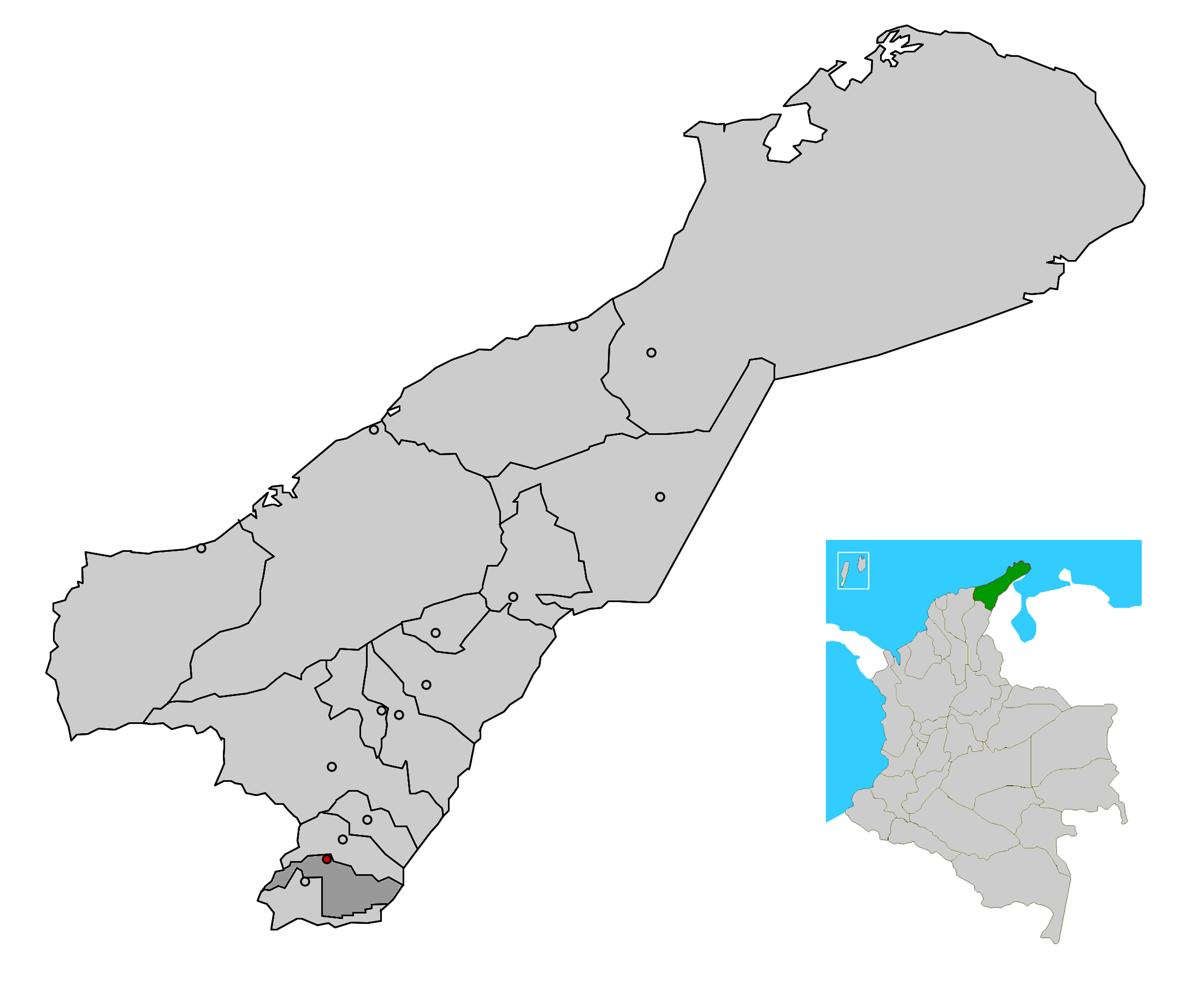
map_caption = Location of the town and municipality of Urumita in the Department of La Guajira.
subdivision_type =Country
subdivision_type1 = Region
subdivision_type2 = Department
subdivision_name =Colombia
subdivision_name1 = Caribbean
subdivision_name2 = La Guajira
leader_title =Mayor
leader_name =Eunice Murgas Saurith (L) [ [http://www.registraduria.gov.co/reselec2007_esc/1028/x.html es icon Colombian Registry of the Civil State: 2007 election results] ]
established_title = Foundation
established_date =October 3 ,1785 byJuan Bautista Canalete
area_magnitude =
area_total_sq_mi =
area_total_km2 = 329
area_land_sq_mi =
area_land_km2 =
area_water_sq_mi =
area_water_km2 =
area_water_percent =
area_urban_sq_mi =
area_urban_km2 =
area_metro_sq_mi =
area_metro_km2 =
population_as_of =2005
population_note = [ [http://www.ocaribe.org/downloads/grupos/economia_competitividad/estudio_zif_guajira_venezuela.pdf es icon Observatorio del Caribe Colombiano: Grupo Regional de investigación en economía y competitividad en el Caribe colombiano by Weildler Guerra, Paola Quintero, Jorge Quintero and Ana María Maldonado] ]
population_total = 8545
population_metro =
population_urban =
population_density_km2 =
population_density_sq_mi =
timezone =
utc_offset = -5
timezone_DST =
utc_offset_DST =
latd= |latm= |lats= |latN=
longd= |longm= |longs= |longW=
elevation_m = 255
elevation_ft =
website =
[http://urumita-guajira.gov.co/sitio.shtml urumita-guajira.gov.co/]
footnotes = *Urumita is a town and municipality of the
Colombia n Department of La Guajira.Geography
The municipality of Urumita is located on the
Serrania del Perija mountain range with part of its territory covering the valley of theCesar River towards theSierra Nevada de Santa Marta mountain range. The municipality seat of Urumita is however located on a flat area some 45 km away from the capital of theDepartment of Cesar ,Valledupar and some 175 km from the capital city of the Department of La Guajira,Riohacha . [ [http://urumita-guajira.gov.co/nuestromunicipio.shtml?apc=m-I1--&m=f&s=m es icon Urumita: geography] ]Urumita limits to the north with the municipality of Villanueva in a 36 km borderline; to the south with the municipality of
La Jagua del Pilar sharing approximately 50 km; to the east with theBolivarian Republic of Venezuela , sharing 10 km; and to the west with the municipality of Valledupar sharing 15 km covering a total area of 329 km². [ [http://urumita-guajira.gov.co/nuestromunicipio.shtml?apc=m-I1--&m=f&s=m es icon Urumita: geography] ]Climate
Climate in the municipality of Urumita is warm with an averages a temperature through out the year of 28°C variating slightly during the two rainy season and the two dry seasons, as well as the effect of the
trade winds which flow from northeast. [ [http://urumita-guajira.gov.co/nuestromunicipio.shtml?apc=m-I1--&m=f&s=m es icon Urumita: climate] ]History
Prior to the arrival of the Spanish colonizers the area of Urumita was inhabied by indigenous peoples pertaining to the
Chimilas . At the time of the Spanish arrival in the early 16th Century, the area was governed by a Cacique named Uruma. After a period of conquest and colonization by the Spanish, on October 3, 1785 Juan Bautista Canalete founded the village of Urumita. The village became part of the jurisdiction of the municipality of Villanueva within the Government of Santa Marta. It was later made part of theProvince of Padilla . [ [http://urumita-guajira.gov.co/nuestromunicipio.shtml?apc=m-I1--&m=f&s=m es icon Urumita: History] ]In 1972 Urumita became an autonomous corregimiento by Ordinance 043 of 1971 until 1978 when the Urumita was segregated from the municipality of Villanueva and became a relative status by Ordinance 016 of the same year. In 1982 the previous ordinance of 1978 is reconfirmed by ordinance 036 of 1982 rectifying the limits with Villanueva. [ [http://urumita-guajira.gov.co/nuestromunicipio.shtml?apc=m-I1--&m=f&s=m es icon Urumita: History] ]
Culture
The region has a large presence of
Calaguala s, a plant considered medicinal. It is used in various ways by the population of Urumita, and it's part of its popular culture. The locals celebrate theFestival y Reinado de las Flores y la Calaguala (Festival and Pageant of the Flowers and the Calaguala) in honor of the plant. [ [http://urumita-guajira.gov.co/nuestromunicipio.shtml?apc=m-I1--&m=f&s=m es icon Urumita: Culture] ]References
External links
*es icon [http://urumita-guajira.gov.co/sitio.shtml Urumita official website]
*es icon [http://www.laguajira.gov.co/municipios/urumita.htm Gobernacion de La Guajira - Urumita]
Wikimedia Foundation. 2010.