- Armutlu, Kemalpaşa
Infobox Settlement
settlement_type = Town
subdivision_type = Country
subdivision_name = TUR
timezone=EET
utc_offset=+2
map_caption = Location of Armutlu within Turkey.
timezone_DST=EEST
utc_offset_DST=+3
official_name = Armutlu
image_caption =
image_blank_emblem =
blank_emblem_type =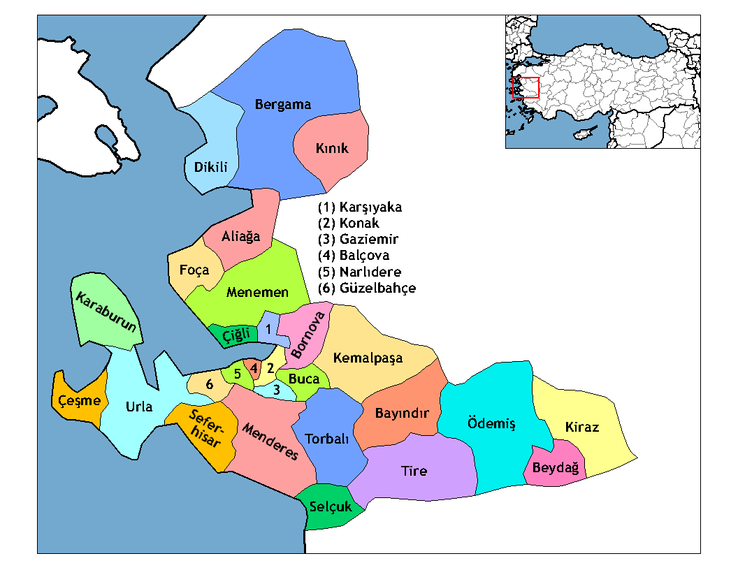
subdivision_type1=Region
subdivision_name1 = Aegean
subdivision_type2=Province
subdivision_name2 = Kemalpaşa-İzmir
population_total = 7.046
population_urban =
population_as_of = 2000
population_footnotes = [http://www.kemalpasa.gov.tr/belediye.asp]
population_density_km2 =
area_total_km2 =
elevation_m =
latd =
latm =
latNS =
longd =
longm =
longEW =
postal_code_type=Postal code
postal_code = 35x xx
blank_info = 35|blank_name=Licence plate
area_code = (0090)+ 232
leader title =Mayor
leader_name = Süleyman Tanrıöven (Justice and Development Party )
website =
leader_name1 =
gwebsite = [http://www.kemalpasa.gov.tr www.kemalpasa.gov.tr]"For other localities of the same name, see;
Armutlu ".Armutlu is a large town in
İzmir Province inTurkey 's Aegean Region. It is one of five townships which have a municipality of their own constituted and which depend the district center ofKemalpaşa .
Wikimedia Foundation. 2010.