- Ottersum
-
Ottersum 
Flag
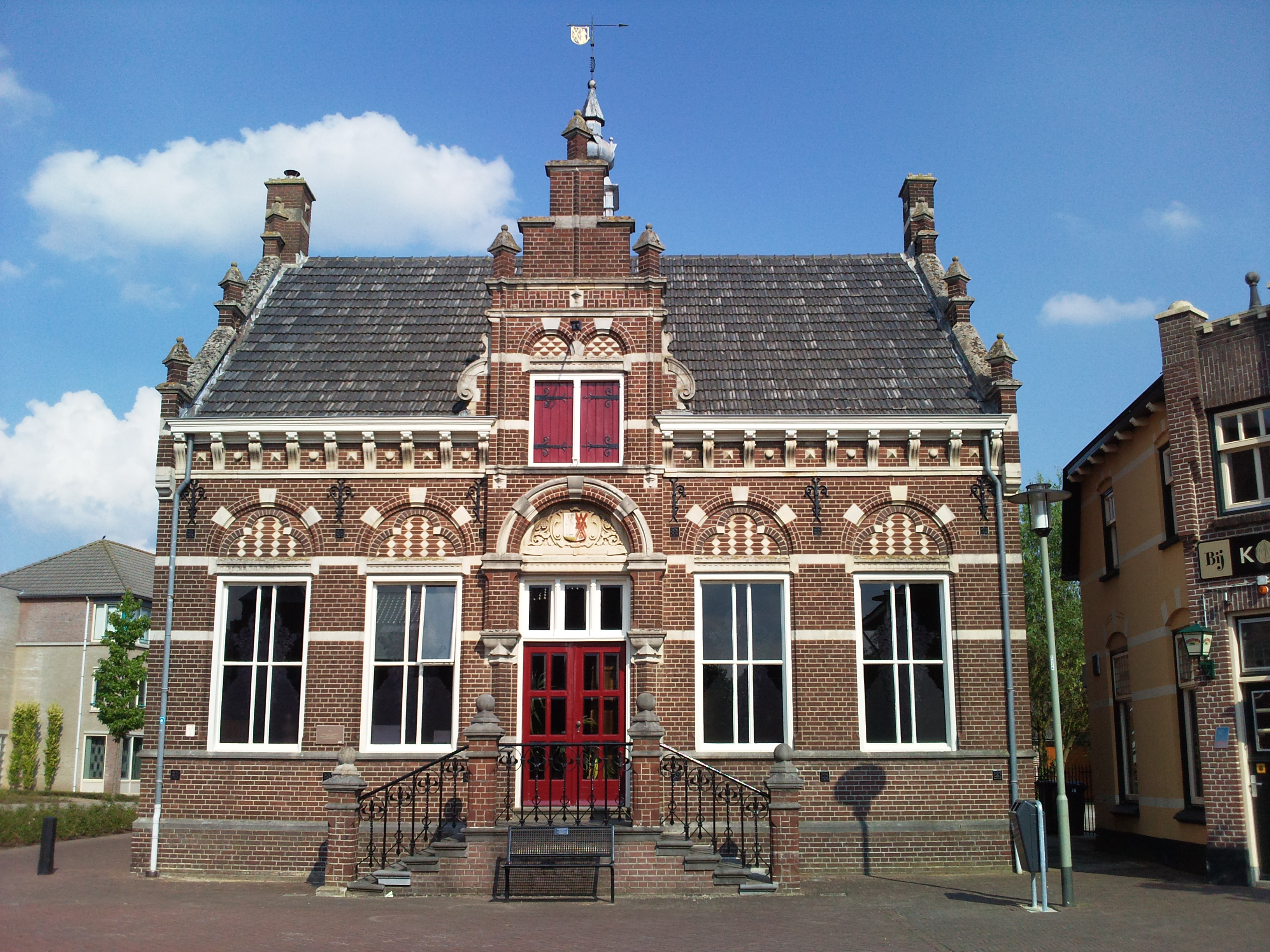
Coat of armsCoordinates: 51°42′14″N 5°59′3″E / 51.70389°N 5.98417°ECoordinates: 51°42′14″N 5°59′3″E / 51.70389°N 5.98417°E Country Netherlands Province Limburg Municipality Gennep Population (1 January 2008) 2,472  Ottersum, former town hall
Ottersum (51°42′N 5°59′E / 51.7°N 5.983°E) is a town in the Dutch province of Limburg. It is a part of the municipality of Gennep, and lies about 17 km southeast of Nijmegen.
Ottersum was a separate municipality until 1973, when it was merged with Gennep.[1]
In 2001, Ottersum had 1568 inhabitants. The built-up area of the town was 0.33 km², and contained 596 residences.[2]
References
- ^ Ad van der Meer and Onno Boonstra, Repertorium van Nederlandse gemeenten, KNAW, 2006.
- ^ Statistics Netherlands (CBS), Bevolkingskernen in Nederland 2001 [1]. Statistics are for the continuous built-up area.
External links
- J. Kuyper, Gemeente Atlas van Nederland, 1865-1870, "Ottersum". Map of the former municipality, around 1868.
Categories:- Populated places in Dutch Limburg
- Former municipalities of Dutch Limburg
- Dutch Limburg geography stubs


Wikimedia Foundation. 2010.