- Mahendragiri
-
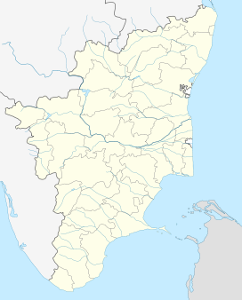
Mahendragiri Tirunelveli district, Tamil Nadu, India Elevation 1,654 m (5,427 ft) Location Range Western Ghats Coordinates 8°23′18″N 77°31′17″E / 8.38833°N 77.52139°ECoordinates: 8°23′18″N 77°31′17″E / 8.38833°N 77.52139°E Climbing Easiest route Hike/scramble Mahendragiri is the name of a hill in southern Tamil Nadu, near Nagercoil, in Kanyakumari district. It is part of the southern tip of the Western Ghats, with an elevation of 1,654 metres (5,427 ft).
The test facilities for Liquid Propulsion Systems Centre, a part of Indian Space Research Organisation (ISRO), is situated on the lower slopes of this mountain.
It is the Highest peak in Nagercoil.
Citations
References
- Nagar, Shanti Lal (1999). Genesis and evolution of the Rāma kathā in Indian art, thought, literature, and culture: from the earliest period to the modern times, Volume 2. B.R. Pub. Co.. ISBN 8176460842.
Categories:- Western Ghats
- Ancient Indian mountains
- Tirunelveli
- Hills of Tamil Nadu
- Tirunelveli district geography stubs
Wikimedia Foundation. 2010.

