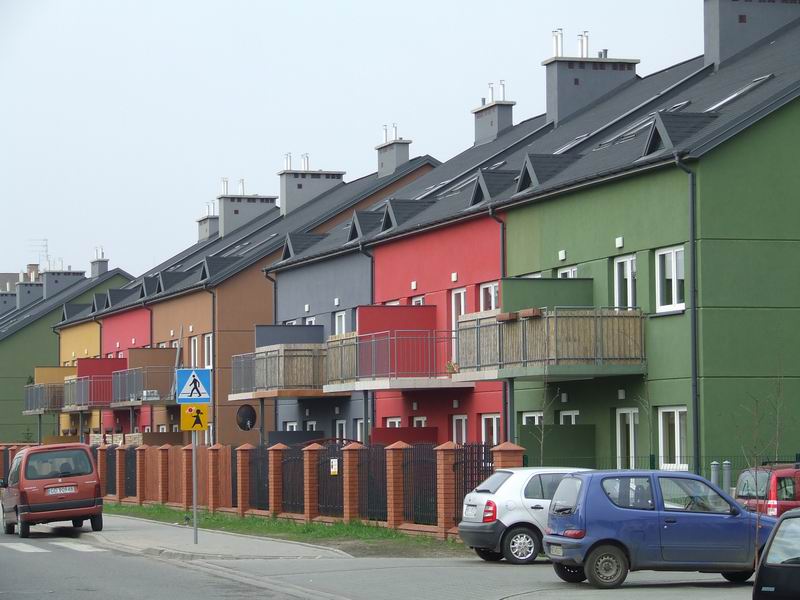
- Łomianki
Infobox Settlement
name = Łomianki
imagesize = 250px
image_shield = POL Łomianki COA.svg
pushpin_
pushpin_label_position = bottom
subdivision_type = Country
subdivision_name =Poland
subdivision_type1 = Voivodeship
subdivision_name1 = Masovian
subdivision_type2 = County
subdivision_name2 = Warsaw West
subdivision_type3 =Gmina
subdivision_name3 = Łomianki
leader_title = Mayor
leader_name = Wiesław Pszczółkowski
leader_party = PO
established_title = Town rights
established_date = 1989
area_total_km2 = 8.4
population_as_of = 2006
population_total = 15875
population_density_km2 = auto
timezone = CET
utc_offset = +1
timezone_DST = CEST
utc_offset_DST = +2
latd=52 |latm=20 |lats= |latNS=N
longd=20 |longm=53 |longs= |longEW=E
elevation_m = 73
postal_code_type = Postal code
postal_code = 05-092
area_code = +48 22
website = http://www.lomianki.pl/
blank_name = Car plates
blank_info = WZŁomianki [IPA-pl|ł|o|'|m|j|a|n|k|i] is a town in
Warsaw West County ,Masovian Voivodeship ,Poland , with 15,602 inhabitants (2005).Near Łomianki, there is a remarkale Vistula powerline crossing.
References
Wikimedia Foundation. 2010.

