- Scales Mound Township, Jo Daviess County, Illinois
Infobox Settlement
unit_pref=Imperial
settlement_type=Township
official_name = Scales Mound Township
nickname =
motto =
imagesize =
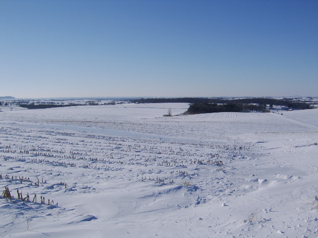
image_caption = Winter landscape in Scales Mound Township,
north ofScales Mound, Illinois (2008)
image_
mapsize =
map_caption = Location in Jo Daviess County
subdivision_type = Country
subdivision_name =United States
subdivision_type1 = State
subdivision_name1 =Illinois
subdivision_type2 = County
subdivision_name2 = Jo Daviess
leader_title = Supervisor
leader_name =Steve Stadel
established_title =
established_date =
area_magnitude =
area_total_km2 = 48.17
area_total_sq_mi = 18.6
area_land_km2 = 48.17
area_land_sq_mi = 18.6
area_water_km2 = 0.0
area_water_sq_mi = 0.0
area_water_percent = 0.0
area_urban_km2 =
area_urban_sq_mi =
area_metro_km2 =
area_metro_sq_mi =
population_as_of = 2000
population_note =
population_total = 635
population_density_km2 =
population_density_sq_mi =
population_metro =
population_density_metro_km2 =
population_density_metro_sq_mi =
population_urban =
timezone = CST
utc_offset = -6
timezone_DST = CDT
utc_offset_DST = -5
latd= |latm= |lats= |latNS=
longd= |longm= |longs= |longEW=
elevation_m =
elevation_ft =
website =
footnotes =Scales Mound Township is located in Jo Daviess County,
Illinois . The population was 635 at the 2000 census. 401 (63%) of these lived in the township's only incorporated village,Scales Mound, Illinois . Scales Mound Township contains the highest natural point in Illinois,Charles Mound .Transportation
Major routes through the township are the east-west routes of
Stagecoach Trail and Council Hill Road, as well as the north-south Elizabeth-Scales Mound Road. A railroad cuts through the Township. This railroad, like the Stagecoach Trail, connectsGalena, Illinois andFreeport, Illinois at a more northern route than theU.S. Route 20 . The Stagecoach Trail, and to a lesser extent the railroad, are important factors in the development of the region.History
The first settlers in Scales Mound Township arrived in 1826, on their way to the Lead Mine District in and around Galena. It was that year that these settlers discovered the "Upper East Fork" mines in what would become the township.Mansberger, Floyd. " [http://gis.hpa.state.il.us/hargis/PDFs/200844.pdf Scales Mound Historic District] ", (
PDF ), National Register of Historic Places Registration Form,May 2 ,1990 , "Illinois Historic Preservation Agency ", accessedMay 17 ,2008 .] The township's first real permanent settlers began to arrive from 1827–28, mostly miners and farmers. Elijah Charles arrived in 1828 and settled at the base of a mound that today bears his name and is considered the highest point in the state of Illinois.References
External links
* [http://factfinder.census.gov/servlet/DatasetMainPageServlet?_lang=en&_ US Census]
* [http://www.city-data.com/township/Scales-Mound-Jo-Daviess-IL.html City-data.com]
* [http://www.jodaviess.org/ Jo Daviess County Official Site]
Wikimedia Foundation. 2010.

