- Middle Harbor Shoreline Park
-
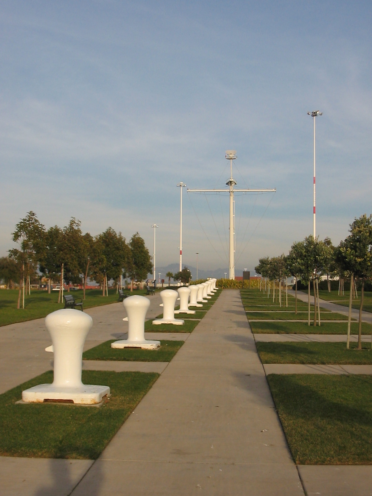
Middle Harbor Shoreline Park [1] lies west of downtown Oakland, California mostly on land formerly occupied by the Oakland Naval Supply Depot. The portion adjacent to the Port of Oakland which includes Port View Park was originally part of the Oakland Pier or Mole, the massive western terminus of the Southern Pacific Railroad. The interlocking tower from the railroad's pier has been moved and partially restored as a small commemorative museum. The Naval Supply Depot closed in 1998 and the property was transferred to the Port of Oakland. The land was developed as a park between 2002 and 2004 and is now operated by the East Bay Regional Park District. The mast of the USS Oakland is displayed at the entrance of the park.
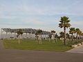
Redevelopment of the land included restoration of beaches and creation of a lagoon. [2]
-

Redeveloped park land. The mast of the USS Oakland is in the distance.
-
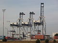
Gantry cranes of the Port of Oakland.
-
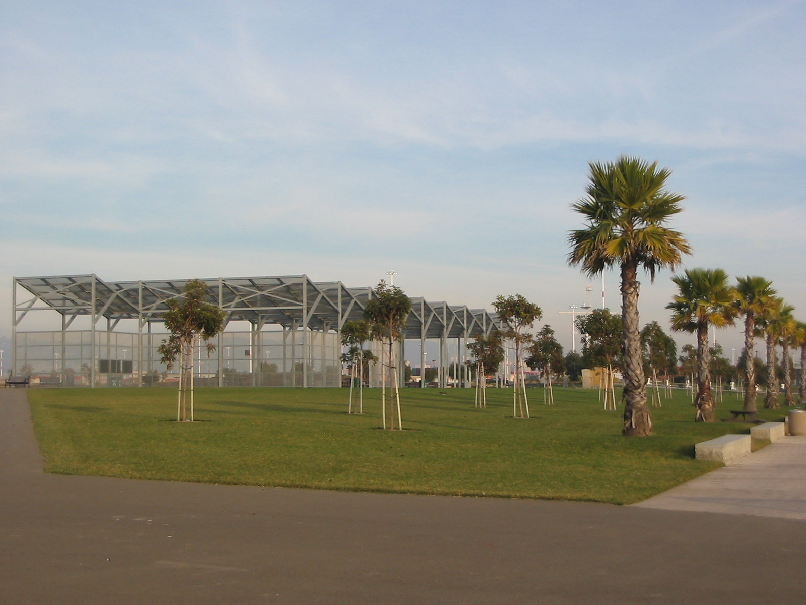
Shaded picnic area.
-
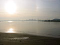
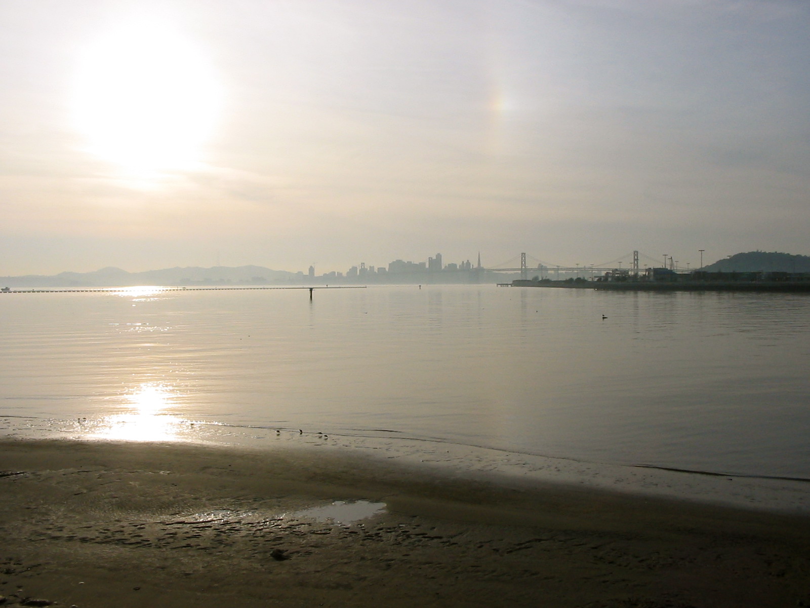
View of beach area and San Francisco from Middle Harbor Shoreline Park.
- Middle Harbor Shoreline Park is at coordinates 37°48′21″N 122°19′27″W / 37.8057°N 122.3242°WCoordinates: 37°48′21″N 122°19′27″W / 37.8057°N 122.3242°W
External links
- Middle Harbor Shoreline Park - at the East Bay Regional Parks District website.
East Bay Regional Parks Parks Anthony Chabot · Briones · Castle Rock · Contra Loma · Coyote Hills · Crockett Hills · Del Valle · Diablo Foothills · Dry Creek Pioneer · Garin · Lake Chabot · Middle Harbor Shoreline · Pleasanton Ridge · Redwood · Ridgelands · Shadow Cliffs · Sobrante Ridge · Temescal · Tilden · Wildcat CanyonShorelines Preserves/Open Spaces Wilderness Areas Recreation Areas Trails Other Categories:- Alameda County, California geography stubs
- East Bay Regional Park District
- San Francisco Bay
- Geography of Oakland, California
- Parks in Alameda County, California
-

Wikimedia Foundation. 2010.