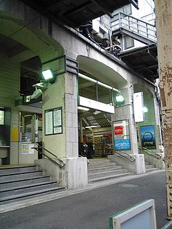
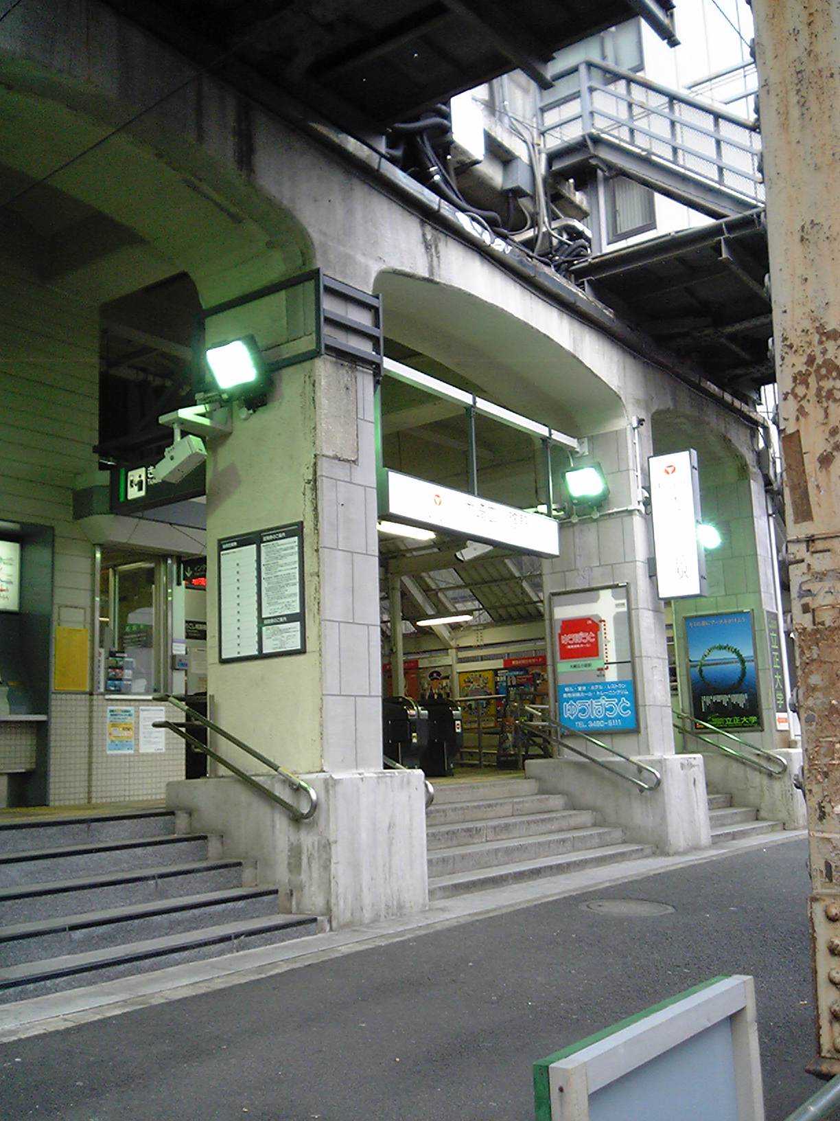
- Ōsaki-Hirokōji Station
-
Ōsaki-Hirokōji Station大崎広小路駅
Location Prefecture Tokyo
(See other stations in Tokyo)Ward Shinagawa Neighborhood etc. 4-chome, Ōsaki (in Japanese) 東京都品川区大崎4丁目 History Year opened 1927 Rail services Operator(s) Tokyo Kyuko Electric Railway Line(s) Tokyu Ikegami Line  There is a bus stop near this station
Ōsaki-Hirokōji Station (大崎広小路駅 -eki) is a station on the Tokyu Ikegami Line in southeast Tokyo, Japan. The line originally terminated at this station, but was later extended to nearby Gotanda Station, a mere 300 meters away. It is also within walking distance from Osaki Station.
Contents
Station layout
A elevated island platform.
1 ■Ikegami Line Togoshi-Ginza ・ Hatanodai ・ Yukigaya-Ōtsuka ・ Ikegami ・ Kamata 2 ■Ikegami Line Gotanda History
- October 9, 1927 Opened (Togoshi-Ginza - Ōsaki-Hirokōji opened).
- June 17, 1928 Ōsaki-Hirokōji - Gotanda opened.
Bus services
- Ōsaki-Hirokōji (大崎広小路) bus stop
- Tokyu Bus
- <渋41>Shibuya Sta. - Naka-Meguro Sta. - Ōtori Shrine mae - Ōsaki-Hirokōji - Ōsaki Sta. - Ōimachi Sta.
- <渋72>Shibuya Sta. (East Exit) - Ebisu Sta. - Ōtori Shrine mae - Meguro Fudo - Ōsaki-Hirokōji - Gotanda Sta.
- <反01>Gotanda Sta. - Ōsaki-Hirokōji - Ebara Garage - Ikegami Police Station - Tamagawa Ōhashi - Kawasaki Sta.
- <反02>Gotanda Sta. - Ōsaki-Hirokōji - Ebara Garage - Ikegami Police Station
- <反11>Gotanda Sta. - Ōsaki-Hirokōji - Gakugeidaigaku Sta. - Setagaya Ward Citizen Hall
- Tokyu Bus
Adjacent stations
« Service » Gotanda Tokyu Ikegami Line Togoshi-Ginza Stations of Tōkyū Ikegami Line Gotanda - Ōsaki-Hirokōji - Togoshi-Ginza - Ebara-Nakanobu - Hatanodai - Nagahara - Senzoku-Ike - Ishikawadai - Yukigaya-Ōtsuka - Ontakesan - Kugahara - Chidorichō - Ikegami - Hasunuma - Kamata
External links
- (Japanese) Oosakihirokouji Station (Tokyu)
Coordinates: 35°37′20″N 139°43′21″E / 35.6223°N 139.72237°E
Categories:- Railway stations in Tokyo
- Railway stations opened in 1927
- Tokyu Ikegami Line
- Stations of Tokyu Corporation
- Tokyo railway station stubs
Wikimedia Foundation. 2010.