- Death Canyon
-
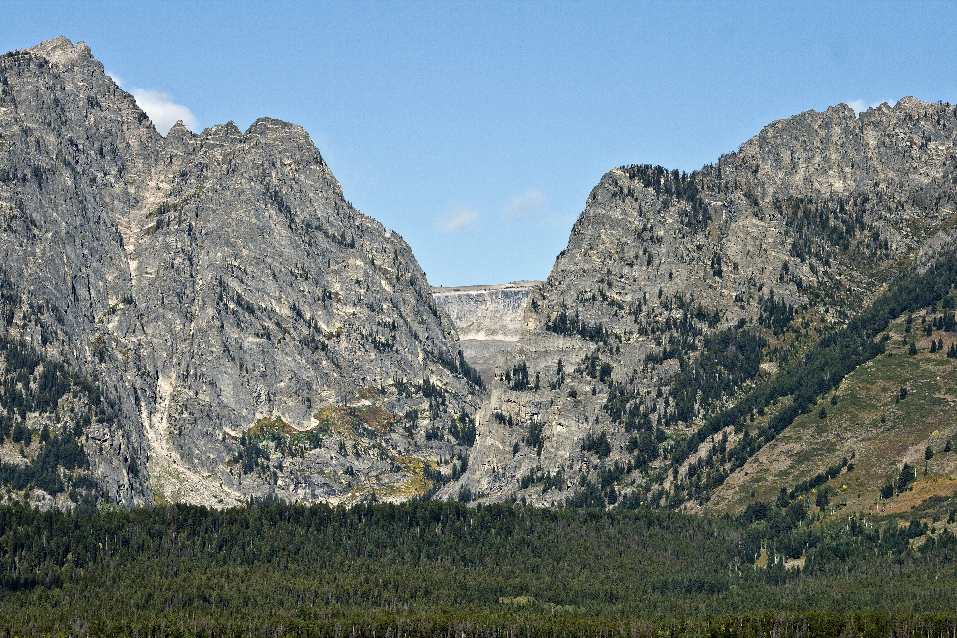
Death Canyon  Death Canyon from Jackson Hole
Country United States State Wyoming County Teton Source - coordinates 43°38′46″N 110°54′07″W / 43.64611°N 110.90194°W [1] Mouth Phelps Lake - elevation 6,690 ft (2,039 m) [1] - coordinates 43°39′11″N 110°48′24″W / 43.65306°N 110.80667°W [1] Death Canyon is located in Grand Teton National Park, in the U. S. state of Wyoming.[2] The canyon was formed by glaciers which retreated at the end of the last glacial maximum approximately 15,000 years ago, leaving behind a U-shaped valley.[3] The trailhead for the canyon is located on a side road off the Moose-Wilson Road, approximately 5 miles (8.0 km) from the park headquarters at Moose, Wyoming. At the base of the canyon is Phelps Lake which was created by glacial activity. A number of hiking trails are accessed at the mouth of the canyon and at Fox Creek Pass, at which point the Death Canyon Shelf, a relative narrow and level plateau, can be traversed.[4] The canyon has many Whitebark Pine stands, particularly near the tree line. At the junction of the Death Canyon and the Alaska Basin trails, the historic Death Canyon Barn is preserved after being listed on the National Register of Historic Places in 1998.[5]
 Death Canyon from the Death Canyon Shelf
See also
- Canyons of the Teton Range
- Geology of the Grand Teton area
References
- ^ a b c "Death Canyon". Geographic Names Information System, U.S. Geological Survey. http://geonames.usgs.gov/pls/gnispublic/f?p=gnispq:3:::NO::P3_FID:1599168. Retrieved 2011-05-21.
- ^ TopoQwest (United States Geological Survey Maps). Grand Teton, WY (Map). http://www.topoquest.com/map.php?lat=43.66073&lon=-110.82864&datum=nad83&zoom=8&map=auto&coord=d&mode=zoomin&size=m. Retrieved 2011-05-21.
- ^ "Park Geology". Geology Fieldnotes. National Park Service. http://www.nature.nps.gov/geology/parks/grte/index.cfm. Retrieved 2011-05-21.
- ^ "Day Hikes" (pdf). National Park Service. http://www.nps.gov/grte/planyourvisit/upload/Dayhikes10.pdf. Retrieved 2011-05-21.
- ^ "Death Canyon Barn" (pdf). National Register of Historic Places. National Park Service. May 21, 2011. http://nrhp.focus.nps.gov/natregsearchresult.do?fullresult=true&recordid=9. Retrieved 2011-05-21.
Categories:- Canyons and gorges of Grand Teton National Park

Wikimedia Foundation. 2010.