- Ondangwa Airport
-
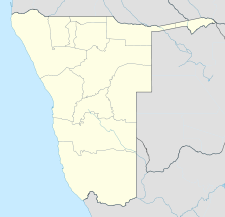
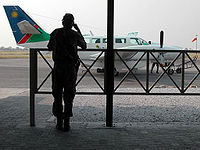
Ondangwa Airport IATA: OND – ICAO: FYOA Location of airport in Namibia Summary Airport type Public Owner/Operator Namibia Airports Co.[1] Serves Ondangwa, Namibia Elevation AMSL 3,599 ft / 1,097 m Coordinates 17°52′41″S 015°57′09″E / 17.87806°S 15.9525°E Runways Direction Length Surface m ft 08/26 2,987 9,800 Asphalt 16/34 1,348 4,423 Sources: Namibia Airports Co.[2], DAFIF[3][4] Ondangwa Airport (IATA: OND, ICAO: FYOA) is an airport serving Ondangwa,[2][3] a town in the Oshana Region of Namibia. The airport is about 5 km (3 mi) northwest of the center of Ondangwa.[5]
Contents
Facilities
The airport resides at an elevation of 3,599 feet (1,097 m) above mean sea level. It has one runway designated 08/26 with an asphalt surface measuring 2,987 by 30 metres (9,800 × 98 ft).[3] It also has a secondary runway measuring 1,348 by 30 metres (4,423 × 98 ft)[2] that is designated 16/34.[6]
Airlines and destinations
Airlines Destinations Air Namibia Windhoek References
- ^ Namibia Airports Company: Airport Information
- ^ a b c "Ondangwa Airport". Namibia Airports Company, Ltd. http://www.airports.com.na/Ondangwa.php.
- ^ a b c Airport information for FYOA from DAFIF (effective October 2006)
- ^ Airport information for OND at Great Circle Mapper. Source: DAFIF (effective Oct. 2006).
- ^ "Distance from Ondangwa to airport". WikiMapia. http://www.wikimapia.org/#lat=-17.8925006&lon=15.9609032&z=14&l=0&m=h&gz=0;159477711;-179121026;0;312009;293541;0. Retrieved 18 Feb 2010.
- ^ "Annotated aerial image showing length of secondary runway, marked 16/34". WikiMapia. http://www.wikimapia.org/#lat=-17.8749386&lon=15.9435654&z=16&l=0&m=b&v=8&gz=0;159405774;-178803606;66090;0;0;103539. Retrieved 18 Feb 2010.
External links
Categories:- Airports in Namibia
- Buildings and structures in Oshana Region
- Southern African airport stubs
- Namibian building and structure stubs
Wikimedia Foundation. 2010.


