- Türkmenabat
-
Türkmenabat
Charjew, ChardzhouTurkmenabat Airport Location in Turkmenistan
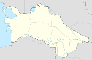
 Türkmenabat
Coordinates: 39°05′00″N 63°34′00″E / 39.0833333°N 63.5666667°E Country  Turkmenistan
Province Lebap Province Population (2009 census)[1] – Total 253,000 Türkmenabat (Cyrillic Turkmen: Түркменабат), formerly and since the medieval times, Chardzhou (Russian: Чарджоу, Turkmen: Чәрҗев), also spelled Çärjew, Chardjui, Charjou, Chardzhev, Charjev, Chärjew, or Charjew (Persian for 'four canals'), ancient Amul, is a town in Turkmenistan, capital of Lebap Province. As of 2009, it had a population of approximately 254,000 people (up from 161,000 in the 1989 census).
The name Chardjui is Persian (چهارجوی) and means "four streams".
Contents
Geography
Türkmenabat is located at latitude 39.1014 North; longitude 60.5750 East, at an altitude of 187 meters on the banks of the Amu-Darya River, near the border with Uzbekistan.Turkmenabat is center of Lebap province,which has borders with another three provinces Mary,Ahal and Dashoguz; also with Uzbekistan and Afghanistan.
History
Although now a modern industrial city, Türkmenabat has a history of over 2,000 years. In ancient times, it was known as Āmul (to be distinguished from the Iranian city of Amol). The river Amu Darya is said to have been named after this city meaning the River of Amul. Also Turkmenabat had been hub in intersection between 3 paths of Great Silk Way,which then separated in 3 directions to Bukhara,Khiva and Merv.[citation needed]. Turkmenabat or Amul was an important town of a relatively backward Uzbek feudal khanate (later emirate)of Bukhara, for centuries. With the invasion of all Central Asian Turkestan by the Russian Empire, Amul became the part of a massive Russia under control of a vassalic Bukhara emir who pledged allegiance to the Russian emperor. The modern city was founded in 1886, when some Cossack Russians settled in what is now Uralka, a region in Turkmenabat, and named their settlement as New-Chardjuy. It was necessary to complete the construction of the Trans-Caspian railway. After the revolution of 1917, when the bolsheviks came into power in Russia, communists started to disintegrate former khanates into republics on a nationality basis. Thus, Turkmenabat (known as Chardjuy at those times) passed to the newly created Turkmen Soviet Socialistic Republic in a move to reduce the territory and strength of a highly nationalistic Uzbekistan.
Its role of railway junction and the high fertility of the Amu-Darya region made it the major trade center for agricultural products in the northeast region of the country. The city has food processing, textile (cotton processing and silk) factories. Chardzhou was Turkmenistan's industrial and transport hub during the Soviet period, but most of these related jobs and transport opportunities have been relocated to Ashgabat or closed since Turkmenistan's independence!
Transportation
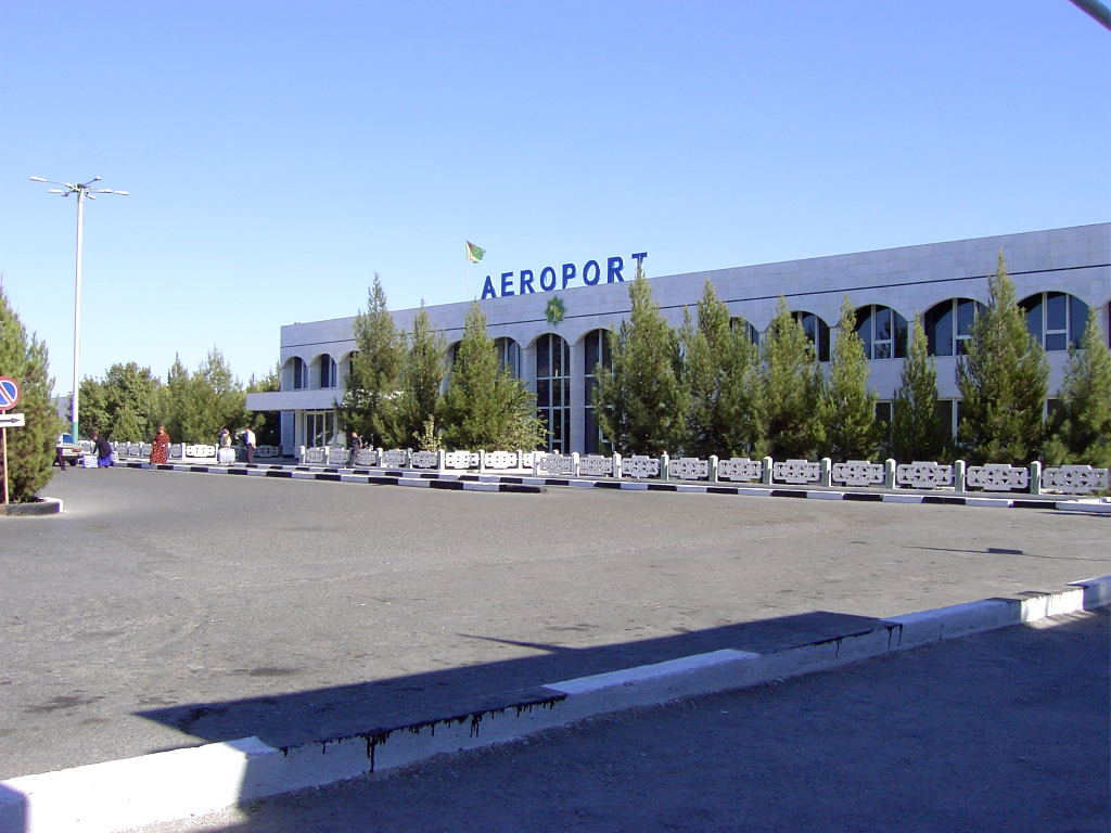
The city is connected with the Turkmen capital Ashgabat and Turkmen port city Türkmenbaşy by Turkmenistan Airlines and the M37 highway and also by train to all provinces all around Turkmenistan.
Miscellaneous
Some 70 kilometers south of Türkmenabat in the East Karakum Desert is the Repetek Nature Reserve, famed for its zemzen, or desert crocodiles.
Türkmenabat is unusual in that it has a large (60%-70%) ethnic Uzbek population[citation needed], which has heavily influenced the area's culture and customs.
Tasinlikler meydanchasy is a park where people celebrate national holidays. Turkmenabat also famous with its bazaars.The well-known are 'Gok bazar' ,'Dunya bazar' and 'Merkezi bazar'.The biggest bazaar is 'World bazaar' which is known by the name 'Dunya bazar'.People all around the country come to Turkmenabat in order to purchase local ,Chinese,Turkish,Uzbek and Russian goods. 'Dunya bazar' has many sections; such as: jewelry,home appliances,clothes,diary,cars ...
One of the most attractive places in Turkmenabat is 'Zaton', is an artificial beach,located about 5km from the center of the city .During whole summer youth gather in 'Zaton' to relax and have a fun.
The youth in Turkmenabat has no opportunities of having fun and enjoying their spare time. They spend their spare times mainly in clubs and pubs, but they do not have any place to meet the world culture. Being a city of population over 200 thousand, it doesn't have a cinema, modern theatre showing world's famous spectacles, zoo, even a lunapark with newest attractions for children and youth. The only two ex-cinemas are rent to the interpreneurs and became wed-centers, the place where the wedding ceremonies are being made. The cultural and historical knowledge of the modern youth that don't have opportunity to study abroad is poor. The city doesn't have modern libraries. The only internet caffes are held and traffic controlled by the state.
Education
Turkmenabat has one State-owned University 'Seyitnazar Seydi adyndaky Turkmen Dowlet Universiteti' ,medical college,carrier schools,public schools and Tutkmenabat Turkmen-Turkish High School. Turkmenabat Turkish High School is a leading school in the city.It follows national educational curriculum,where students have a good opportunity to learn English as well as Turkish and Russian languages.Students of this school have being attending to international Olympiads and gained many medals in different branches of Science and Technology.Students of Turkmen-Turkish Schools are honored as 'Proud of Nation'
References
- ^ Population census 1989, Demoscope Weekly, No. 359-360, 1-18 January 2009 (search for Туркменская ССР) (Russian)
External links
Coordinates: 39°05′N 63°34′E / 39.083°N 63.567°E
Provinces of Turkmenistan Province (capital) Ahal Province Abadan City • Akbugdaý District • Babadaýhan District • Baharly District • Gökdepe District • Kaka District • Ruhabat District • Sarahs District • Tejen DistrictBalkan Province Bereket District • Esenguly District • Etrek District • Magtymguly District • Serdar District • Türkmenbaşy DistrictDaşoguz Province Daşoguz City • Köneürgenç City • Akdepe District • Boldumsaz District • Görogly District • Gubadag District • Gurbansoltan Eje District • Köneürgenç District • Saparmyrat Nyýazow District • Saparmyrat Türkmenbaşy DistrictLebap Province CountyAtamyrat District • Beýik Türkmenbaşy District • Birata District • Farap District • Galkynyş District • Garabekewül District • Garaşsyzlyk District • Halaç District • Hojambaz District • Köýtendag District • Magdanly District • Sakar District • Saýat District • Serdarabat District • Seýdi DistrictCityMary Province Baýramaly City • Baýramaly District • Ýolöten District • Garagum District • Mary District • Murgap District • Oguzhan District • Sakarçäge District • Serhetabat District • Tagtabazar District • Türkmengala District • Wekilbazar District Cities of Turkmenistan
Capital Other cities Abadan • Akdepe • Baharly • Balkanabat • Baýramaly • Darganata • Daşoguz • Esenguly • Gyzyletrek • Kerki • Kunya Urgench • Mary • Serdar • Tagtabazar • Tejen • Turkmenabat • Turkmenbashi • ÝolötenCategories:- Populated places along the Silk Road
- Populated places in Turkmenistan
- Districts of Turkmenistan

Wikimedia Foundation. 2010.