Grahamstown (Riverina), New South Wales
- Grahamstown (Riverina), New South Wales
Infobox Australian Place | type = town
name = Grahamstown
state = nsw
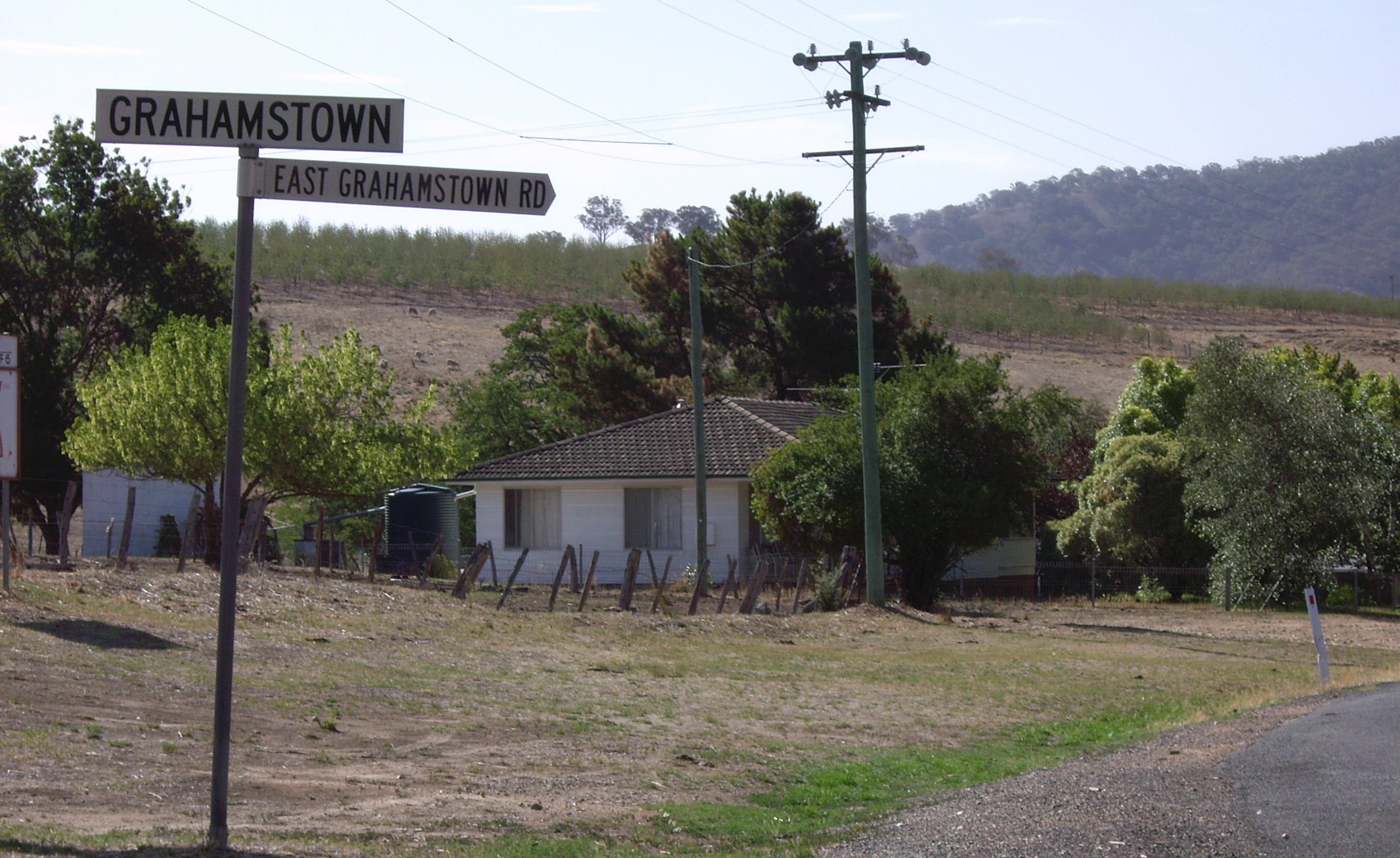
caption = Grahamstown
lga =
postcode = 2729
coordinates = coord|35|15|53|S|148|2|7|E |scale:100000_region:AU-NSW |display=title,inline |name=Grahamstown, New South Wales
pop = 363 (within 7 km radius)
est =
elevation= 309
maxtemp =
mintemp =
rainfall =
county = Wynyard
stategov = Wagga Wagga
fedgov =
dist1 = 12
location1= Adelong
dist2 = 13
location2= Tumblong
Grahamstown is a village community in the central east part of the Riverina and situated about 12 kilometres north from Adelong and 13 kilometres south from Tumblong. It has a population within a 7 kilometre radius of approximately 363 people. [ [http://www.fallingrain.com/world/AS/2/Grahamstown.html Maps, Weather, and Airports for Grahamstown, Australia ] ]
Grahamstown consists of a small number of private residences on the Adelong to Tumblong road and the somewhat dilapidated Billy Goat Hall.
Notes and references
Wikimedia Foundation.
2010.
Look at other dictionaries:
Darlington Point, New South Wales — Darlington Point New South Wales The Punt Hotel … Wikipedia
One Tree, New South Wales — One Tree redirects here. For the American novel, see The One Tree. One Tree New South Wales The partially rebuilt hotel, fenced off … Wikipedia
Merungle Hill, New South Wales — Merungle Hill New South Wales Irrigation pumping station … Wikipedia
Pleasant Hills, New South Wales — Pleasant Hills New South Wales Public hall, built in 1912 … Wikipedia
Mitta Mitta, New South Wales — This article is about the locality in New South Wales, Australia. For the town in Victoria, Australia, see Mitta Mitta, Victoria. Mitta Mitta New South Wales … Wikipedia
Old Junee, New South Wales — Old Junee New South Wales Entering Old Junee … Wikipedia
Coolamon, New South Wales — Coolamon New South Wales Coolamon seen as entering from the Wagga Wagga road … Wikipedia
Methul, New South Wales — Methul New South Wales Methul is red soil wheat country in the Riverina … Wikipedia
Coolac, New South Wales — Coolac New South Wales Coolac Hotel … Wikipedia
Marrar, New South Wales — Marrar New South Wales Royal Hotel at Marrar … Wikipedia