- Connecticut Route 97
-
Route 97

Route information Maintained by ConnDOT Length: 29.14 mi[1] (46.90 km) Existed: 1932 – present Major junctions South end:  Route 12 in Norwich
North end: 
 US 44 / Route 169 in Pomfret
Highway system Routes in Connecticut
Special Service Roads • State Roads←  I-95
I-95Route 99  →
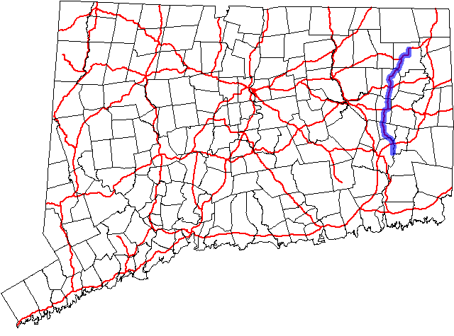
→Route 97 is a north–south state highway in eastern Connecticut running for 29.14 miles (46.90 km) from Route 12 in Norwich to US 44 in Pomfret.
Contents
Route description
Route 97 begins at an intersection with Route 12 in the Taftville section of Norwich, then heads north along the Shetucket River, briefly overlapping with Route 169 before passing through Sprague into Scotland, where it overlaps Route 14 for 0.68 miles (1.09 km). After the overlap, it continues north and northeast through Hampton into Pomfret, where it ends at its northern of two intersections with US 44, also meeting Route 169.[1]
Special Designations
Route 97 is designated a scenic route from its southern intersection with US 44 in Pomfret to its northern terminus, a distance of 4.50 miles (7.24 km).[2]
History
In 1922, the road from Abington to Pomfret Center along modern Route 97 was designated as State Highway 345. Further south, the road from Taftville to Baltic was part of State Highway 354, which continued past Baltic to Lebanon center. In the 1932 state highway renumbering, Highway 345 renumbered to Route 201, while most of Highway 354 (between Baltic and Lebanon center) became Route 207. Most of modern Route 97 was commissioned in 1932 as well, including the Taftville-Baltic portion of old Highway 354. The original Route 97 deviated from the current route at Station Road in Hampton and ran north to Route 91 (now Route 198) in Chaplin. It was relocated to its current route between Hampton and Abington using a previously unsigned state road (former SR 860) in 1934. At the same time, Route 97 absorbed former Route 201, extendng the route to Pomfret Center.[3]
Junction list
Town Road names Major junctions Milepost Notes Norwich
(4.22 miles)[1]Norwich Avenue, Taftville Occum Road,
Bridge Street, Baltic Road Route 120.00 Route 1690.68-0.70 Begin Multiplex Route 1690.98-0.99 End Multiplex  I-395
I-3952.19-2.21 I-395 Exit 83 Sprague
(4.05 miles)Main Street, Scotland Road  Route 207
5.38  Route 138
5.54 Scotland
(6.09 miles)Devotion Road, Pudding Hill Road  Route 14
11.26 Begin Multiplex Route 1411.94 End Multiplex Hampton
(7.90 miles)Pudding Hill Road, Main Street, Pomfret Road  US 6
US 616.80 Pomfret
(6.88 miles)Hampton Road, Deerfield Road US 4424.69  Route 244
28.41 US 44 / Route 16929.14 References
Categories:- State highways in Connecticut
- Transportation in New London County, Connecticut
- Transportation in Windham County, Connecticut

Wikimedia Foundation. 2010.