- Malmskillnadsgatan
-


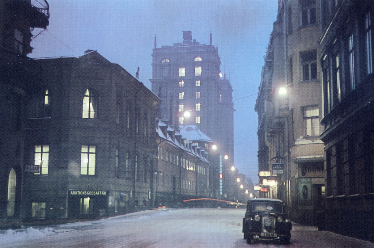
Malmskillnadsgatan 1946 and from the same perspective 2008, Kungstornen in the background Notable buildings and other structures No Name Built 1-7 Bank of Sweden 1974 9 Kulturhuset 1971-76 11-21 Skandinaviska Enskilda Banken 1965 23-25 Nordea 1965 39 Centrumhuset 1931 46-48 Ingenjörshuset 1964 50 South Kungstornet 1925 Malmskillnadsbron 1911 Malmskillnadstrappan 1932 52 North Kungstornet 1924 64 Johannes fire station 1877 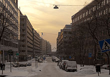 Malmskillnadsgatan 2010
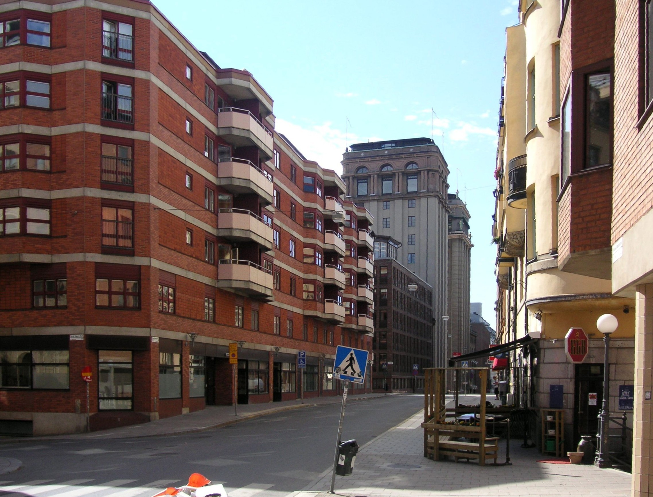
Malmskillnadsgatan (Swedish: "The Ridge Dividing Street") is a 650 metres long street in central Stockholm, Sweden. It stretches northward from the Brunkebergstorg square over Hamngatan; crosses Mäster Samuelsgatan and Oxtorgsgatan; passes over the bridge Malmskillnadsbron passing over Kungsgatan; crosses Brunnsgatan and David Bagares gata; and finally ends at Johannes plan near Döbelnsgatan.
In today's Sweden, at the end of the last ice age, the retiring ice sheet left behind several ridges filled with sand and rounded gravel, ridges called malmar (sing. malm) in Swedish. In the central-northern part of Stockholm, the Brunkebergsåsen, divided the Norrmalm district in an eastern and western part, Östermalm and Västermalm, and Malmskillnadsgatan is a street passing along the top of theridge.
First appearing in documents from the 17th century, the name Malmskillnaden arguably designated some sort of road passing over the Ridge of Brunkeberg, an eventuality obscured by the appearance of the name Skillnadsgatan ("The difference/Divergence street"). The street itself first appears in a map dated 1640, detailing the planned development of Norrmalm, but due to the excavation required, Malmskillnadsgatan was to remain an impracticable for some time. In the late 17th century however, a street called Malm skillnadz gatun is stretching north from Brunkebergstorg to Oxtorget, where a sand hill separated it from what is today its northern section. During the 1710s, finally, the street was entirely united as can be seen in a map dated 1733.[1]
In association with the post-war redevelopment of central Stockholm, the residential area along the southern part of the street was transformed into a business area, effectively making the neighbourhood a no-go area isolated from the surrounding shopping district.
During the 1970s and 1980s, Malmskillnadsgatan (with Artillerigatan in the Östermalm district) was a traditional site for street prostitution in Stockholm), as the isolated location of the street made it completely abandoned after business hours.
References
See also
Coordinates: 59°20′9″N 18°3′55.78″E / 59.33583°N 18.0654944°E
Categories:- Streets in Stockholm
- Stockholm County geography stubs
- Sweden road stubs

Wikimedia Foundation. 2010.