- Esztergom (county)
Infobox Former Subdivision
native_name =
conventional_long_name = Esztergom County
common_name = Esztergom
subdivision = County
nation = theKingdom of Hungary
p1 =
s1 =
flag_s1 =
year_start = 9th century
event_end = Treaty of Trianon
year_end = 1920
date_end = June 4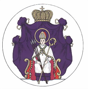
capital = Esztergom
stat_area1 = 1077
stat_pop1 = 90800
stat_year1 = 1910
today =Slovakia ,Hungary Esztergom county (in Latin: "comitatus Stringoniensis", in Hungarian: "Esztergom (vár)megye", in Slovak: "Ostrihomský komitát / Ostrihomská stolica / Ostrihomská župa", in German: "Graner Gespanschaft / Komitat Gran") was a historic administrative county (comitatus) of the
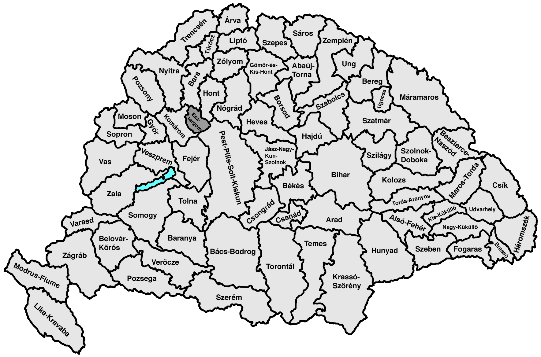
Kingdom of Hungary in present-day southernSlovakia (2/3) and northernHungary (1/3) on both sides of theDanube river.Geography
Esztergom county shared borders with the counties Bars (Tekov),
Hont ,Pest-Pilis-Solt-Kiskun and Komárom (Komárno). Its territory comprised a 15 km strip to the west of the lower part of theHron river and continued some 10 km south of theDanube river. Its area was 1077 km² around 1910.Capitals
The capital of the county was the
Esztergom Castle and the town ofEsztergom , then from 1543 onwards - when the territory became part of theOttoman Empire - the capital was outside the county (e. g. 1605-1663 inNové Zámky ), and finally from 1714 onwards the capital was the town ofEsztergom .History
A predecessor of the county existed as early as in the 9th century, when
Esztergom (called "Ostrihom" at that time) was one of the most important castles ofGreat Moravia . The Esztergom county as a comitatus arose at the end of the 10th century as one of the first comitatus of theKingdom of Hungary . The county had a special status in that since 1270 its heads were at the same time thearchbishop s of Esztergom.In the aftermath of
World War I , the part of Esztergom county north of theDanube became part of newly formed Czechoslovakia, as recognized by the concerned states in the 1920Treaty of Trianon . The southern part remained inHungary and merged with the southern part ofKomárom county to formKomárom-Esztergom county.Following the provisions of the controversial
First Vienna Award , the Czechoslovak part came under Hungarian control in November 1938. The old Esztergom county was recreated. After World War II, the Trianon borders were reestablished. In 1950 the name of the Hungarian part becameKomárom county . This county was renamed toKomárom-Esztergom county in 1990. The part of the county north of the riverDanube is now inSlovakia and is part of theNitra region .ubdivisions
In the early 20th century, the subdivisions of Esztergom county were:
Štúrovo andMužla are presently inSlovakia .
Wikimedia Foundation. 2010.