Charterhouse Street

Charterhouse Street
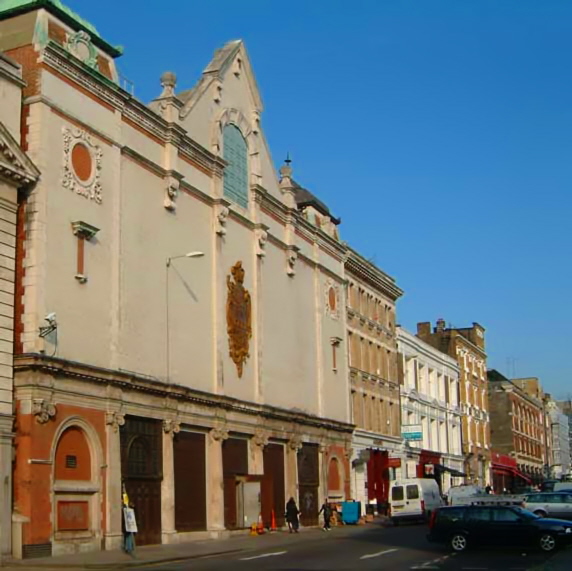
The former Central Cold Store on Charterhouse Street

Coordinates: 51°31′08.76″N 0°06′13.02″W / 51.5191°N 0.1036167°W / 51.5191; -0.1036167 Charterhouse Street is a street in Smithfield, on the northern boundary of the City of London, forming the boundary with both the London Borough of Camden and the London Borough of Islington. It connects Charterhouse Square and Holborn Circus, crossing Farringdon Road and running along a number of historical buildings, including Smithfield Market and the historical headquarters of the Port of London Authority.

Charterhouse Street is famous for its gastropubs that attract local City workers and is a popular venue for clubbers, mostly known for Fabric.

Charterhouse Street is also the home of a 31 MWe Combined Heat and Power plant operated by Citigen (E.ON) and located within and beneath the former headquarters of the Port of London Authority.[1]

See also

References

  1. ^ "[1]" "E.ON CHP Plant" Retrieved 13 November 2010

Wikimedia Foundation. 2010.

Игры ⚽ Нужно решить контрольную?

Look at other dictionaries:

  • Charterhouse Street —    North east from Holborn Circus at No. 10 to 22 Charterhouse Square. The western end is in Farringdon Ward Without, the north eastern portion in the Boroughs of Holborn and Finsbury, outside the City boundary (P.O. Directory).    Formed 1869 75 …   Dictionary of London

  • Charterhouse Square — Charterhouse Hospital in around 1770 …   Wikipedia

  • Charterhouse Lane —    North east out of Charterhouse Street to Charterhouse Square, outside the City boundary (O.S. 1880).    In Horwood it extended further west to St. John Street, Charterhouse Street not being then made.    First mention: 10 Ed. IV. (Anc. Deeds,… …   Dictionary of London

  • Charterhouse Rents —    Rerydosts (open fire hearth (Haliwell), and a hayloft under, dangerous for fire, found in Charterhouse Rents in parish of St. Martin Outwich, and mentioned in a wardmote inquest of Broad Street Ward, 15 H. VIII. 1523 (L. and P. H. VIII. Pt. 2 …   Dictionary of London

  • Hayne Street —    North out of Long Lane, at No. 21, to Charterhouse Square (P.O. Directory).    The southern end is in Farringdon Ward Without, the northern end being outside the City boundary.    First mention: 1871.    Former name : Charterhouse Street… …   Dictionary of London

  • Farringdon Street —    South from Charterhouse Street to Fleet Street at Ludgate Circus (P.O. Directory).    Erected over the Fleet Ditch on the removal of the old Fleet Market 1826 30, the reconstructed market being known as Farringdon Market.    Fleet Ditch has… …   Dictionary of London

  • Lindsey Street —    North out of Long Lane, at No. 23, to Charterhouse Street. The southern end is in Farringdon Ward Without, the northern end outside the City boundary (P.O. Directory).    It lies at the eastern end of Smithfield Market.    It covers the site… …   Dictionary of London

  • Cologne Charterhouse — View over the former Cologne Charterhouse with the Carthusian church (St. Barbara s). To the right are the conventual buildings, while to the left behind the church is the red brick chapter house. In front of the church are the sacristy, the Lady …   Wikipedia

  • Carthusian Street —    West out of Aldersgate Street, at 129, to 2 Charterhouse Square, the southern side in Aldersgate Ward Without, on the northern boundary of the Ward (P.O. Directory).    The northern side of the street is in the Borough of Finsbury.    Built… …   Dictionary of London

  • The Charterhouse —    Between Goswell Road east and St. John Street Clerkenwell, west, outside the bars of Aldersgate Ward Without.    Foundation : Michael de Northburgh, Bishop of London, by his Will left £2000 for the foundation of a House according to the ritual …   Dictionary of London

Share the article and excerpts

Direct link
Do a right-click on the link above
and select “Copy Link”