- Hiwassee River
Infobox River
river_name = Hiwassee River
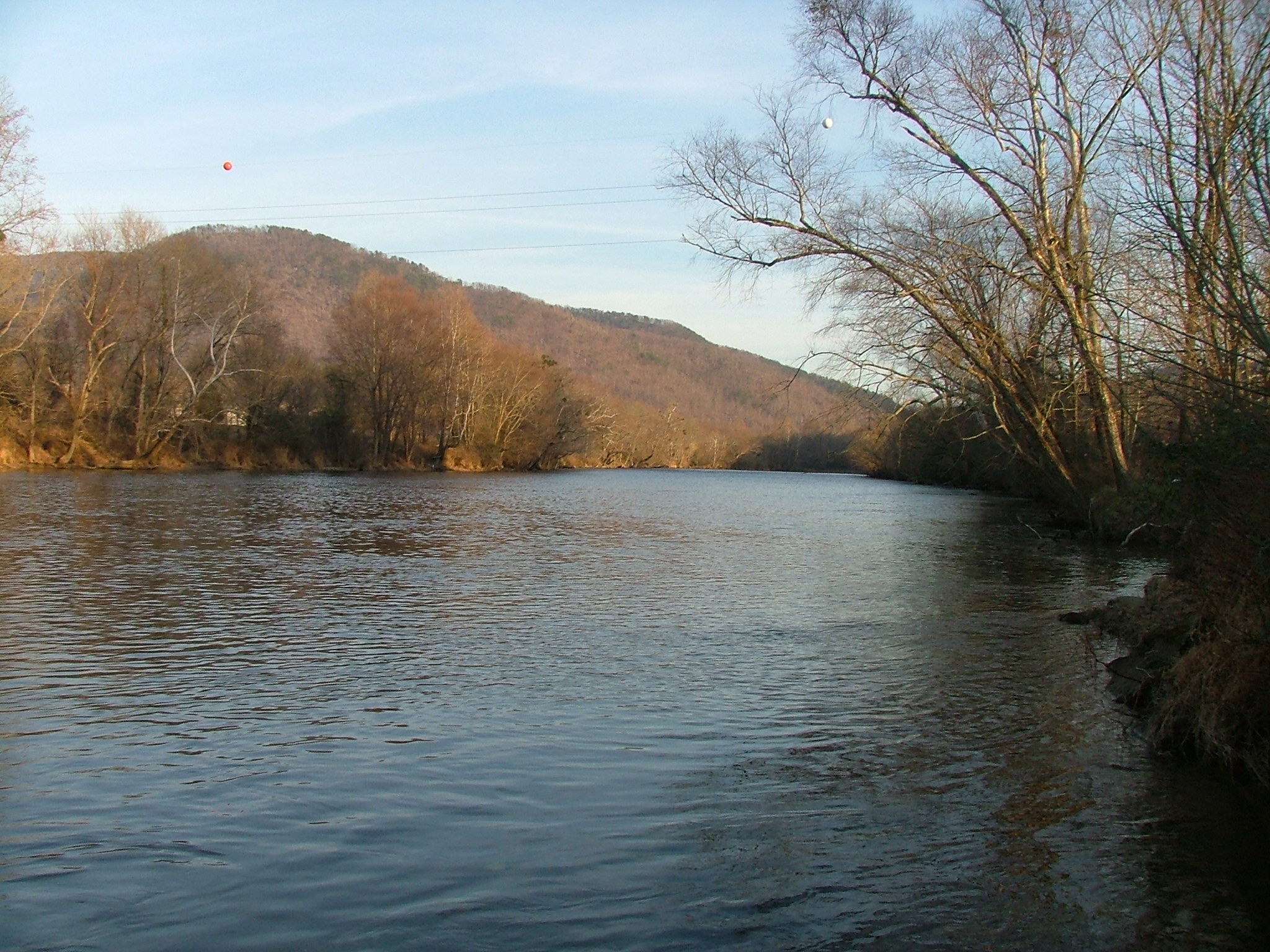
caption = Near the bridge ofU.S. Highway 411 . Gee Knob and Chestnut Mountain on the left side.
origin = North slope of Rocky Mountain inTowns County, Georgia [U.S. Geological Survey. Tray Mountain quadrangle, Georgia. 1:24,000. 7.5 Minute Series. Washington D.C.: USGS, 1985.]
mouth =Tennessee River inMeigs County, Tennessee
basin_countries =USA
length =
elevation =
mouth_elevation = 682 feet (208 m)Gnis|1328447]
discharge =
watershed = The Hiwassee River has its headwaters on the north slope of Rocky Mountain in Towns County in northern Georgia (as the Hiawassee River) and flows northward intoNorth Carolina (there assuming its more common moniker "Hiwassee") before turning westward intoTennessee , flowing into theTennessee River a few miles west of State Route 58 inMeigs County, Tennessee .Geography
The river is dammed by the
Tennessee Valley Authority (TVA) in three locations, all in western North Carolina.Chatuge Dam , Hiwassee Dam, andApalachia Dam were all built in the 1940s. Water is diverted from the streambed at Apalachia Dam and sent through a pipeline which is tunneled through the mountains for eight miles (13 km), then gravity-fed through the Apalachia Powerhouse near Reliance to generate electricity. The stretch of the river that flows between Apalachia Dam and Apalachia Powerhouse features reduced flow and is shadowed by the John Muir Trail in Tennessee'sCherokee National Forest .The 23-mile (37 km) stretch of river that flows from the North Carolina/Tennessee state line to
U.S. Highway 411 near Delano is designated a Class III Partially Developed River and for recreational purposes is managed by theTennessee State Park System as a scenic river, in cooperation with TVA. The river features Class I-Class III rapids, depending on water levels.Trout fishing is very popular along this stretch, and many outfitters are located near the river.After exiting the mountains through a gorge, the Hiwassee flows under US-411 and broadens, meandering through rural Polk and Bradley counties. The river crosses under
U.S. Highway 11 at Calhoun andCharleston, Tennessee , where local industries such asBowater Newsprint Mill and Arch/Olin Chemical use river water in their operations. At this point the river interfaces with the impoundment ofChickamauga Dam (located inChattanooga, Tennessee ), and many marshes and wetlands surround the main channel, providing many areas for hunting and fishing. The Hiwassee passes underInterstate 75 on the border of McMinn and Bradley counties, the site of a 99-vehicle accident in December 1990. Reduced visibility from naturally occurring fog, exacerbated by emissions from the Bowaterpaper mill , contributed to the accident which killed 12 persons and injured 51.The Hiwassee continues westward to pass under TN-58's historic and narrow bridge on its way to the confluence with the Tennessee River a few miles further on. This area of the river is enjoyed by boaters, fishermen, and water skiers.
Major tributaries include Valley River,
Nottely River , Coker Creek, Big Lost Creek, Spring Creek,Conasauga Creek , and Ocoee River.History
The Hiwassee River has been known by many variant names and spellings, including Eufasee, Eufassee, Euphasee, Heia Wassea, Highwassee, Quannessee, and others. Its name comes from the
Cherokee word "Ayuhwasi", which means a meadow or savanna.The Hiwassee River and its tributaries were part of the homeland of the Cherokee before the
Trail of Tears . A town known as "Hiwassee" (Ayuhwasi) was located near the mouth of Peachtree Creek nearMurphy, North Carolina . The Valley River contained many Cherokee towns, sometimes collectively called the "Valley Towns", from today'sAndrews, North Carolina near the headwaters of Valley River to its mouth at Murphy. The Cherokee town known asGreat Hiwassee (Ayuhwasi Egwahi) was located in today's Polk County, Tennessee, where the Hiwassee River emerges from the mountains.An old path known as the Great
Trading Path , the Overhill Trading Path, and the Unicoi Turnpike, ran along much of the Hiwassee River. Another old path known as the Warrior Path ran from southern lands to Great Hiwassee and then upConasauga Creek to the Cherokee town known asGreat Tellico .During the Trail of Tears removal of the Cherokee, many internment camps were built along the Hiwassee River. One of the largest such camps was
Fort Cass near present-day Charleston, Tennessee, on the south bank of the Hiwassee River.As the river passes through downtown Murphy, North Carolina, it flows past a site famous in Cherokee Indian myth, where a legend tells of a house-sized leech that could command the waters and use them to sweep hapless people down to the bottom of the river and consume them. It is known as Tlanusi-yi, "The Leech Place."
External links
* [http://www.hiwassee.us Hiwassee River Basin Web Site]
References
* Mooney, James. "Myths of the Cherokee" (1900, repr. 1995)
* Duncan, Barbara R. and Riggs, Brett H. "Cherokee Heritage Trails Guidebook". University of North Carolina Press: Chapel Hill (2003). ISBN 0-8078-5457-3
Wikimedia Foundation. 2010.