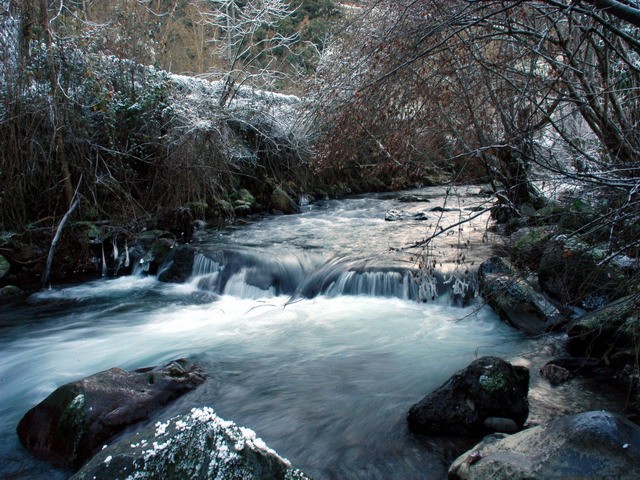
- Deva River
Geobox |River
name = Deva
native_name =
other_name =
other_name1 =

image_size = 250
image_caption = Deva River in Camaleño
country = Spain
country1 =
state = Cantabria
state1 = Asturias
region =
region1 =
district =
district1 =
city =
city1 =
length = 64
watershed = 1195
discharge_location = mouth
discharge = 33.4
discharge_max =
discharge_min =
discharge1_location =
discharge1 =
source_name = Cirque
source_location = Fuente Dé
source_district = Camaleño
source_region =
source_state =
source_country =
source_lat_d =
source_lat_m =
source_lat_s =
source_lat_NS =
source_long_d =
source_long_m =
source_long_s =
source_long_EW =
source_elevation = 1100
source_length =
mouth = Tina Mayor
mouth_location = Bay of Biscay
mouth_district =
mouth_region =
mouth_state =
mouth_country =
mouth_lat_d =
mouth_lat_m =
mouth_lat_s =
mouth_lat_NS =
mouth_long_d =
mouth_long_m =
mouth_long_s =
mouth_long_EW =
mouth_elevation = 0
tributary_left = Urdón
tributary_left1 = Cares
tributary_right = Quiviesa
tributary_right1 = Bullón
free_name =
free_value =
map_size =
map_caption =The Deva is a river in Northern
Spain , flowing through the Autonomous Communities ofCantabria andAsturias until it joins the Cares River and flows into theAtlantic Ocean , in theBay of Biscay , where they form the Tina Mayor estuary which is the natural border betweenAsturias andCantabria .
Wikimedia Foundation. 2010.
