- Fairoaks Airport
Infobox Airport
name = Fairoaks Airport
nativename =
nativename-a =
nativename-r =
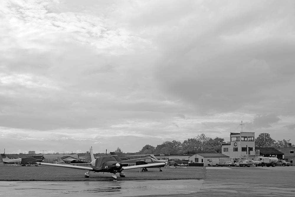
image-width =
caption = Fairoaks Control Tower
IATA = FRK
ICAO = EGTF
type = Private
owner = Alan Mann Group
operator = Fairoaks Airport Ltd.
city-served =Woking
location = Chobham,Surrey
elevation-f = 80
elevation-m = 24
coordinates = Coord|51|20|53|N|000|33|32|W|type:airport|display=inline
website = [http://www.alanmann.co.uk/default.asp www.alanmann.co.uk]
metric-rwy = Y
r1-number = 06/24
r1-length-f = 2,667
r1-length-m = 813
r1-surface =Asphalt
stat-year =
stat1-header =
stat1-data =
stat2-header =
stat2-data =
footnotes = Source: UK AIP at NATSFairoaks Airport Airport codes|FRK|EGTF is a private
airfield on the edge of the village of Chobham, twonautical mile s (3.7 km) north ofWoking ,Surrey . The airport is operated by the Alan Mann Group, owned by Mr Alan Mann and the Greek shipping magnate Niki Papadakis, whose yellow and black shipping line corporate colours are used throughout the airfield.Fairoaks Aerodrome has a CAA Ordinary Licence (Number P560) that allows flights for the public transport of passengers or for flying instruction as authorised by the licensee (Fairoaks Airport Limited) [ [http://www.caa.co.uk/docs/375/srg_asd_ordinarylicences.pdf Civil Aviation Authority Aerodrome Ordinary Licences] ] .
The facility is used as a maintenance base but also hosts many
light aircraft , some of which are operated by its two training schools - Fairoaks Flight Centre and London Transport Flying Club. Its business centre is substantially dedicated to aviation-related enterprises, including the headquarters of national organisations such as theEuropean Regions Airline Association and theBritish Helicopter Advisory Board .Fairoaks is equipped with navigational aids: coverage is provided by local beacons at Ockham,
Midhurst and London Heathrow. There is a small on-site fire and rescue service, comprising two 4WD rescue vehicles.Since 1994, one of the three helicopters of the South East Regional Air Support Unit (Metropolitan and Surrey Police Forces) has been based at Fairoaks. More recently, a new dedicated
Surrey Police helicopter has been based at Fairoaks. There are no restrictions on the number of helicopter movements, although fixed wing movements are limited to 120 thousand per annum.Flying information:Lat N51 20.88 Long W000 33.53 VHF 123.42 AFIS "Fairoaks Information"NDB 348 FOS DME 109.85 FRK VOR 115.3 OCK 307/05
NOTE: All circuit joins must be made from the SOUTH. Usually overhead the Ockham VRP. This might mean flying past the airfield first if arriving from the North.
References
External links
* [http://www.alanmann.co.uk/default.asp Offical site]
* [http://www.egtf.org.uk/ Unoffical site]
Wikimedia Foundation. 2010.