- U.S. Route 340
Infobox U.S. Route
article_route=340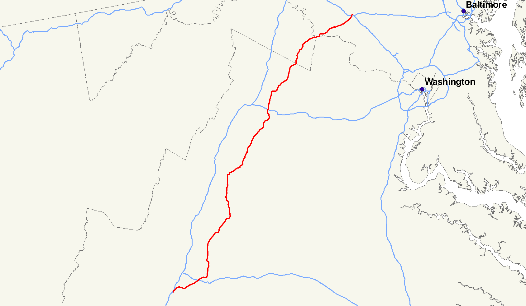
length_mi=156
length_ref=Droz, Robert V. [http://www.us-highways.com/usbt.htm U.S. Highways : From US 1 to (US 830)] . URL accessed 09:24,24 October 2006 (UTC).]
length_round=0
yrcom=1926
direction_a=South
from=Jct|state=VA|US|11 inGreenville, VA
junction=Jct|state=VA|I|64 atWaynesboro, VA
Jct|state=VA|US|250 atWaynesboro, VA
Jct|state=VA|US|33 atElkton, VA
Jct|state=VA|US|211 near New Market andLuray, VA
Jct|state=VA|US|522 atFront Royal, VA
Jct|state=VA|I|66 nearFront Royal, VA
Jct|state=VA|US|522 atDouble Tollgate, VA
Jct|state=VA|US|17|US|50 nearBoyce, VA
Jct|state=MD|US|15 nearJefferson, MD
Jct|state=MD|I|70 atFrederick, MD
direction_b=North
to=Jct|state=MD|US|15|US|40 inFrederick, MD
spur_of=40U.S. Route 340 is a spur of
U.S. Route 40 . It currently runs for 156 miles (251 km) fromFrederick, Maryland atU.S. Highway 40 toGreenville, Virginia atU.S. Highway 11 . It passes through the states ofMaryland ,West Virginia , andVirginia . In West Virginia and Virginia, it is signed north-south. In Maryland it is signed east-west.Route description
Virginia and West Virginia
After crossing the Potomac River, U.S. 340 briefly enters Virginia before entering West Virginia near Harpers Ferry and Charles Town, then re-entering Virginia on the way to its terminus with
U.S. Highway 11 . This stretch of U.S. 340 between Harpers Ferry and Charles Town is designated theWilliam L. Wilson Freeway , although it does not share the same characteristics as a traditionalfreeway and includes traffic lights and at-grade interchanges. The northern entrance to Shenandoah National Park via Skyline Drive is found just south of Front Royal. The short segment in Virginia on the Potomac is called Jefferson Pike. This name carries over into Maryland on MD 180, the road U.S. 340 bypassed. In West Virginia it served as the main business route through Charles Town, but was later placed on a bypass. When it re-enters Virginia, the highway is called Lord Fairfax Highway and is one of the main routes throughBerryville, Virginia .Maryland
South of
Frederick, Maryland U.S. 340 overlapsU.S. Highway 15 for about five miles. The two routes separate north ofJefferson, Maryland , destined for separate crossings of thePotomac River . Continuing in Maryland U.S. 340 is called the Jefferson National Pike.References
###@@@KEYEND@@@###
Wikimedia Foundation. 2010.