- Magerøya
-
Magerøya 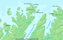
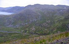
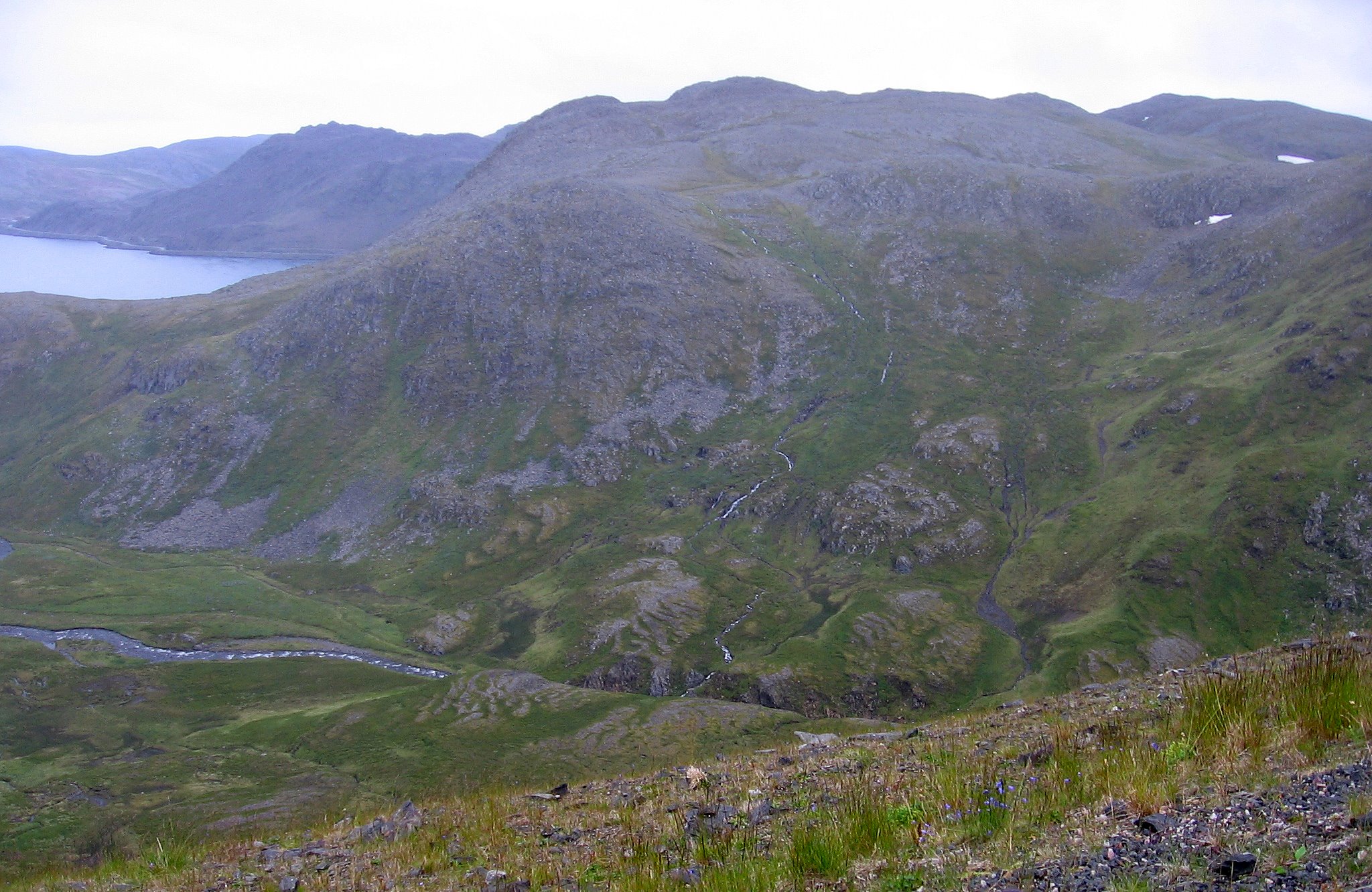
Geography Location North Norway, Europe Coordinates 71°03′02″N 25°41′54″E / 71.05056°N 25.69833°ECoordinates: 71°03′02″N 25°41′54″E / 71.05056°N 25.69833°E Area 436.4 km2 (168.49 sq mi) Highest elevation 417 m (1,368 ft) Highest point Gråkallfjellet Country NorwayCounty Finnmark Demographics Population 4000 (as of 2004) Magerøya is an island in Finnmark county in the extreme north of Norway, in the community of Nordkapp. The island features a bleak, barren tundra-landscape devoid of any trees (except for a few small pockets of mountain birch), with steep cliff faces on the coast and dramatic mountainscapes in the interior. It has an area of 436.6 square kilometres (168.6 sq mi). The highest elevation is 417 meters (1,368 ft) above sea level.
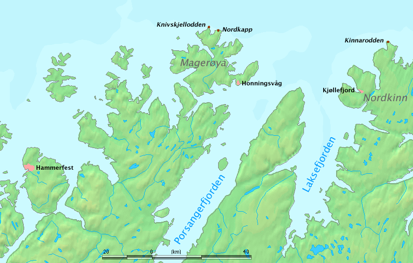
 Nordkapptunnelen entrance
Magerøya's main claim to fame is the North Cape, a steep cliff cape on the northern coast that is a major tourist attraction. To accommodate the large amounts of tourists visiting the island, a subsea tunnel was built from 1993 to 1999. The North Cape Tunnel, which is 6.87 kilometers (4.27 mi) long and reaches a depth of 212 meters (696 ft) below sea level, was for a time one of the longest and of the deepest subsea tunnels in the world. Fog or ice may occur inside the tunnel, even in summer.
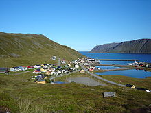
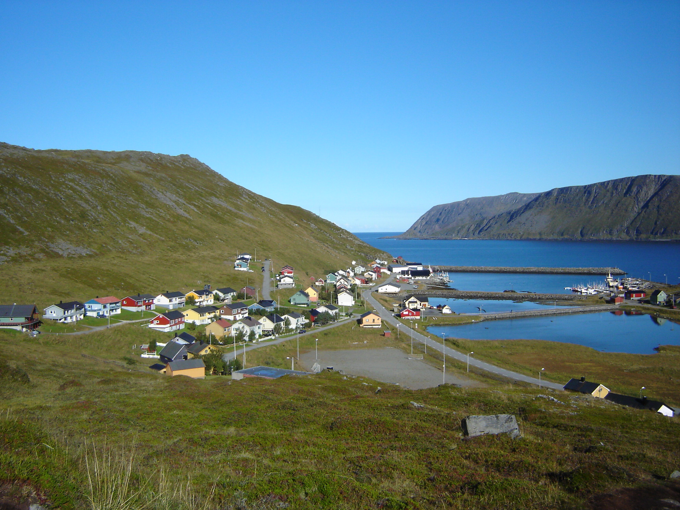
Norway's Hurtigruten ferry service touches Magerøya at Honningsvåg; the waters around the island remain ice-free year round due to the warm North Atlantic drift.
Categories:- Islands of Finnmark
- Islands of the Barents Sea

Wikimedia Foundation. 2010.