- Mount Sundoro
-
Mount Sindara 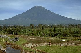
Elevation 3,136 m (10,289 ft) [1] Listing Ultra
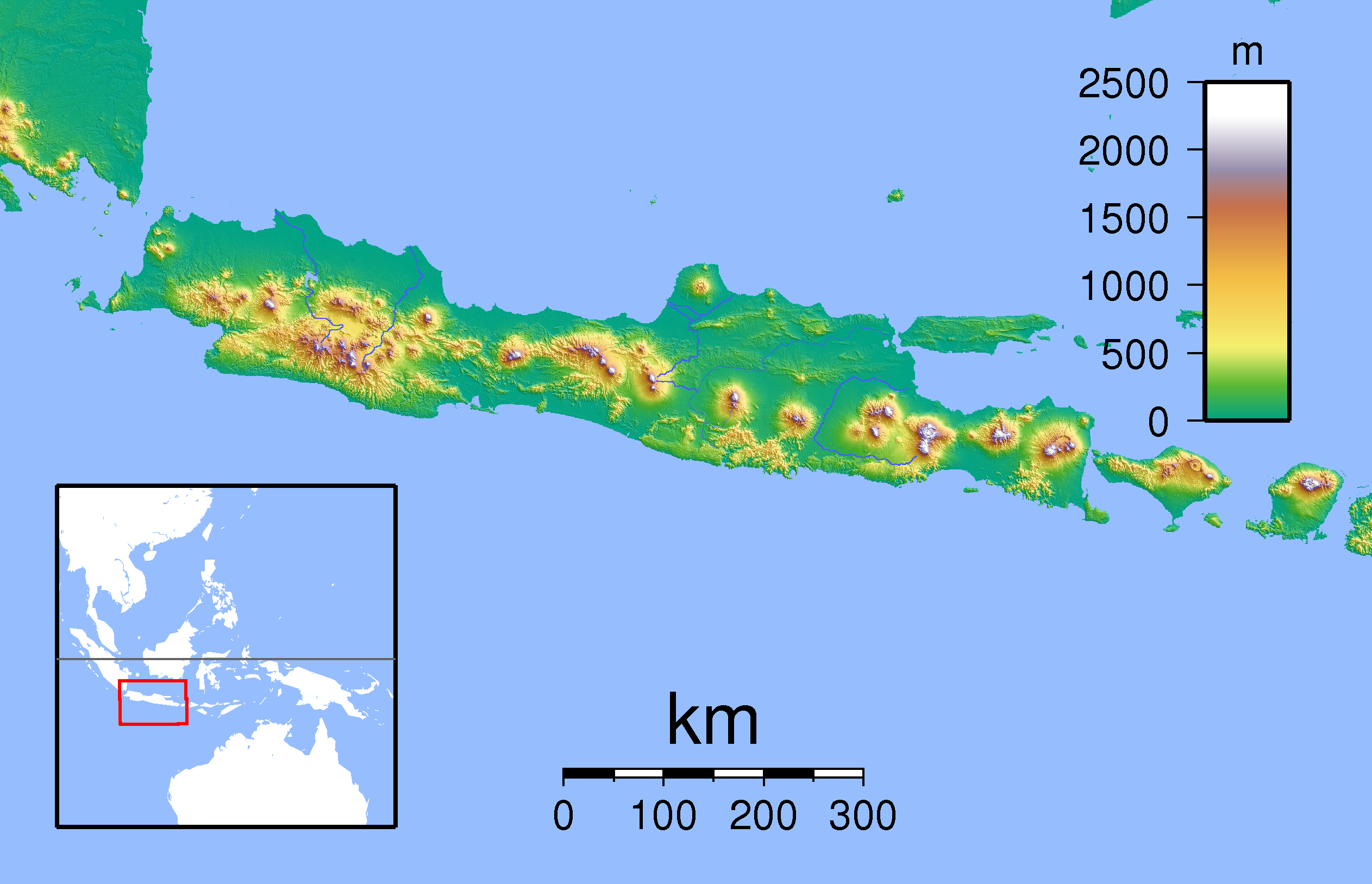
RibuLocation Location in Java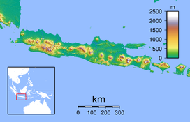
 Sindoro
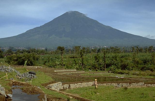
Location Java, Indonesia Coordinates 7°30′S 109°59′E / 7.5°S 109.983°ECoordinates: 7°30′S 109°59′E / 7.5°S 109.983°E Geology Type Stratovolcano Last eruption 1971 Climbing Easiest route Gubugklakah, Burno Mount Sindara, Mount Sindoro or Mount Sundoro is an active stratovolcano in Central Java, Indonesia. Parasitic craters and cones are found in the northwest-southern flanks; the largest is called Kembang. A small lava dome occupies the volcano's summit. Historical eruptions mostly mild-to-moderate phreatic eruptions had occurred.[1]
See also
References
- ^ a b "Sundoro". Global Volcanism Program. Smithsonian Institution. http://www.volcano.si.edu/world/volcano.cfm?vnum=0603-21=. Retrieved 2006-12-26.
Categories:- Stratovolcanoes
- Mountains of Indonesia
- Volcanoes of Java
- Geography of Central Java
- Active volcanoes of Indonesia
- Java geography stubs
Wikimedia Foundation. 2010.