Mashpee River

Mashpee River
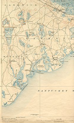
Map of Mashpee River and environs

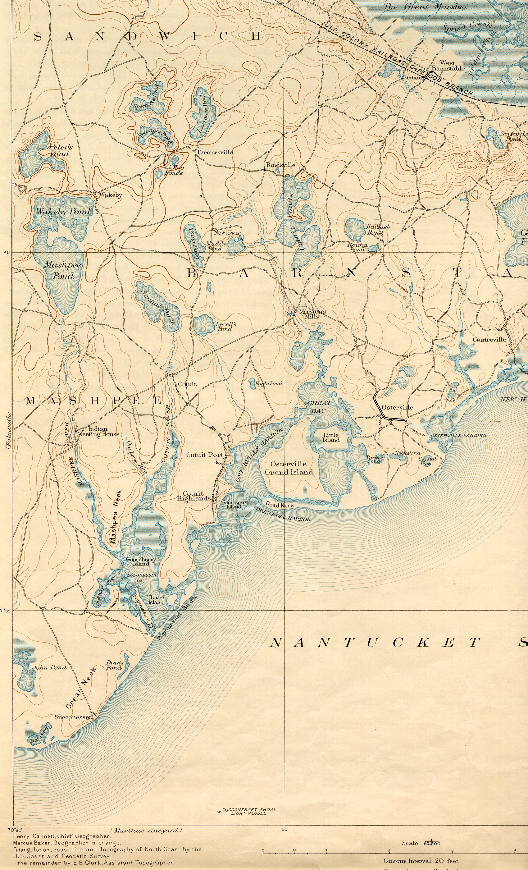
The Mashpee River is a 4.8-mile-long (7.7 km)[1] tidal river on Cape Cod in Mashpee, Massachusetts.

The river arises in Mashpee and Wakeby Ponds, flows south a short distance, and drains into Pirate's Cove on Popponesset Bay on the Nantucket Sound. Conservation efforts began in 1915 or earlier, and much of the surrounding region is now part of the Mashpee River Reservation owned and conserved by the nonprofit Trustees of Reservations.

References

  1. ^ U.S. Geological Survey. National Hydrography Dataset high-resolution flowline data. The National Map, accessed April 1, 2011


Wikimedia Foundation. 2010.

Игры ⚽ Поможем решить контрольную работу

Look at other dictionaries:

  • Mashpee River Reservation — is a park in Mashpee, Massachusetts on the Mashpee River. The Trustees of Reservations owns and maintains the park. Pristine shoreline, natural spawning areas, and excellent water quality make the Mashpee River one of Massachusetts finest sources …   Wikipedia

  • Mashpee National Wildlife Refuge — IUCN Category IV (Habitat/Species Management Area) …   Wikipedia

  • Mashpee and Wakeby Ponds — Map of Mashpee and Wakeby Ponds Mashpee Pond 41°39′40″N 70°29′08″W /  …   Wikipedia

  • Mashpee, Massachusetts —   Town   Mashpee Town Hall …   Wikipedia

  • Mystic River — For other uses, see Mystic River (disambiguation). Mystic River River …   Wikipedia

  • Neponset River — with Granite Avenue in background Basin countries United States Length 29 mi (47 …   Wikipedia

  • Nashua River Rail Trail — The Nashua River Rail Trail at the Groton School Pond in Groton, MA The Nashua River Rail Trail is a 12.5 mile (20.1 km) paved mixed use rail trail in northern Massachusetts and southern New Hampshire under control of the Massachusetts… …   Wikipedia

  • Charles River Reservation — Charles River Basin Historic District U.S. National Register of Historic Places U.S. Historic district …   Wikipedia

  • Connecticut River Greenway State Park — consists of a number of separate state land holdings in the Pioneer Valley of western Massachusetts. The park includes critical wildlife and plant habitat as well as areas providing public access to the Connecticut River. The Department of… …   Wikipedia

  • Charles River Peninsula — The Charles River Peninsula is a 30 acre (12 ha) nature preserve in Needham, Massachusetts owned and managed by the Trustees of Reservations. The Charles River turns nearly 180 degrees, creating the peninsula. A 20 acre (8 ha)… …   Wikipedia

Share the article and excerpts

Direct link
Do a right-click on the link above
and select “Copy Link”