- Pritchard, British Columbia
Infobox Settlement
official_name = Community of Pritchard
other_name =
native_name =
nickname =
settlement_type = Community
motto =
imagesize =
image_caption =
flag_size =
image_
seal_size =
image_shield =
shield_size =
city_logo =
citylogo_size =
mapsize =
map_caption =
image_dot_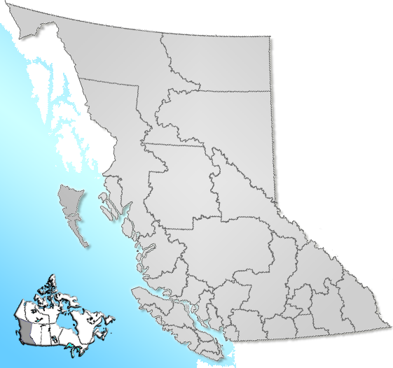
dot_mapsize =
dot_map_caption = Location of Pritchard inBritish Columbia
dot_x =122 |dot_y =134
pushpin_
pushpin_label_position =
pushpin_map_caption =
pushpin_mapsize =
subdivision_type = Country
subdivision_name = CAN
subdivision_type1 = Province
subdivision_name1 = BC
subdivision_type2 = Region
subdivision_name2 =Kootenays
subdivision_type3 = Regional district
subdivision_name3 = Thompson-Nicola
subdivision_type4 =
subdivision_name4 =
government_footnotes =
government_type =
leader_title =
leader_name =
leader_title1 =
leader_name1 =
leader_title2 =
leader_name2 =
leader_title3 =
leader_name3 =
leader_title4 =
leader_name4 =
established_title =
established_date =
established_title2 = Incorporated
established_date2 = Unincorporated
established_title3 =
established_date3 =
area_magnitude =
unit_pref =
area_footnotes =
area_total_km2 = 13.05
area_land_km2 =
area_water_km2 =
area_total_sq_mi =
area_land_sq_mi =
area_water_sq_mi =
area_water_percent =
area_urban_km2 =
area_urban_sq_mi =
area_metro_km2 =
area_metro_sq_mi =
area_blank1_title =
area_blank1_km2 =
area_blank1_sq_mi =
population_as_of = 2001
population_footnotes =
population_note =
population_total = 2061
population_density_km2 =
population_density_sq_mi =
population_metro =
population_density_metro_km2 =
population_density_metro_sq_mi =
population_urban =
population_density_urban_km2 =
population_density_urban_sq_mi =
population_blank1_title =
population_blank1 =
population_density_blank1_km2 =
population_density_blank1_sq_mi =
timezone = PST
utc_offset = -8
timezone_DST =
utc_offset_DST =
latd= 50|latm= 41|lats= 11|latNS=N
longd= 119|longm= 49|longs= 8|longEW=W
elevation_footnotes =
elevation_m = 360
elevation_ft =
postal_code_type = Postal code span
postal_code = V0E 2P0
area_code =
blank_name = Highways
blank_info = 1
blank1_name = Waterways
blank1_info = South Thompson River
website =
footnotes = Pritchard is a small community located in the interior ofBritish Columbia ,Canada . It has a population of roughly 2,000, and its main industries arefarming andtourism . Pritchard is located on TheTrans-Canada Highway (HWY 1) betweenKamloops, British Columbia andChase, British Columbia , near the Hwy 97 - Hwy 1 Intersection.References
External links
Wikimedia Foundation. 2010.