- Bathurst Island
Infobox Islands
name = Bathurst Island
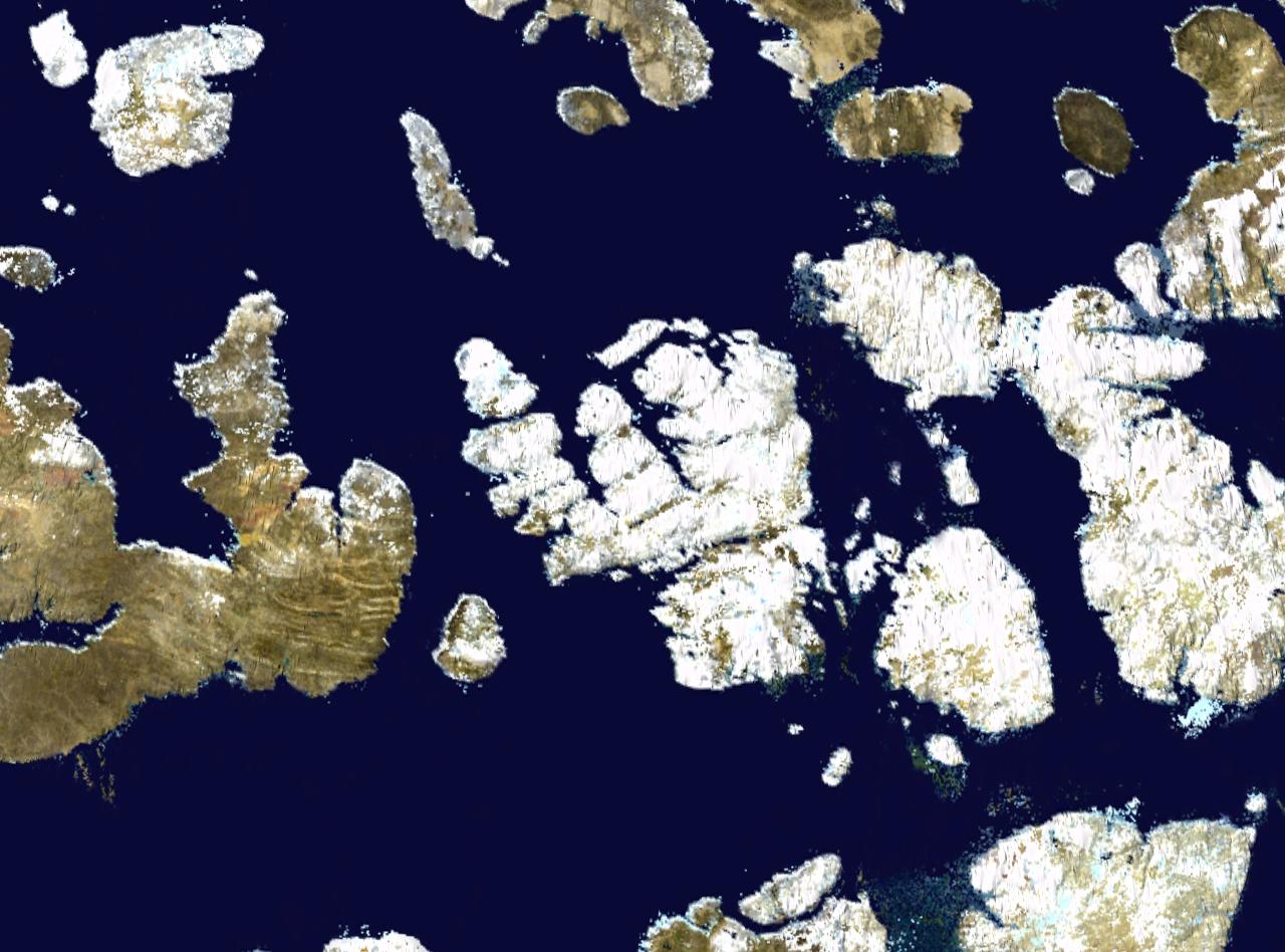
image caption = Satellite photo montage of Bathurst Island and its neighbours
image size =
locator
map_custom = no
native name =
native name link = Inuktikut
nickname =
location =Northern Canada
coordinates = coord|75|46|N|99|47|W|display=inline,title
archipelago =Queen Elizabeth Islands Canadian Arctic Archipelago
total islands =
major islands =
area = 16,042 km²
rank = 54th
highest mount =
elevation =
country = Canada
country admin divisions title = Territory
country admin divisions = flag|Nunavut
country admin divisions title 1 =Qikiqtaaluk Region
country admin divisions 1 =
country admin divisions title 2 =
country admin divisions 2 =
country capital city =
country largest city =
country largest city population =
country leader title =
country leader name =
population = Uninhabited
population as of =
density =
ethnic groups =
additional info =A member of the
Canadian Arctic Archipelago , Bathurst Island is one of theQueen Elizabeth Islands inNunavut Territory,Canada . The area of the island is estimated at 16,042 km², making it the 54th largest island in the world and Canada's 13th largest island. It is uninhabited.Brooman Point Village [cite encyclopedia |url=http://www.thecanadianencyclopedia.com/index.cfm?PgNm=TCE&Params=A1ARTA0001033 |title=Brooman Point Village |author=Robert McGhee |publisher=thecanadianencyclopedia.com |accessdate=2007-11-09] on the eastern coast of Bathurst Island was the site of Thule native tribes around 1000 AD, conceivably during a warmerclimate episode. Bathurst Island became known to Western explorers through its discovery by Sir William Parry in 1819 and was named forHenry Bathurst, 3rd Earl Bathurst , BritishSecretary of State for War and the Colonies 1812-1827.The island is low-lying with few parts higher than Unit m|330|0 in elevation. The highest point is Unit m|412|0 at
Stokes Mountain in theStokes Range . This in turn form part of theArctic Cordillera mountain system. Good soil conditions produce abundant vegetation and support a more prolific wildlife population than other Arctic islands.The island contains the
Polar Bear Pass National Wildlife Area, and the area of the proposedTuktusiuqvialuk National Park .The Earth's North Magnetic Pole tracked northwards across Bathurst Island during the 1960s and 1970s.
References
Further reading
* Anglin, Carolyn Diane, and John Christopher Harrison. "Mineral and Energy Resource Assessment of Bathurst Island Area, Nunavut Parts of NTS 68G, 68H, 69B and 79A". [Ottawa] : Geological Survey of Canada, 1999.
* Blake, Weston. "Preliminary Account of the Glacial History of Bathurst Island, Arctic Archipelago". Ottawa: Department of Mines and Technical Surveys, 1964.
* Danks, H. V. "Arthropods of Polar Bear Pass, Bathurst Island, Arctic Canada". Syllogeus, no. 25. Ottawa: National Museum of Natural Sciences, National Museums of Canada, 1980.
* Freeman, Milton M. R., and Linda M. Hackman. "Bathurst Island NWT A Test Case of Canada's Northern Policy". Canadian Public Policy, Vol.1,No.3, Summer. 1975.
* Givelet, N, F Roos-Barraclough, M E Goodsite, and W Shotyk. 2003. "A 6,000-Years Record of Atmospheric Mercury Accumulation in the High Arctic from Peat Deposits on Bathurst Island, Nunavut, Canada". "Journal De Physique. IV, Colloque : JP". 107: 545.
* Hueber, F. M. "Early Devonian Plants from Bathurst Island, District of Franklin". Ottawa: Energy, Mines and Resources Canada, 1971.
* Kerr, J. William. "Geology of Bathurst Island Group and Byam Martin Island, Arctic Canada (Operation Bathurst Island)". Ottawa: Dept. of Energy, Mines and Resources, 1974.
* F.F. Slaney & Company. "Peary Caribou and Muskoxen and Panarctic's Seismic Operations on Bathurst Island, N.W.T". 1974. Vancouver: F.F. Slaney & Co. Ltd, 1975.
* Taylor, William Ewart, and Robert McGhee. "Deblicquy, a Thule Culture Site on Bathurst Island, N.W.T., Canada". Mercury series. Ottawa: National Museums of Canada, 1981.

Wikimedia Foundation. 2010.