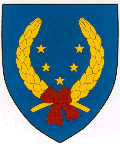
- Tyrawa Wołoska
Infobox City
settlement_type = Town
subdivision_type = Country
official_name = Tyrawa Woloska| native_name = Tyrawa Wołoska| subdivision_name = Poland
image_
subdivision_type1 = Region
subdivision_name1 =Subcarpathian Voivodship
population_total = 1950
area_total_km2 = 68.8
elevation_m = 340
established_date = 1402
established_title =Founded | code = 38535
latd =
latm =
latNS =
longd =
longm =
longEW =
website =Tyrawa Wołoska, ("Tyravia minori", "Thyrawa Walaska"). A village in East Małopolska in the Lesser Beskid mountains of
Poland .The community is about 40 miles from
Rzeszów , in south-eastern Poland. It is situated below the main watershed, at the foot of the Słonne Mountain, and has an elevation of 340 metres. It lies in a wooded, hilly area on the Nr. DK28 highway that goes fromPrzemyśl toSanok .It belongs to theSubcarpathian Voivodship (since 1999), previously theKrosno Voivodship (1975-1998) and is part of theSanok district (10 miles east of Sanok); itsparish : Tyrawa Woloska.Settled in prehistoric times, the south-eastern Poland region that is now
Podkarpacie was overrun in pre-Roman times by various tribes, including theCelts ,Goths andVandals (the Przeworsk and Puchov cultures). After the fall of the Roman Empire, of which most of south-eastern Poland was part of (all territories below the San), the area was invaded by Hungarians andSlavs .The region subsequently became part of the
Great Moravia n state. Upon the invasion of the Hungarian tribes into the heart of theGreat Moravia around 899, theLendians of the area declared their allegiance to theHungarian Empire . The region then became a site of contention between Poland, Rus andHungary .This area was mentioned for the first time in 981, when
Volodymyr the Great ofKievan Rus took it over on his way into Poland. In 1018 it returned to Poland, in 1031 back to Rus, and in 1340Casimir III of Poland recovered it.The village "Tyravia" was first mentioned in 1402. The etymology is doubtful. It was founded on the principles of the "
Wallachia n Rights" whereas its ownership was passed over to the knights and family ofVogt Peter (Petrus) the Czech.From 1340-1772 Tyrawa was part of Poland (
Ruthenian Voivodeship ), while during 1772-1867 it belonged to theAustria n empire, and from 1867-1918 to theAustro-Hungarian empire. During the 120 years that this part of Poland was controlled by Austria, the area (including west and east ofSubcarpathian Voivodship ) was known as Galicia. In 1918 it returned to Poland.The region was under the
Magdeburg rights since 1707. The town was situated beside an often attended trade route to Hungary which guaranteed good opportunities for development, but as time passed the town started to decline, and by 1876 it had lost municipal rights.In the immediate years after WWII (1945, 1946) some inhabitants left for the Ukraine. On
29 April 1946 the village was attacked by a unit of UPA and some buildings were burnt. As a result, some people left Tyrawa (under the "Akcja Wisla ") and moved to thePomerania area of Poland.Only over a dozen years after the war the village started to rebuild.The rural families in this community are poor, as agriculture is rarely profitable and low income makes it difficult to reinvest and make improvements.
Population
* 1880 - 318
Rusyns , 50Poles , 33Jews
* 1936 - 800 Poles, 600 Rusyns, 380 Jews
* 2001 - 1950 PolesPersonalia
*
Jacob Avigdor References
* Fastnacht, Adam. Slownik Historyczno-Geograficzny Ziemi Sanockiej w Średniowieczu (Historic-Geographic Dictionary of the Sanok District in the Middle Ages), Kraków, 2002, ISBN 83-88385-14-3.
Wikimedia Foundation. 2010.
