- Khatanga Airport
Infobox Airport
name = Khatanga
nativename =
nativename-a =
nativename-r =
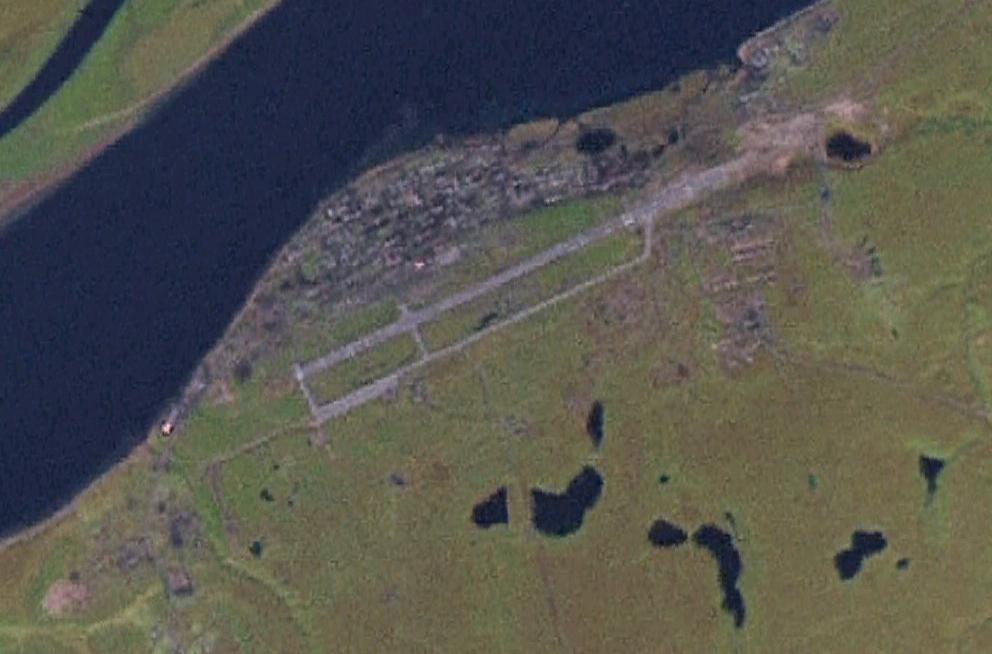
image-width =
caption =
IATA = HTG
ICAO = UOHH
type = Public
owner =
operator =
city-served =
location = Khatanga (village)
elevation-f = 98
elevation-m = 30
coordinates = Coord|71|58|6|N|102|29|12|E|type:airport|display=inline,title
website =
metric-elev =
metric-rwy =
r1-number = 06/24
r1-length-f = 8953
r1-length-m = 2729
r1-surface =Concrete
stat-year =
stat1-header =
stat1-data =
stat2-header =
stat2-data =
footnotes =Khatanga Airport airport codes|HTG|UOHH is an airport in
Krasnoyarsk Krai ,Russia located 1 km southeast of Khatanga. It is a major airfield servicing medium-sized airliners. Interceptor aircraft were based here in the 1970s, and the airfield may have been home to deployments fromBratsk . Today it serves as a hub forNorth Pole tourist expeditions viaSredny Ostrov , however the Arctic regions still remain sensitive military zones and Khatanga is the first stop requiring entry permission from Federal Security Service border guards.One of its uses is as a diversion airport if a twin-engine airliner experiences engine problems while flying over Siberia; however the airport is only equipped for landings during good weather.
Wikimedia Foundation. 2010.