- Riverdale Road Covered Bridge
Infobox U.S. Covered Bridge
bridge=Riverdale Road Bridge_Covered_Bridge_1.jpg)
image_size=260px
bridge_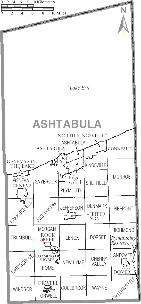
bridge_map_size=250px
state=Ohio
county=Ashtabula County
length=140
truss=single span,Town truss
built=1874
renovated=1981
builder=Riverdale Road Bridge is a
covered bridge spanning the Grand River in Morgan Township, Ashtabula County,Ohio ,United States . The bridge, one of currently 15 drivable bridges in the county, is a single spanTown truss design. During its renovation in 1981, the floor was rebuilt and glue-laminated wood girders were added. Previously, center steel bracing had been replaced under the bridge in 1945. In 1987, a new concrete abutment for additional support was added after the road at the east end of the bridge washed outhttp://www.coveredbridgefestival.org/bridges.htm Ashtabula County Ohio Covered Bridge Festival] . The bridge’s WGCB number is 35-04-22 [http://www.dalejtravis.com/bridge/ohio/htm/3500422.htm Ohio Covered Bridges List, 35-04-22] , and it is located at coor dms|41|40|23.808|N|80|52|18.66|W|city (41.67328, 80.87185)http://mapper.acme.com/?ll=41.67328,-80.87185&z=14&t=H ACME Mapper 2.0] approximately 1.1 mi (1.7km ) north-northwest of Rock Creek.Directions to bridge
*From Interstate 90 exit 223, head south on State Route 45 approximately 7.9 miles.
*Turn right (west) on Riverdale Road (T-69) and continue 0.8 miles to the bridge [http://local.live.com/default.aspx?v=2&cp=41.730022~-80.861824&style=r&lvl=11&tilt=-90&dir=0&alt=-1000&rtp=pos.qyy19q87vwn7_Origin~pos.qybzx787tmjg_Destination Windows Live Local] .History
*1874 – Bridge constructed.
*1945 – Center steel bracing replaced.
*1981 – Bridge renovated.
*1987 – Concrete abutment added at west end after road washed out.Dimensions
*Span: 111 feet (33.8 m)
*Length: 140 feet (42.7 m)
*Width: 12 feet 6 inches (3.8 m)
*Height: 10 feet 6 inches (3.2 m)
*Overhead clearance: 9 feet 6 inches (2.9 m)Gallery
ee also
*
List of Ashtabula County covered bridges References
External links
*Geolinks-US-streetscale|41.67328|-80.87185
* [http://www.dalejtravis.com/cblist/cboh.htm Ohio Covered Bridges List]
* [http://members.aol.com/jreinhl/index.htm Ohio Covered Bridge Homepage]
* [http://members.aol.com/jreinhl/maps/numbers.htm The Covered Bridge Numbering System]
* [http://oldohiobridges.com/ohba.htm Ohio Historic Bridge Association]
* [http://www.dot.state.oh.us/se/coveredbridges/ashtabula/ah0422f.htm Riverdale Road Covered Bridge] from [http://www.dot.state.oh.us/se/coveredbridges/#ODOT Ohio Covered Bridges, Historic Bridges]
Wikimedia Foundation. 2010.