- Northrepps Aerodrome
-
Northrepps Aerodrome 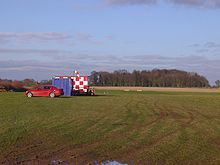
Northrepps Aerodrome January 2008 IATA: none – ICAO: none Summary Airport type Private Operator C.Gurney Esq. Location Cromer Elevation AMSL 190 ft / 58 m Coordinates 52°53′34″N 001°19′10″E / 52.89278°N 1.31944°ECoordinates: 52°53′34″N 001°19′10″E / 52.89278°N 1.31944°E Website Map Location in Norfolk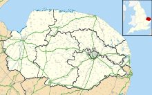
 Northrepps Aerodrome
Runways Direction Length Surface m ft 15/33 385 1,263 Grass 04/22 615 2,018 Grass Northrepps Aerodrome is a privately owned airfield south west of the village of Northrepps, North Norfolk, England approximately 3 mi (4.8 km) south south east of Cromer[1]. It is located next to the A149 road close to its junction with the A 140.
Contents
History
Northrepps Aerodrome opened in October 2007 following the closure of Northrepps International Airport, which was located just 1 km (0.62 mi) north west of the current aerodrome. Northrepps International Airport had just one runway (18/36) with a pronounced downslope on the southerly runway, which meant that aircraft generally took off on runway 18 and landed on runway 36 regardless of wind direction. This unusual arrangement has been the cause of some accidents, with aircraft sometimes overshooting the runway.[2][3][4]
Airfield operations
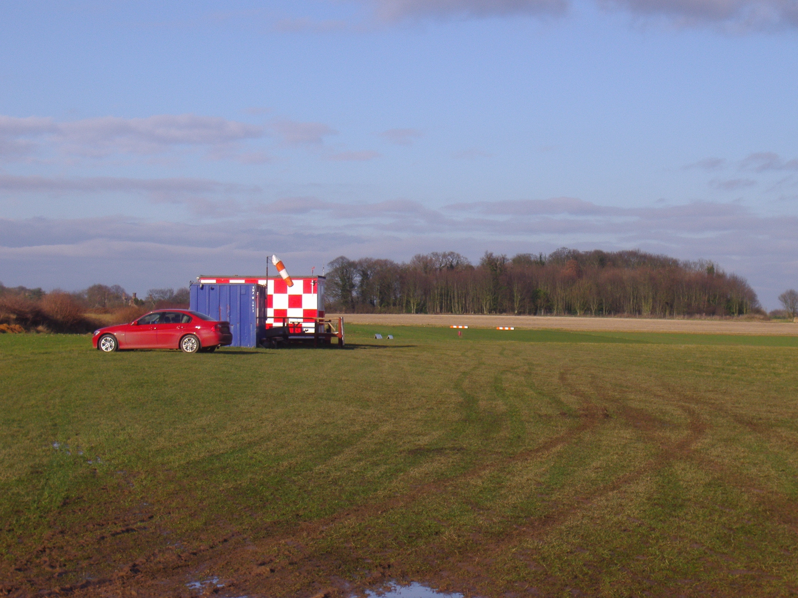
 Terminal building at the old Northrepps International Airport
The aerodrome is an unlicensed airfield, but light aircraft and helicopters are more than welcome to land, but with prior permission, and at the pilot’s own risk. There are several Helicopter Main Routes running close to Northrepps, (1,500 ft (460 m) - FL60) runs north-west to south-east to the north of the airfield and HMR 7 (Helicopter Main Route) crossing the northern boundary of the airfield. There is also military and civil low level flying in the vicinity seven days a week. All aircraft should contact Coltishall Zone during their hours of operation (closure imminent), otherwise Norwich approaches. Lower Airspace Radar Service available from Coltishall. F/S and alerting service available from Coltishall or Anglia Radar. Circuits at 600 feet (180 m) above aerodrome level – left-hand for fixed wing and right-hand for helicopters.
Other activities
There is microlight activity at the airfield 7 days a week, and occasionally crop spraying is carried out from Northrepps. Banner towing at some times of the year and on some weekdays model aircraft are flown.
References
- ^ Ordnance Survey, Explorer Sheet 252, Norfolk Coast East, ISBN 9780319467268
- ^ "Accident report: Cessna 421C Golden Eagle, N421CA" (PDF). Air Accidents Investigation Branch. June 2006. http://www.aaib.dft.gov.uk/cms_resources/Cessna%20421C%20Golden%20Eagle,%20N421CA%2006-06.pdf. Retrieved 2007-11-17.
- ^ "Accident report: Piper PA-28-180 Cherokee, G-AWET" (PDF). Air Accidents Investigation Branch. January 2006. http://www.aaib.dft.gov.uk/cms_resources/G-AWET%201-06.pdf. Retrieved 2007-11-17.
- ^ "Northrepps Airport shut after two runway incidents". UK Airport News. 14 October 2005. http://www.uk-airport-news.info/northrepps-airport-news-141005.htm. Retrieved 2007-11-16.
External links
Categories:- North Norfolk
- Airports in England
- Transport in Norfolk


Wikimedia Foundation. 2010.