- Kordíky
Geobox | Settlement
name = Kordíky
native_name =
other_name =
category = Village
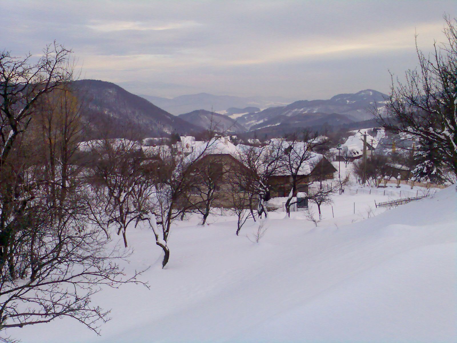
image_caption = Kordíky in winter
symbol =
etymology =
official_name =
motto =
nickname =
country = Slovakia
country_
state =
region = Banská Bystrica
district = Banská Bystrica
municipality =
part =
river =
location =
elevation = 849
lat_d = 48
lat_m = 46
lat_NS = N
long_d = 19
long_m = 02
long_EW = E
coordinates_type = region:SK_type:city
highest =
highest_elevation =
highest_lat_d =
highest_long_d =
lowest =
lowest_elevation =
lowest_lat_d =
lowest_long_d =
area = 9.97
area_round = 2
population = 301
population_date = 2008-1-1
population_density = auto
established =1690
established_type = First mentioned
mayor =
timezone =
timezone_DST =
postal_code = 976 34
area_code = +421-48
code = BB
code_type = Car plate
free =

map_background = Slovakia - background map.png
map_locator = Slovakia
commons =
statistics = [http://www.statistics.sk/mosmis/eng/prvav2.jsp?txtUroven430601&lstObec508713&Okruhzaklad MOŠ/MIS]
website = [http://www.kordiky.webpark.sk www.kordiky.webpark.sk]
footnotes =Kordíky is a
village andmunicipality inBanská Bystrica District in theBanská Bystrica Region of centralSlovakia .History
In historical records the village was first mentioned in
1690 .Geography
The municipality lies at an
altitude of 849metres and covers anarea of 9.973km². It has apopulation of about 281 people.External links


Wikimedia Foundation. 2010.