Five Mile River (Quaboag River)
- Five Mile River (Quaboag River)
Infobox River | river_name = Five Mile River
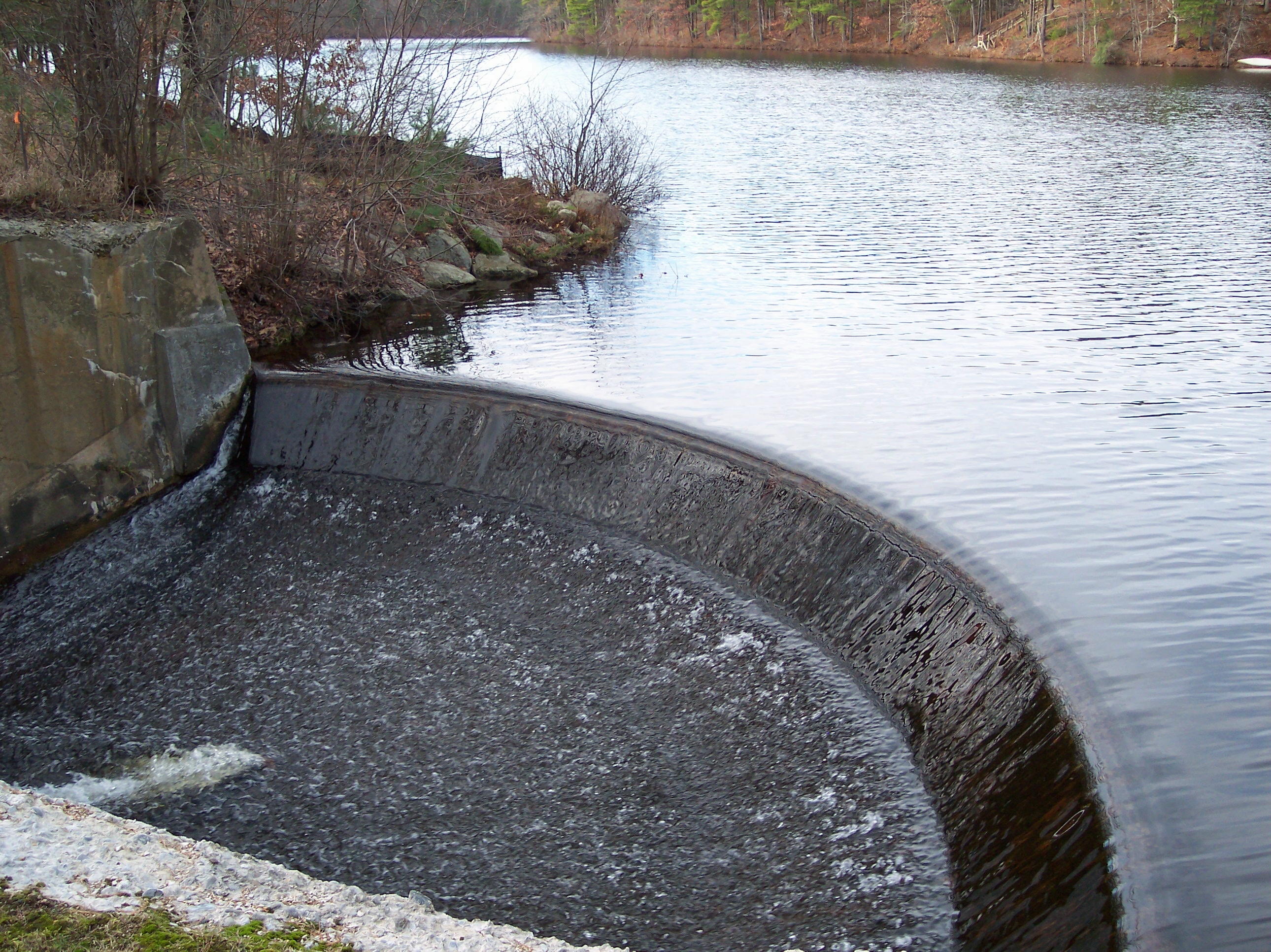
caption = File Mile River head at Brooks Pond
origin = Brooks Pond
mouth = Lake Lashaway
basin_countries =
length = 3.5 mi (5.63 km)
elevation = 660 ft (201.17 m)
mouth_elevation = 615 ft (187 m)
discharge = 5.5 ft³/s (0.155 m³/s)
watershed = 13.8 mi² (37.74 km²)The Five Mile River heads at Brooks Pond in Massachusetts, 2.5 mi (4.02 km) northeast of North Brookfield, flows approximately south, then mouths at the north end of Lake Lashaway, also in North Brookfield.
Information
The Five Mile River is a short river that connects Brooks Pond and Lake Lashaway, both in the township of North Brookfield. This river is a tributary to the Quaboag River and is part of the Chicopee River Watershed. A portion of this river forms the boundary of North Brookfield and Oakham, Massachusetts. It's been harnessed as a source of power for saw and grist mills and colonial foundry according to historical documentation. The proximity to iron ore, power from Brooks pond (previously known as Johnson's Pond), to power an air blast bellows, and nearby abundance of wood (for charcoal), made five mile river a good location for blast furnace and iron works operated by Jonathan and Nicholas Jenkes in 1782. "Two Gilberts joined the enterprise and still later the venture was split in two--two furnaces, two forges etc.-each family operating one."
The five Mile River is also fed by the outflow from the Kittredge Dam Reservoir and the Horse Pond Brook Reservoir as well as drainage from the wetlands area extending from Brooks Pond to the north and Lake Lashaway to the south. This watershed is approximately fourteen square miles in addition to the Brooks Pond watershed.
Coordinates
coord|42|17|41|N|72|02|17|W Head
coord|42|14|47|N|72|03|34|W Mouth
References
http://pubs.usgs.gov/wri/wri994006/wrir99-4006.pdf
Wikimedia Foundation.
2010.
Look at other dictionaries:
Quaboag Pond — Infobox lake lake name = Quaboag Pond image lake = QuaboagPond Air 2006.jpg caption lake = image bathymetry = caption bathymetry = location = Massachusetts coords = coord|42|11|14|N|72|04|05|W|type:waterbody region:US MA|display=inline,title type … Wikipedia
Mystic River Reservation — The Mystic River Reservation is a publicly owned nature preserve located along the Mystic River in Massachusetts, United States. It forms part of the 75 square mile (190 km2) Mystic River Watershed, and runs through the towns of Arlington,… … Wikipedia
Connecticut River Greenway State Park — consists of a number of separate state land holdings in the Pioneer Valley of western Massachusetts. The park includes critical wildlife and plant habitat as well as areas providing public access to the Connecticut River. The Department of… … Wikipedia
Mashpee River Reservation — is a park in Mashpee, Massachusetts on the Mashpee River. The Trustees of Reservations owns and maintains the park. Pristine shoreline, natural spawning areas, and excellent water quality make the Mashpee River one of Massachusetts finest sources … Wikipedia
Charles River Reservation — Charles River Basin Historic District U.S. National Register of Historic Places U.S. Historic district … Wikipedia
Mystic River — For other uses, see Mystic River (disambiguation). Mystic River River … Wikipedia
Nashua River Rail Trail — The Nashua River Rail Trail at the Groton School Pond in Groton, MA The Nashua River Rail Trail is a 12.5 mile (20.1 km) paved mixed use rail trail in northern Massachusetts and southern New Hampshire under control of the Massachusetts… … Wikipedia
Neponset River — with Granite Avenue in background Basin countries United States Length 29 mi (47 … Wikipedia
Otter River State Forest — Coordinates: 42°37′27.24″N 72°4′39.39″W / 42.6242333°N 72.0776083°W / 42.6242333; 72.0776083 … Wikipedia
Charles River Peninsula — The Charles River Peninsula is a 30 acre (12 ha) nature preserve in Needham, Massachusetts owned and managed by the Trustees of Reservations. The Charles River turns nearly 180 degrees, creating the peninsula. A 20 acre (8 ha)… … Wikipedia