- Choupal National Forest
-
Coordinates: 40°13′19″N 8°26′46″W / 40.22194°N 8.44611°W
 Choupal National Forest
 "Choupal" redirects here. For the community building, see Chaupal (public space).
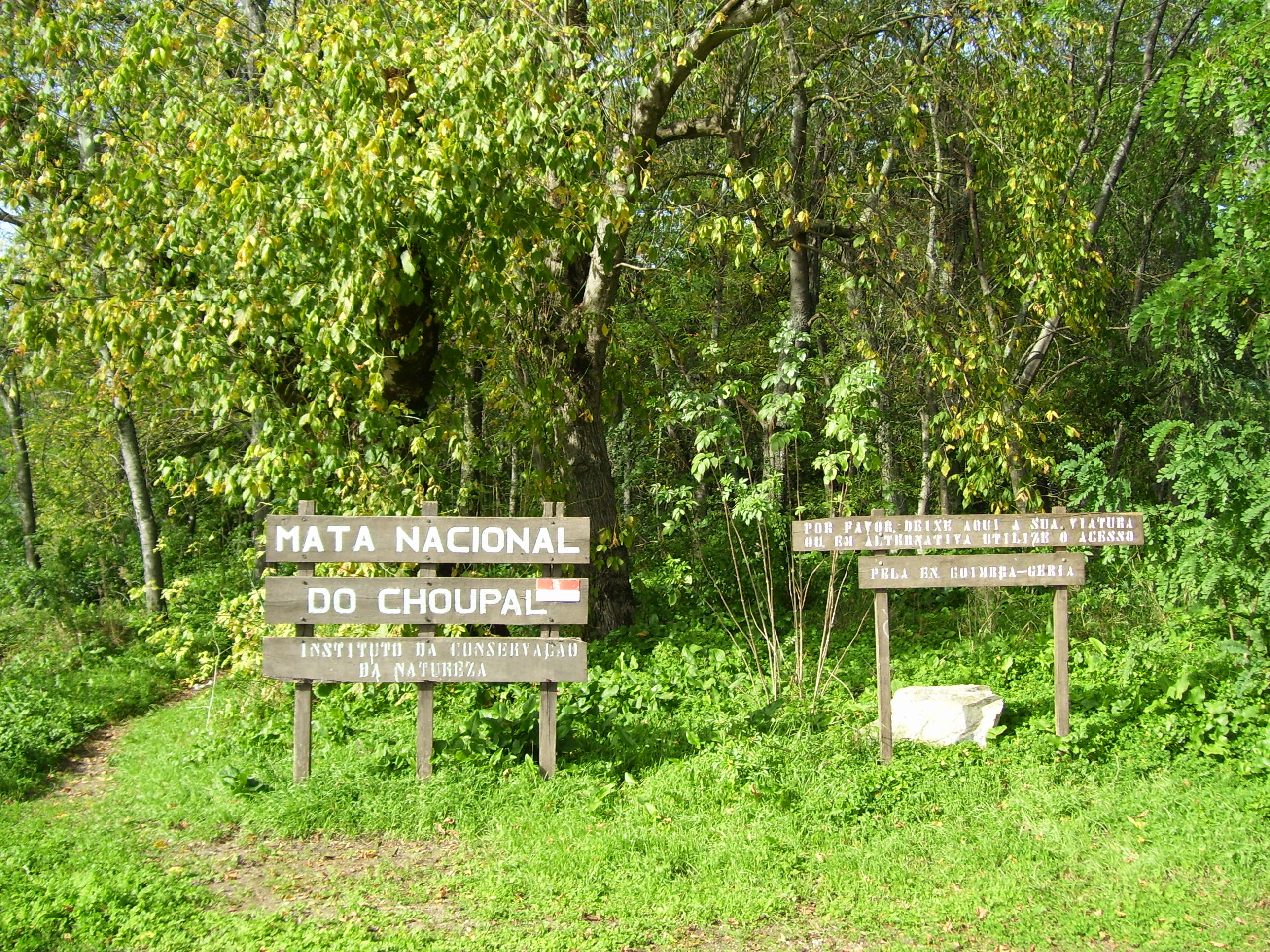
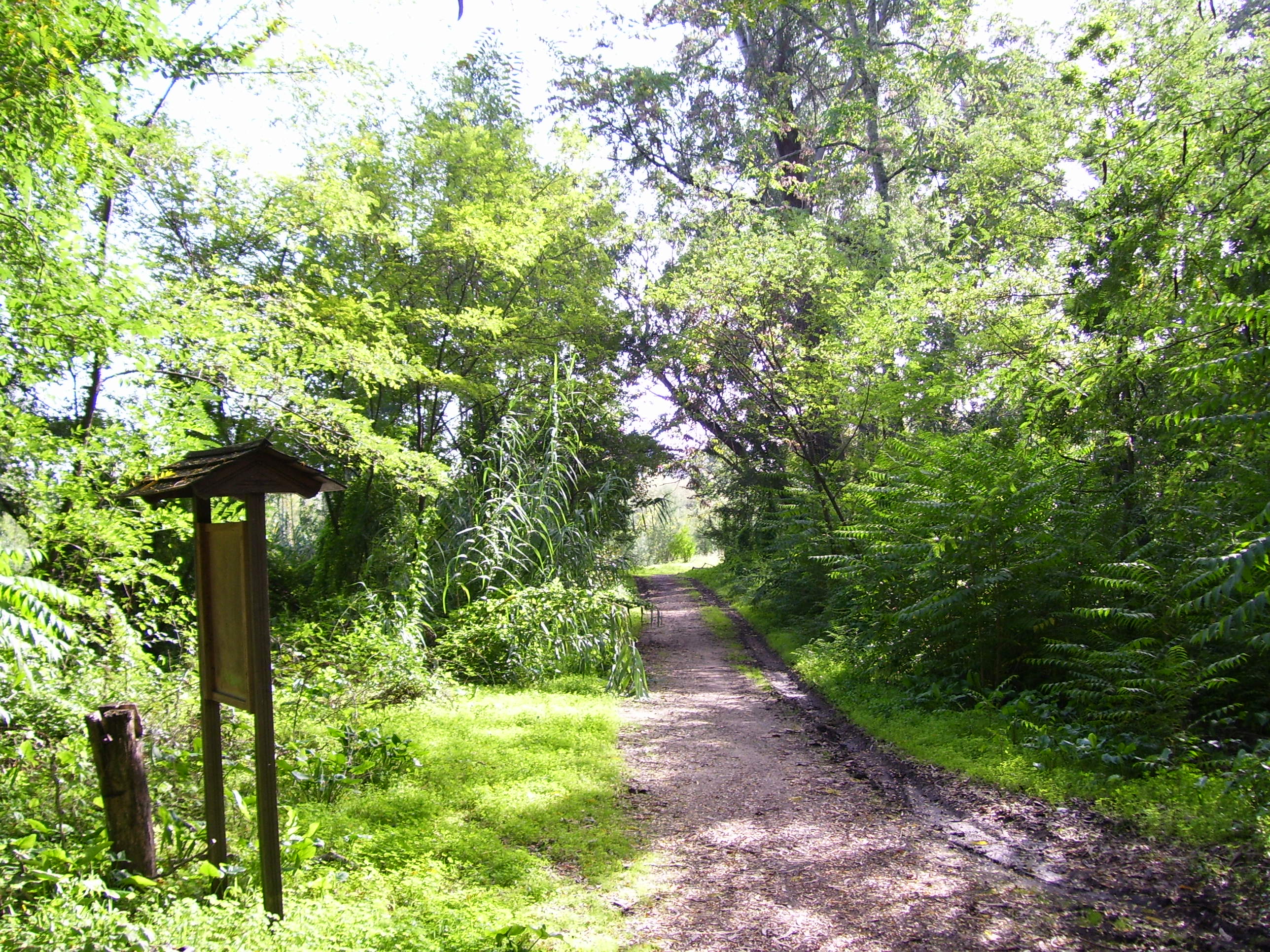
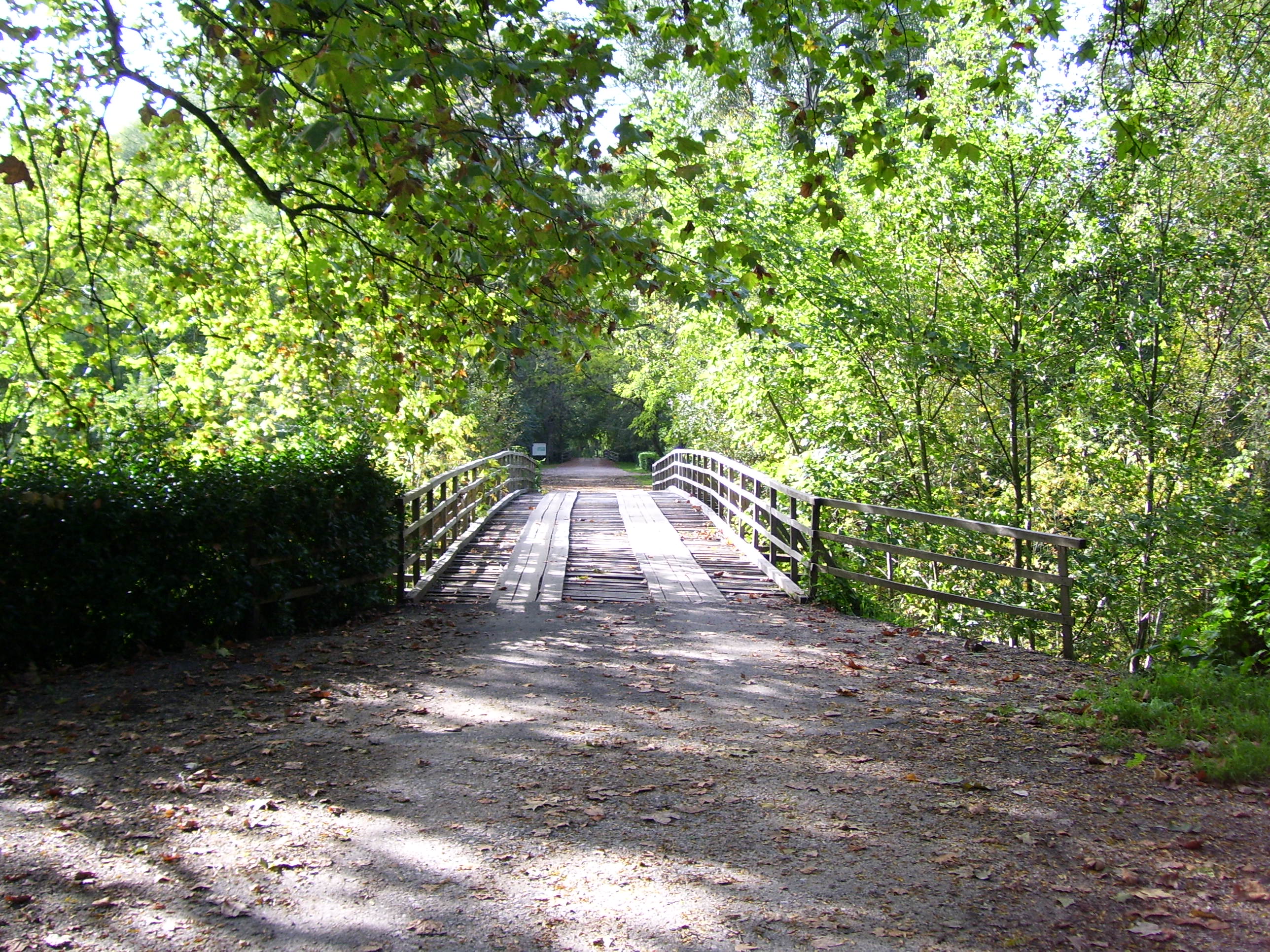
Choupal National Heath (Portuguese: Mata Nacional do Choupal) is a national heath in Coimbra, Portugal. It is a short distance from the city downtown and runs alongside the Mondego River. The forest has trails for jogging, walking, cycling and horse-riding.
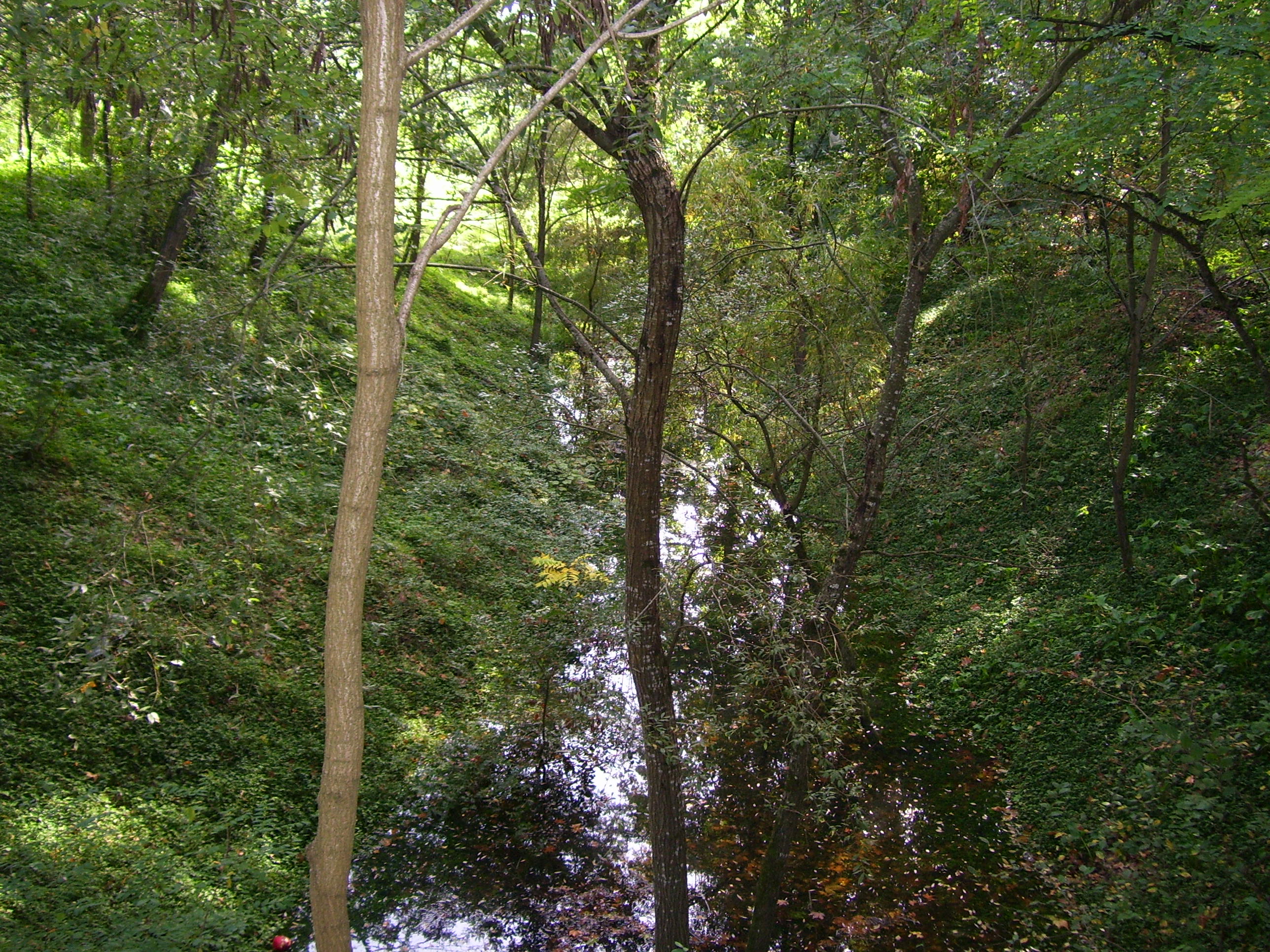
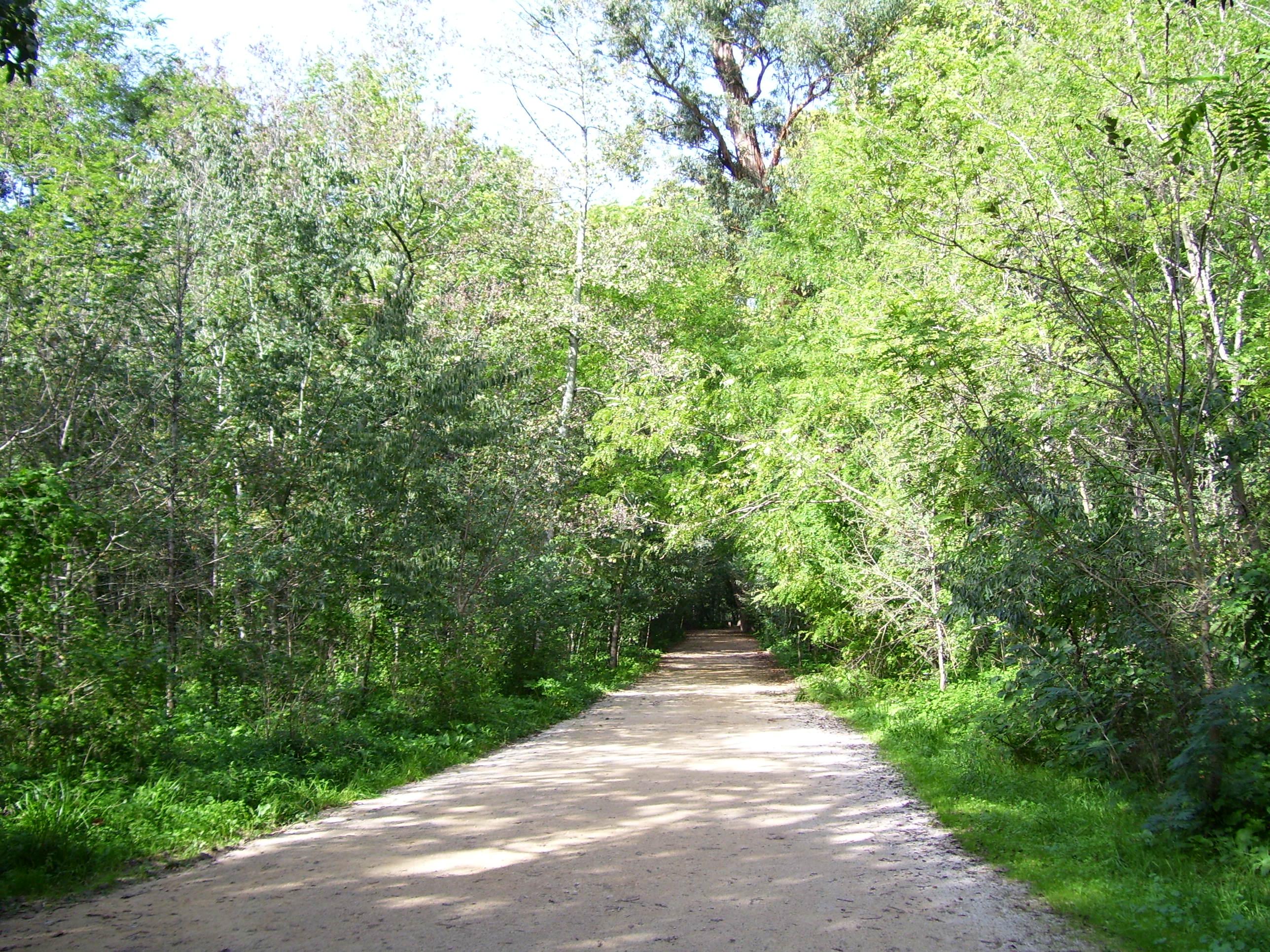
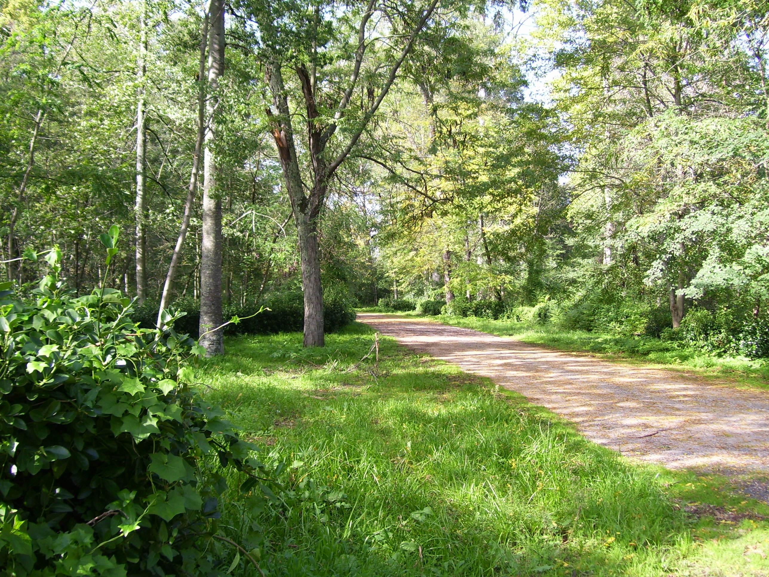
This grove of poplar trees (choupos), was planted in an attempt to stop the floods of the Mondego. In 1791, the engineer and Padre (Father, priest) Estevão Cabral directed a big project that was meant to decrease the levels of silt in the river. The trees of Choupal were therefore planted to allow a better settling of the riverbed. Since the 19th century many other trees, including planes (sycamores), beechs, laurels, and eucalyptus have grown in the area. Today the forest is a popular place for recreation, exercise and picnics.
Gallery
Categories:- Coimbra
- Conservation in Portugal
- Forests of Portugal
-
Wikimedia Foundation. 2010.