Dlhé Klčovo

Dlhé Klčovo

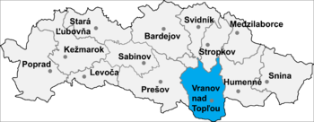
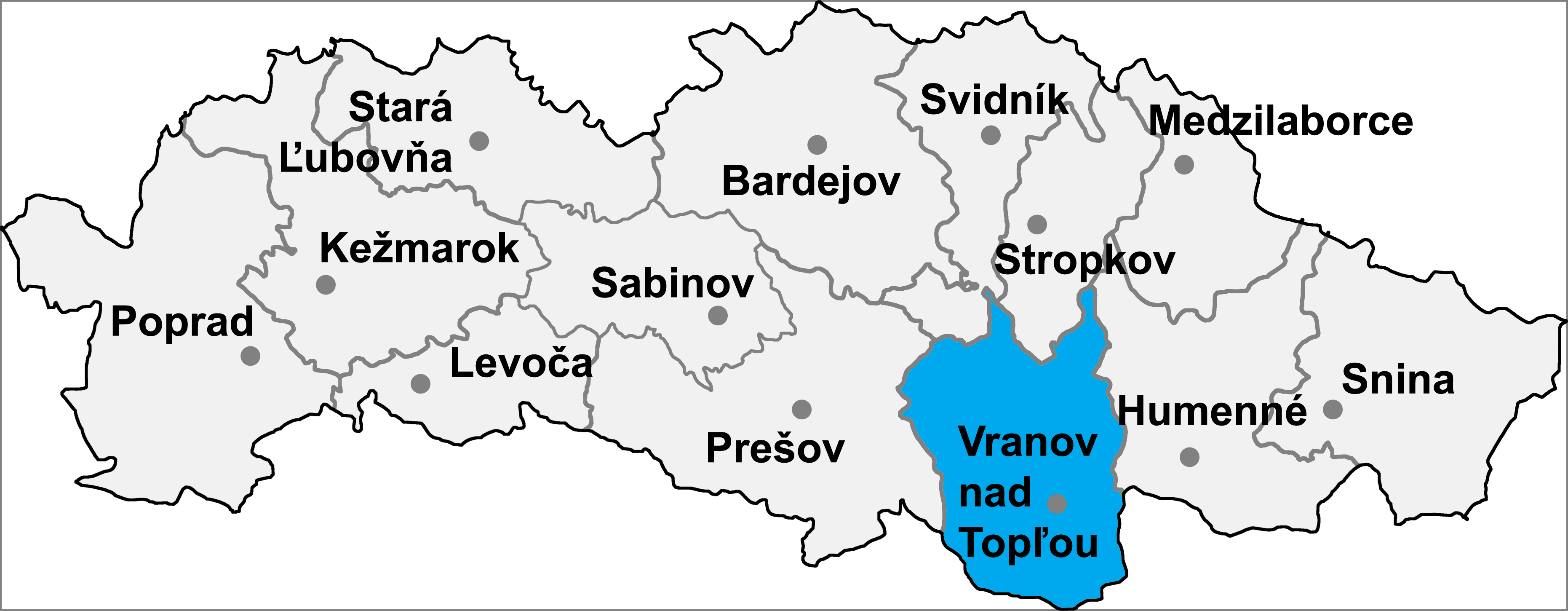
Dlhé Klčovo is a village and municipality in Vranov nad Topľou District in the Prešov Region of eastern Slovakia.

History

In historical records the village was first mentioned in 1270.

Geography

The municipality lies at an altitude of 114 metres and covers an area of 10.215km². It has a population of about 1420 people.

External links

Coordinates: 48°48′N 21°45′E / 48.8°N 21.75°E / 48.8; 21.75


Wikimedia Foundation. 2010.

Игры ⚽ Нужно сделать НИР?

Look at other dictionaries:

  • Dlhé Klčovo — (Village) Administration Pays  Slovaquie …   Wikipédia en Français

  • Prešov Region — Geobox | Region name = Prešov category = Region image caption = image caption = symbol = symbol type = etymology = official name = motto = nickname = country = Slovakia country state = region = district = commune = municipality = border = part… …   Wikipedia

  • Liste der Städte und Gemeinden in der Slowakei/A-G — Übersicht A bis G Teil 1 A bis G Teil 2 H bis Ľ Teil 3 M bis R Teil 4 S bis Ž Übersicht A B C Č D Ď E F G A …   Deutsch Wikipedia

  • Liste der Städte und Gemeinden in der Slowakei Teil 1 — Übersicht A bis G Teil 1 A bis G Teil 2 H bis Ľ Teil 3 M bis R Teil 4 S bis Ž Übersicht A B C Č D Ď E F G A …   Deutsch Wikipedia

  • Liste deutscher Bezeichnungen slowakischer Orte — In dieser Liste werden slowakischen Orten (Städte, Flüsse, Gebirge, etc.) deren deutsche Bezeichnungen gegenübergestellt, die sie aus deutschsprachiger Sicht heute noch tragen oder zu Zeiten trugen, als die Gebiete zur Donaumonarchie gehörten.… …   Deutsch Wikipedia

  • List of municipalities and towns in Slovakia — Slovakia This is a comprehensive list of municipalities and towns in Slovakia. For lists of towns and municipalities sorted by Regions see the individual articles on Regions. For an outdated list of towns only in Slovakia see also List of towns… …   Wikipedia

  • Vranov nad Topľou District — Infobox Slovak district subject name = Vranov nad Topľou District region district slovak region = Prešov Region population = 76,504 (2001) prefix = ? area = 769 car plate = VT image location = Okres vranov.png Vranov nad Topľou District ( okres… …   Wikipedia

  • Nižný Hrabovec — Location of Vranov nad Topľou District in the Nižný Hrabovec (Hungarian: Alsógyertyán; earlier i.a.: Slovak Nižssí Hrabowec/Hungarian Alsóhrabóc) is a village and municipality in the Vranov nad Topľou District in the Prešov Region of Slovakia …   Wikipedia

  • Davidov (municipality) — Location of Vranov nad Topľou District Davidov is a village and municipality in the Vranov nad Topľou District in the Prešov Region of Slovakia …   Wikipedia

  • Čičava — Location of Vranov nad Topľou District in the Prešov Region. Čičava is a village and municipality in Vranov nad Topľou District in the Prešov Region of eastern Slovakia. History In historical records t …   Wikipedia

Share the article and excerpts

Direct link
Do a right-click on the link above
and select “Copy Link”