- Monte Binga
-
Monte Binga 
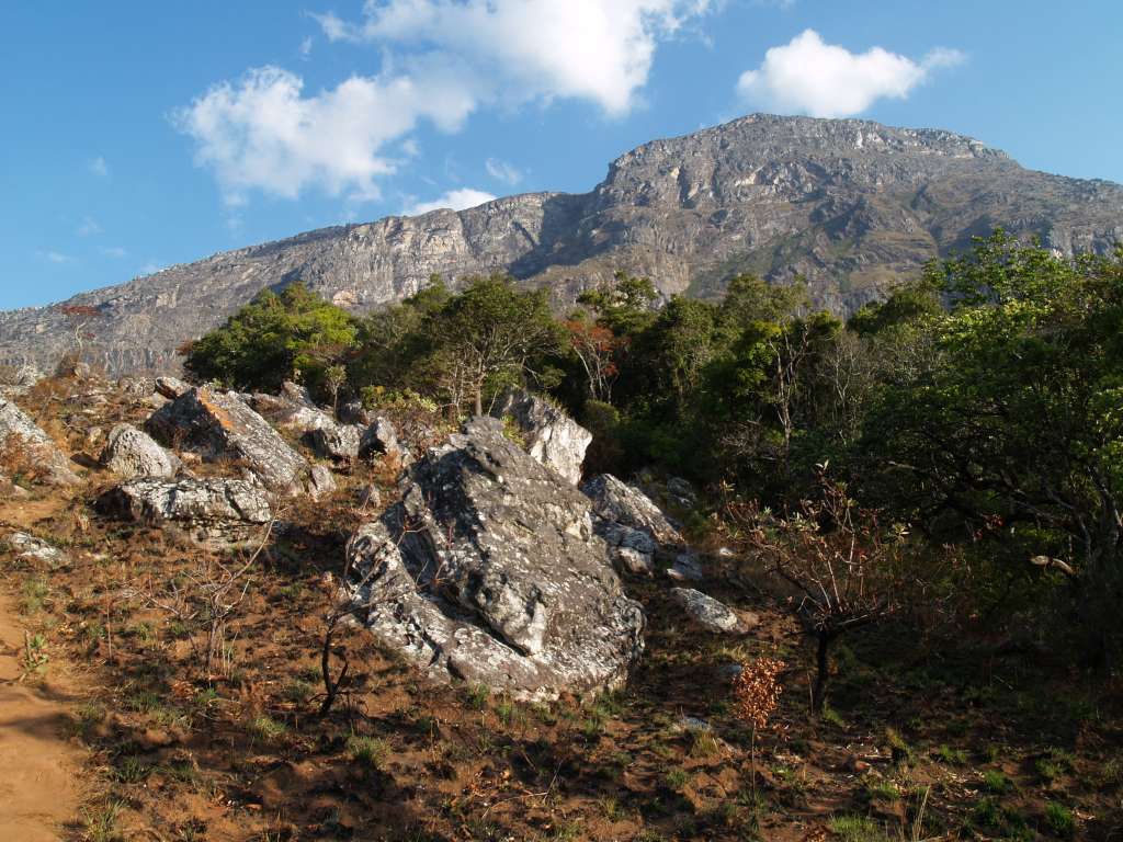
Monte Binga north faceElevation 2,436 m (7,992 ft) [1] Listing Country high point Location Location of Monte Binga in Mozambique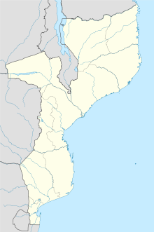
 Monte Binga
Location Manica, Mozambique Range Chimanimani Coordinates 19°46′36″S 33°03′44″E / 19.77667°S 33.06222°ECoordinates: 19°46′36″S 33°03′44″E / 19.77667°S 33.06222°E Binga is the highest mountain in Mozambique. It is located a few kilometres east of the border between Zimbabwe and Mozambique in the Chimanimani Transfrontier Park in the province of Manica. Its height is 2,436 metres (7,992 ft) above sea level.
The mountain is composed of very hard pale grey precambrian quartzite, which underlies all of the Chimanimani Plateau, giving it a desolate rocky appearance. The north-south trending quartzite bedding is upturned near the summit to an angle of about 40 degrees and dips to the east, the foot of the mountain and the Turret Towers range immediately to the south lying on a thrust fault. Consequently the eastern approach is more gradual, while the western face is steep to sheer in places. The northern face is cut off by a fault and is sheer near the top, changing to a vertical cliff lower down. Approaching from the west, from the Bundi River valley, there is an ill-defined trail which branches off from the main smugglers trail to Skeleton Pass. The climb is arduous and takes the best part of a day. There are a number of false summits en route. At the top the mountain curves into a dome-like prominence. The appearance of the mountain top is bleak and rocky, with an extremely shallow peaty soil supporting only tussocky grass and moss between the lichen-covered hard rock outcrops. There is little if any water on the approach from the west, nor at the top, but small puddles of water seep from the peat and collect in hollows not far off the summit on the gentler eastern slope. There are no well marked trails from Binga to the east and one must make ones own way, taking care when crossing the steep ravines that lead eastwards. The views over the Mozambique plain are spectacular. The mountain is remote from settlements and to reach it from either side of the border takes several days walking, so overnight camping en route is necessary.
References
- ^ "Monte Binga" on Peakbagger Note: Peakbagger indicates the peak is on the border, however the website's coordinates suggest it lies just to the east (Mozambique side) of the border. Retrieved 27 September 2011
Categories:- Mountains of Mozambique
- Mozambique geography stubs

Wikimedia Foundation. 2010.