- Dreghorn railway station
-
Dreghorn 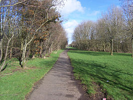
The site of Dreghorn in 2007 Location Place Dreghorn Area Ayrshire Coordinates 55°36′43″N 4°37′11″W / 55.6119°N 4.6196°WCoordinates: 55°36′43″N 4°37′11″W / 55.6119°N 4.6196°W Grid reference NS350384 Operations Original company Glasgow, Paisley, Kilmarnock and Ayr Railway Pre-grouping Glasgow and South Western Railway Platforms 2 History 28 May 1848 Opened October 1850 Closed May 1868 Reopened 6 April 1964 Closed permanently Disused railway stations in the United Kingdom Closed railway stations in Britain
A B C D–F G H–J K–L M–O P–R S T–V W–ZDreghorn railway station was a railway station serving the village of Dreghorn, North Ayrshire, Scotland. The station was originally part of the Glasgow, Paisley, Kilmarnock and Ayr Railway.
Contents
History
The station opened on 28 May 1848,[1] and closed in October 1850.[2] The station reopened in May 1868,[2] and closed permanently to passengers on 6 April 1964,[2] although the line between Irvine and Crosshouse was still in use by trains until October 1965.[3]
Gallery
-

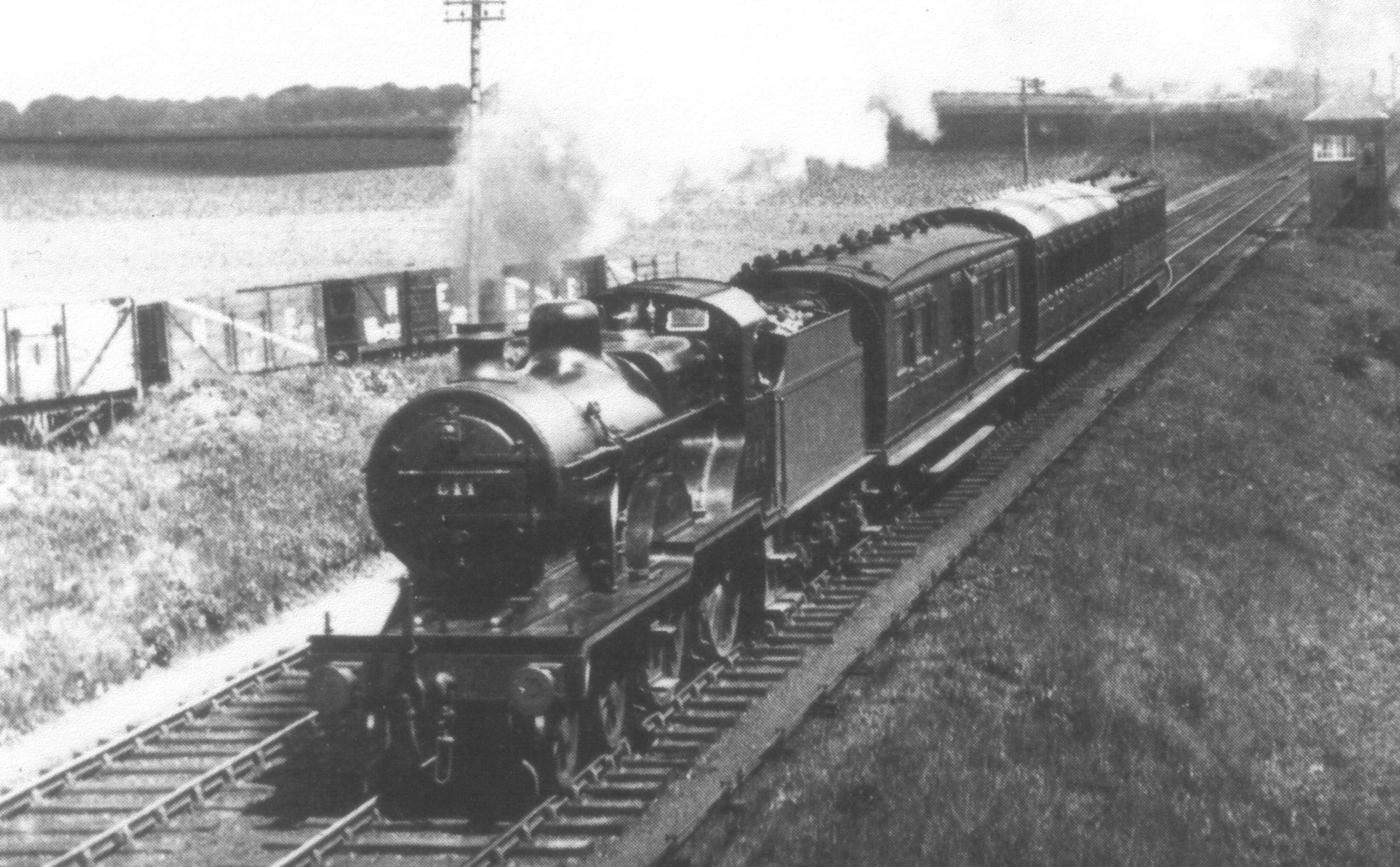
Near Perceton Junction, outside Dreghorn. Bourtreehill Brickworks sidings and wagons on the left.
-

A row of sleepers near the site of the station in 2007.
References
Notes
Sources
- Butt, R. V. J. (1995). The Directory of Railway Stations: details every public and private passenger station, halt, platform and stopping place, past and present (1st ed.). Sparkford: Patrick Stephens Ltd. ISBN 1-8526-0508-1. OCLC 60251199.
- Stansfield, G. (1999). Ayrshire & Renfrewshire's Lost Railways. Ochiltree: Stenlake Publishing. ISBN 1-8403-3077-5.
- Wham, Alasdair (1997). The Lost Railway Lines of Ayrshire : Ayrshire Railway Walks. Wigtown: G.C. Book Publishers. ISBN 1-8723-5027-5. OCLC 38356283.
Preceding station Historical railways Following station Springside
Line and station closedGlasgow and South Western Railway
Irvine
Line closed, station openCategories:- Disused railway stations in North Ayrshire
- Railway stations opened in 1848
- Railway stations closed in 1965
- Beeching closures in Scotland
- Former Glasgow and South Western Railway stations
-


Wikimedia Foundation. 2010.