- Colville River (Alaska)
-
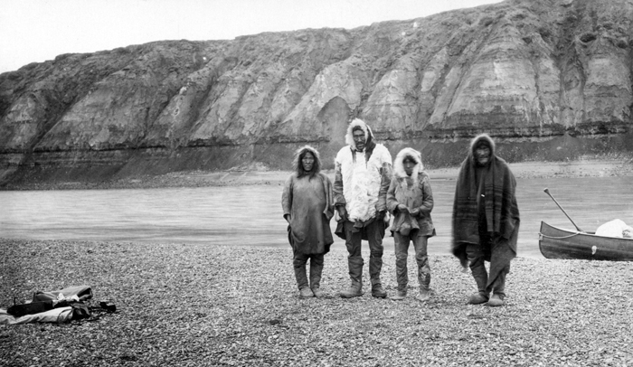
 Inuit family on Colville River, 1901
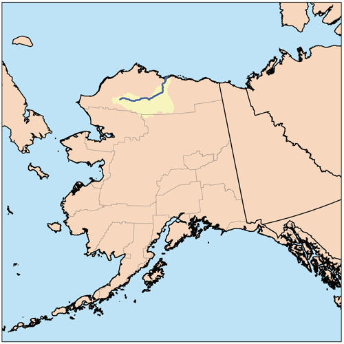
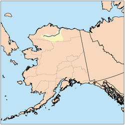 Coville River location and drainage basin
The Colville River is a major river of the Arctic Ocean coast of Alaska in the United States, approximately 350 mi (560 km) long.[1] One of the northernmost major rivers in the North America, it drains a remote area of tundra on the north side of the Brooks Range entirely above the Arctic Circle. The river is frozen for more than half the year and floods each spring.
It rises in an isolated area of the De Long Mountains, at the western end of the Brooks Range, north of the continental divide in the southwestern corner of the National Petroleum Reserve. It flows initially north, then generally east through the foothills on the north side of the range, broadening as it receives the inflow of many tributaries that descend from the middle Brooks Range. Along its middle course it forms the southeastern border of the National Petroleum Reserve. At the Inupiat Eskimo village of Umiat it turns north to flow across the Arctic plain, entering the western Beaufort Sea in a broad delta near Nuiqsut, approximately 120 mi (190 km) west of Prudhoe Bay. When the river freezes to a suitable thickness during winter, it can be used as an ice road to bring in supplies, as seen during the fourth season of the History Channel series Ice Road Truckers.
The river valley contains unexploited petroleum and natural gas deposits. A current proposal by the State of Alaska to bridge the river near Nuiqsut would be the first major river crossing north of the Arctic Circle in North America.
Named after Edward Colville Griffith who surveyed the region prior to the U.S. purchase.
See also
- List of rivers in Alaska
References
- ^ USGS Geographic Names Information System (GNIS). Colville River. Accessed Aug 20, 2007.
External links
- Louisiana Digital Libraries: Colville River, Alaska
- Alaska DOT: Colville River Bridge
- USGS Anadromous Fish on Alaska Beaufourt Sea Coast
Coordinates: 70°26′46″N 150°21′28″W / 70.44611°N 150.35778°W
Categories:- Landforms of North Slope Borough, Alaska
- Rivers of Alaska
- Brooks Range
Wikimedia Foundation. 2010.