- Albaida, Syria
Infobox Settlement
official_name = Albaida
other_name =
native_name = البيضة
nickname =
settlement_type =
motto =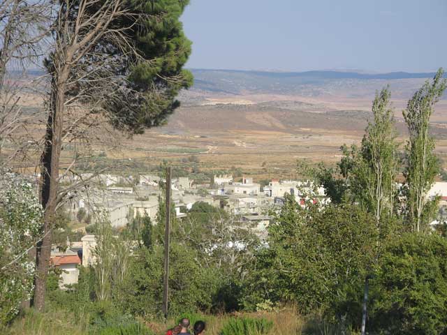
imagesize = 225px
image_caption = Albaida, a Syrian village
flag_size =
image_
seal_size =
image_shield =
shield_size =
image_blank_emblem =
blank_emblem_type =
blank_emblem_size =
mapsize =
map_caption =
mapsize1 =
map_caption1 =
image_dot_
dot_mapsize =
dot_map_caption =
dot_x = |dot_y =
pushpin_
pushpin_label_position =bottom
pushpin_mapsize =225
pushpin_map_caption =Location in Syria
subdivision_type = Country
subdivision_name = Flag|Syria
subdivision_type1 = Governorate
subdivision_name1 =Hama Governorate
subdivision_type2 = District
subdivision_name2 =Masyaf District
subdivision_type3 =
subdivision_name3 =
subdivision_type4 =
subdivision_name4 =
government_footnotes =
government_type =
leader_title =
leader_name =
leader_title1 =
leader_name1 =
leader_title2 =
leader_name2 =
leader_title3 =
leader_name3 =
leader_title4 =
leader_name4 =
established_title =
established_date =
established_title2 =
established_date2 =
established_title3 =
established_date3 =
area_magnitude =
unit_pref =Metric
area_footnotes =
area_total_km2 =
area_land_km2 =
area_water_km2 =
area_total_sq_mi =
area_land_sq_mi =
area_water_sq_mi =
area_water_percent =
area_urban_km2 =
area_urban_sq_mi =
area_metro_km2 =
area_metro_sq_mi =
area_blank1_title =
area_blank1_km2 =
area_blank1_sq_mi =
population_as_of =
population_footnotes =
population_note =
population_total =
population_density_km2 =
population_density_sq_mi =
population_metro =
population_density_metro_km2 =
population_density_metro_sq_mi =
population_urban =
population_density_urban_km2 =
population_density_urban_sq_mi =
population_blank1_title =Ethnicities
population_blank1 =
population_blank2_title =Religions
population_blank2 =
population_density_blank1_km2 =
population_density_blank1_sq_mi =
timezone =
utc_offset =
timezone_DST =
utc_offset_DST =
latd=35|latm=02|lats=|latNS=N
longd=36|longm=20|longs=|longEW=E
elevation_footnotes =
elevation_m = 510
elevation_ft =
postal_code_type =
postal_code =
area_code =
blank_name =
blank_info =
blank1_name =
blank1_info =
website =
footnotes =Albaida (Arabic: البيضة) is a small village in
Syria . It is located 95 km Southeast of the port city ofLatakia , 2 km south ofMasyaf (Arabic: مصياف), and 210 km north ofDamascus . It is part of theHama Governorate (Muhafazat Hama).The village is notable for numerous water springs such as
Ayen Tallah which provided the village with pure water for many years.Albaida's population is about 800 during winter, growing to about 5,000 during the summer; summer visitors spend most of their times at waterfall areas, cafeterias, and cafes. The year-round population is 99%
Christian (Greek Orthodox ) and 1% Muslim; most work in agriculture, intourism , or for the government.History
The first man who lived in
Albaida was Ibrahim Bolous Ghanemeh in about 1730. TheSan Gawargeos church at Albaida was built in 1865.Resources
[Official website] (closed)

Wikimedia Foundation. 2010.