- Lewis and Clark River
-
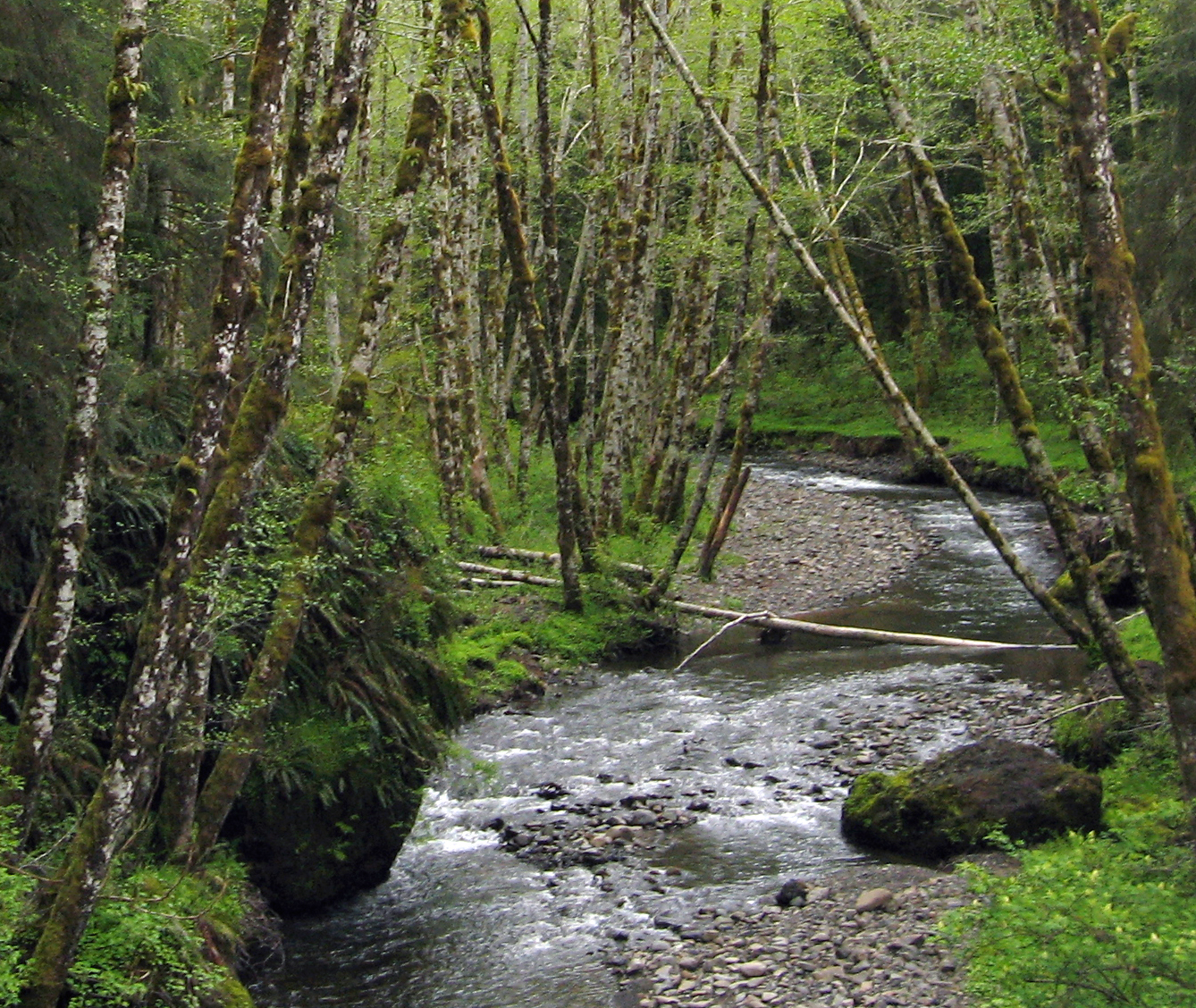
Lewis and Clark River  Lewis and Clark River near its source at Saddle Mountain.
Name origin: Meriwether Lewis and William Clark Country United States State Oregon County Clatsop Source Northern Oregon Coast Range - location Saddle Mountain, Clatsop County, Oregon - elevation 2,100 ft (640 m) [1] - coordinates 45°57′49″N 123°38′21″W / 45.96361°N 123.63917°W [2] Mouth Columbia River - location Youngs Bay, Clatsop County, Oregon - elevation 0 ft (0 m) [2] - coordinates 46°10′6″N 123°51′47″W / 46.16833°N 123.86306°W [2] Length 20 mi (32 km) Basin 62 sq mi (161 km2) [3] 
 Location of the mouth of the Lewis and Clark River in Oregon
The Lewis and Clark River is a tributary of the Columbia River, approximately 20 miles (32 km) long, in northwest Oregon in the United States. It drains 62 square miles (160 km2) of the Northern Oregon Coast Range in the extreme northwest corner of the state, entering the Columbia near its mouth. Near the river's mouth is the site of former Fort Clatsop of the Lewis and Clark Expedition. The river is named for Meriwether Lewis and William Clark.
Contents
Course
The Lewis and Clark River rises south of Saddle Mountain in the central Clatsop County. It flows generally west and slightly north. Near Seaside it turns north and flows parallel to the coast, approximately 5 miles (8.0 km) inland. It enters the Youngs Bay, part of the Columbia River, at Astoria. The site of Fort Clatsop is approximately 1.5 miles (2.4 km) upstream from the mouth of the river.
History and parks
The river was called the Netul River by Lewis and Clark and the Native American Clatsop people who were living in the area at the time. It continued to be known as the Netul River until 1925, when it was renamed to honor Lewis and Clark.[4] The river flows through Lewis and Clark National and State Historical Parks, which were collectively designated as a National Historical Park in 2004.
Fish
The river is widely known in the region as an excellent place to catch the bottom-feeding sturgeon, which is a popular sport fish in the area, and is home to an extensive salmon repopulation program, just outside of Astoria, Oregon proper, that is currently run by the Oregon Department of Fish and Wildlife. The salmon fry, called "fingerlings" can be seen writhing and jumping within their net-lined pens along the river's eastern banks.[citation needed]
See also
References
- ^ Source elevation derived from USGS topo map (Note: the source coordinates provided by the USGS GNIS webpage are clearly wrong.
- ^ a b c U.S. Geological Survey Geographic Names Information System: Lewis and Clark River
- ^ "Watershed Boundary Dataset". United States Department of Agriculture, Natural Resources Conservation Service. http://www.ncgc.nrcs.usda.gov/products/datasets/watershed/. Retrieved 4 September 2010.
- ^ Wesselius, Allen. "A Lasting Legacy: The Lewis and Clark Place Names of the Pacific Northwest - Part IV". Columbia Magazine. http://whs1.order-vault.net/wshs/wshs/columbia/articles/0401-a4.htm. Retrieved May 13, 2009.
Categories:- Lewis and Clark Expedition
- Rivers of Oregon
- Landforms of Clatsop County, Oregon

Wikimedia Foundation. 2010.