- Tamanrasset Airport
Infobox Airport
name = Aguenar Airport
nativename =
nativename-a =
nativename-r =
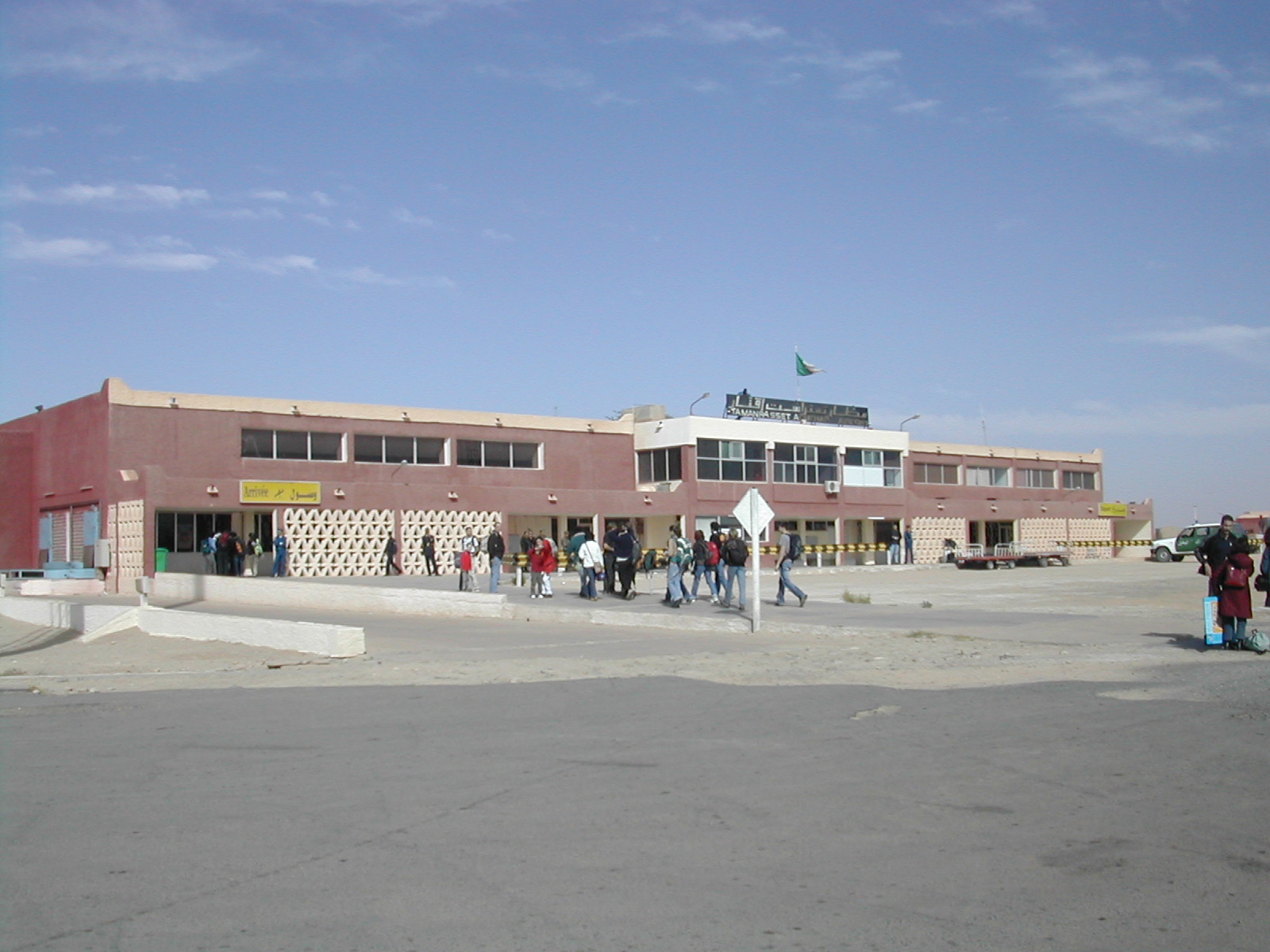
image-width =
caption =
IATA = TMR
ICAO = DAAT
type = Public
owner =
operator = [http://www.egsa-alger.com]
city-served =
location = Tamanrasset
elevation-f = 4518
elevation-m = 1377
coordinates = Coord|22|48|37|N|05|26|20|E|type:airport|display=inline,title
website =
metric-elev =
metric-rwy =
r1-number = 02/20
r1-length-f = 11,800
r1-length-m = 3,600
r1-surface =Asphalt
r2-number = 08/26
r2-length-f = 10,170
r2-length-m = 3,100
r2-surface =Asphalt
stat-year =
stat1-header =
stat1-data =
stat2-header =
stat2-data =
footnotes =Tamanrasset Airport airport codes|TMR|DAAT, also known as Aguenar Airport, is an
airport nearTamanrasset ,Algeria .Airlines and destinations
*
Aigle Azur (Marseille, Paris-Orly)
*Air Algerie (Algiers, Constantine, Djanet, El Golea, Ghardaia, Illizi, In Salah, Oran, Ouargla, Paris-Orly)
*Air Méditerranée (Paris-Orly)
*Tassili Airlines (Algiers, Annaba, Hassi Messaoud, Hassi R'Mel)Incidents and Accidents
Air Algérie Flight 6289 crashed March 6, 2003 at 3:45 p.m. local time (1445 GMT).Air Algérie Flight 6289 was leavingTamanrasset bound forAlgiers with the co-pilot acting as pilot-in-command. At a height of 78 feet and a speed of 158 kts, the No. 1 engine suffered a turbine failure. The captain took control. The co-pilot asked if she should raise the gear, but the captain did not respond. TheBoeing 737-200 lost speed, stalled, and broke up on rocky terrain about 1600 metres past the runway.The
accident was caused by the loss of an engine during a critical phase of flight, the non-retraction of thelanding gear after the engine failure, and the Captain taking over control of the airplane before having clearly identified the problem. There were 102 fatalities and one survivor.It is currently an alternative landing site for
NASA 'sSpace Shuttle .External links
* [http://www.cnn.com/2003/WORLD/africa/03/06/algeria.planecrash/ CNN.com Algeria plane crash kills 102]
* [http://aviation-safety.net/database/2003/030306-0.htm Aviation Safety Network]
* [http://www.bea.aero/docspa/2003/7t-z030306a/pdf/7t-z030306a.pdf Official Accident Report from the Algerian Ministry of Transport(english)]
Wikimedia Foundation. 2010.