- Man of War Bay
-
Coordinates: 50°37′13″N 2°16′13″W / 50.6204°N 2.2703°W
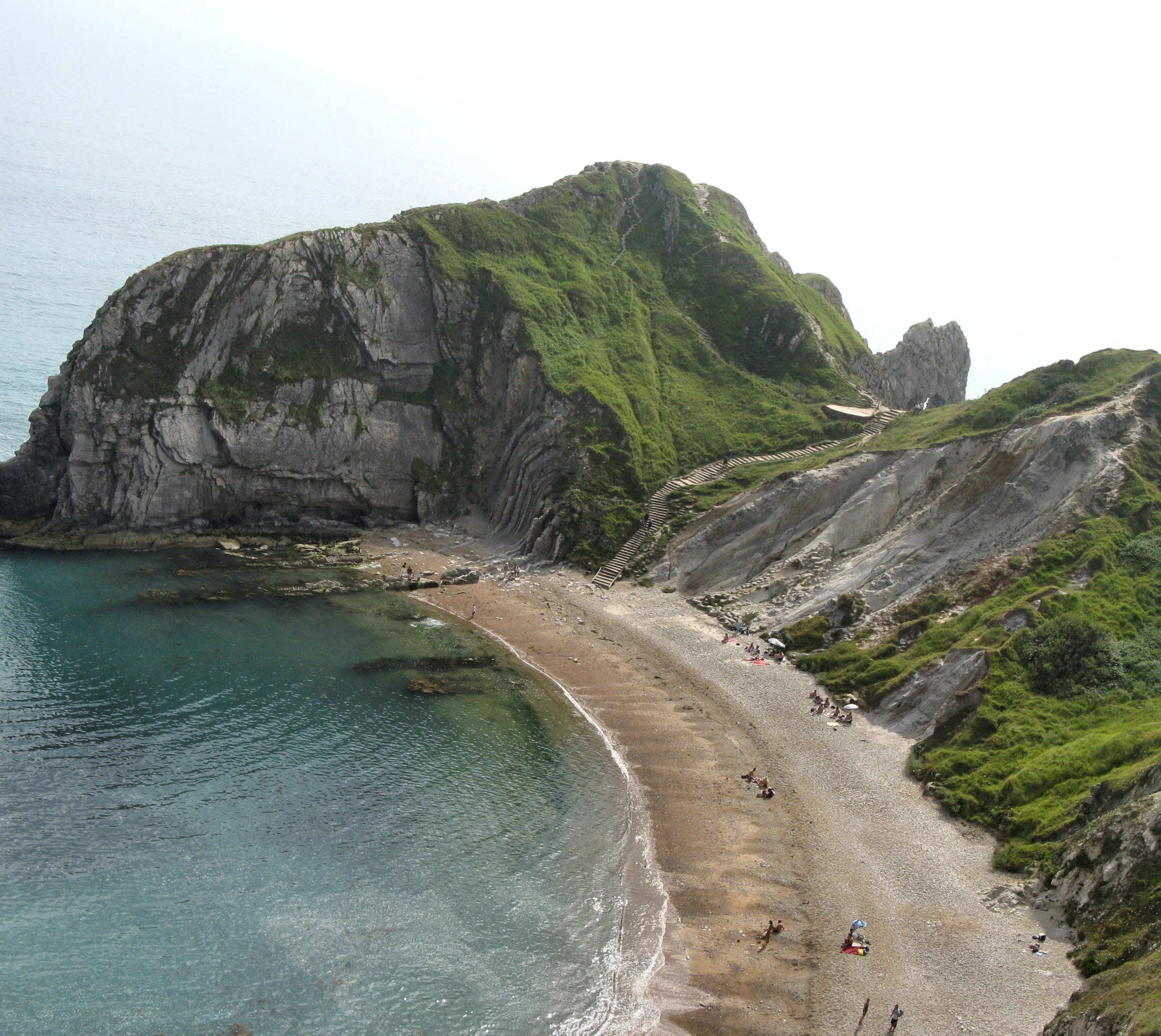
 Man O’War Cove from the cliffs. The top of Durdle Door, and a glimpse of its opening, can be seen at the top of the steps.
Man of War Bay encloses Man O'War Cove on the Dorset coast in southern England, between the headlands of Durdle Door to the west and Man O War Head to the east.The UK Ordnance Survey maps at 1:50000 and 1:25000 scale do not mark a bay of this name in the area and therefore Man of War Bay may be a local name. The cove the bay encloses is called Man O'War Cove so the spelling "Man of War Bay" is doubtful. The Ordnance Survey maps mark a St Oswald's Bay so this is the official name.
See also
External links
- Ian West's Geology of the Wessex Coast Field Guide, including photographs
Categories:- Dorset geography stubs
- Bays of Dorset
- Jurassic Coast
- Coves of England
Wikimedia Foundation. 2010.