- Puyehue National Park
Infobox_Protected_area | name = Puyehue National Park
iucn_category = II

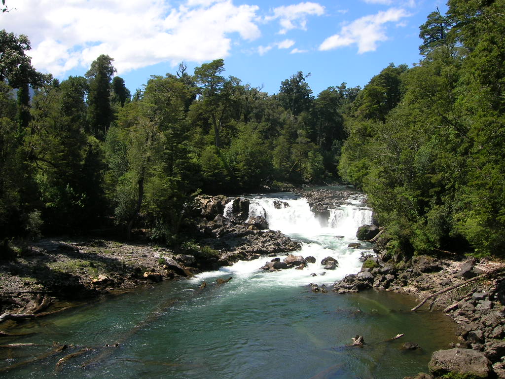
caption = Waterfall
locator_x =
locator_y =
location =Los Lagos Region ,Chile
nearest_city = Osorno
lat_degrees =
lat_minutes =
lat_seconds =
lat_direction =
long_degrees =
long_minutes =
long_seconds =
long_direction =
area = 1,068 km²
established =1941
visitation_num =
visitation_year =
governing_body =Corporación Nacional Forestal Puyehue National Park is located in the
Andes , in Los Ríos andLos Lagos Region ofChile . It covers 1,068 square kilometres. The Route 215 passes through the park. It connects with the Argentine Route 231 viaCardenal Antonio Samoré Pass .The park is dominated by Puyehue volcano,
Cordón Caulle andAntillanca Group .Its flora and fauna in the lower parts is that one of
Valdivian temperate rain forest and is similar to that of its southern neighbor, theVicente Pérez Rosales National Park .Another attraction is
Antillanca ski resort .The rivers Gol-Gol and Chanleufú flow through the park, whereas the major lakes within it are Gris and Constancia. The park features numerous waterfalls. Among them is "Salto del Indio".
ee also
*
Puyehue Lake
*Rupanco Lake References
*Es icon [http://www.sernatur.cl/Areas_Silvestres/Los_Lagos/Los_Lagos.html Parque Nacional Puyehue]
External links
* [http://www.magney.org/photofiles/Chile-PuyehuePhotos1.htm Landscape Scenes and Plants]
Wikimedia Foundation. 2010.
