- Tepezalá, Aguascalientes
Infobox Settlement
name = Tepezalá
settlement_type =Municipality
other_name =
native_name =
nickname =
motto =
imagesize =
image_caption =
flag_size =
image_
seal_size =
image_shield =
shield_size =
image_blank_emblem =
blank_emblem_type =
blank_emblem_size =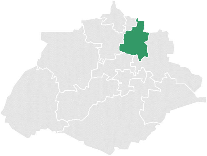
mapsize =
map_caption = Municipality location in Aguascalientes
mapsize1 =
map_caption1 =
image_dot_
dot_mapsize =
dot_map_caption =
dot_x = |dot_y =
pushpin_
pushpin_label_position =bottom
pushpin_mapsize =280
pushpin_map_caption =Location in Mexico
subdivision_type = Country
subdivision_name = flag|Mexico
subdivision_type1 = State
subdivision_name1 =Aguascalientes
subdivision_type2 =
subdivision_name2 =
subdivision_type3 =
subdivision_name3 =
subdivision_type4 =
subdivision_name4 =
government_footnotes =
government_type =
leader_title =
leader_name =
leader_title1 =
leader_name1 =
leader_title2 =
leader_name2 =
leader_title3 =
leader_name3 =
leader_title4 =
leader_name4 =
established_title =
established_date =
established_title2 =
established_date2 =
established_title3 =
established_date3 =
area_magnitude =
unit_pref =Imperial
area_footnotes =
area_total_km2 = 228
area_land_km2 =
area_water_km2 =
area_total_sq_mi =
area_land_sq_mi =
area_water_sq_mi =
area_water_percent =
area_urban_km2 =
area_urban_sq_mi =
area_metro_km2 =
area_metro_sq_mi =
area_blank1_title =
area_blank1_km2 =
area_blank1_sq_mi =
population_as_of =2000
population_footnotes =
population_note =
population_total =16,508
population_density_km2 =
population_density_sq_mi =
population_metro =
population_density_metro_km2 =
population_density_metro_sq_mi =
population_urban =
population_density_urban_km2 =
population_density_urban_sq_mi =
population_blank1_title =Ethnicities
population_blank1 =
population_blank2_title =Religions
population_blank2 =
population_density_blank1_km2 =
population_density_blank1_sq_mi =
timezone =
utc_offset =
timezone_DST =
utc_offset_DST =
latd=22 |latm=13|lats= |latNS=N
longd=102|longm=10|longs=|longEW=W
elevation_footnotes =
elevation_m =
elevation_ft =
postal_code_type =
postal_code =
area_code =
blank_name =
blank_info =
blank1_name =
blank1_info =
website =
footnotes =Tepezalá is a municipality in the
Mexican state ofAguascalientes . It stands at coord|22|13|N|102|10|W|.The municipality reported 16,508 inhabitants in the2000 census.Tepezala is located on the
foothills of the eastern mountains of the state, a land rich in minerals and arid in vegetation that was on the oldSilver Route during the 16th century, which brought so much wealth to the region and help conquer the inhospitable north of Mexico.The small city of the same name serves as the administrative capital: Tepezalá, whose mines made it famous and brought wealth to the state.
External links
*http://www.aguascalientes.gob.mx/estado/m_tep.html

Wikimedia Foundation. 2010.