- Nitrianske Hrnčiarovce
-
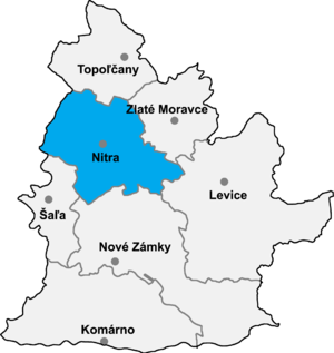 Nitra district in the Nitra region
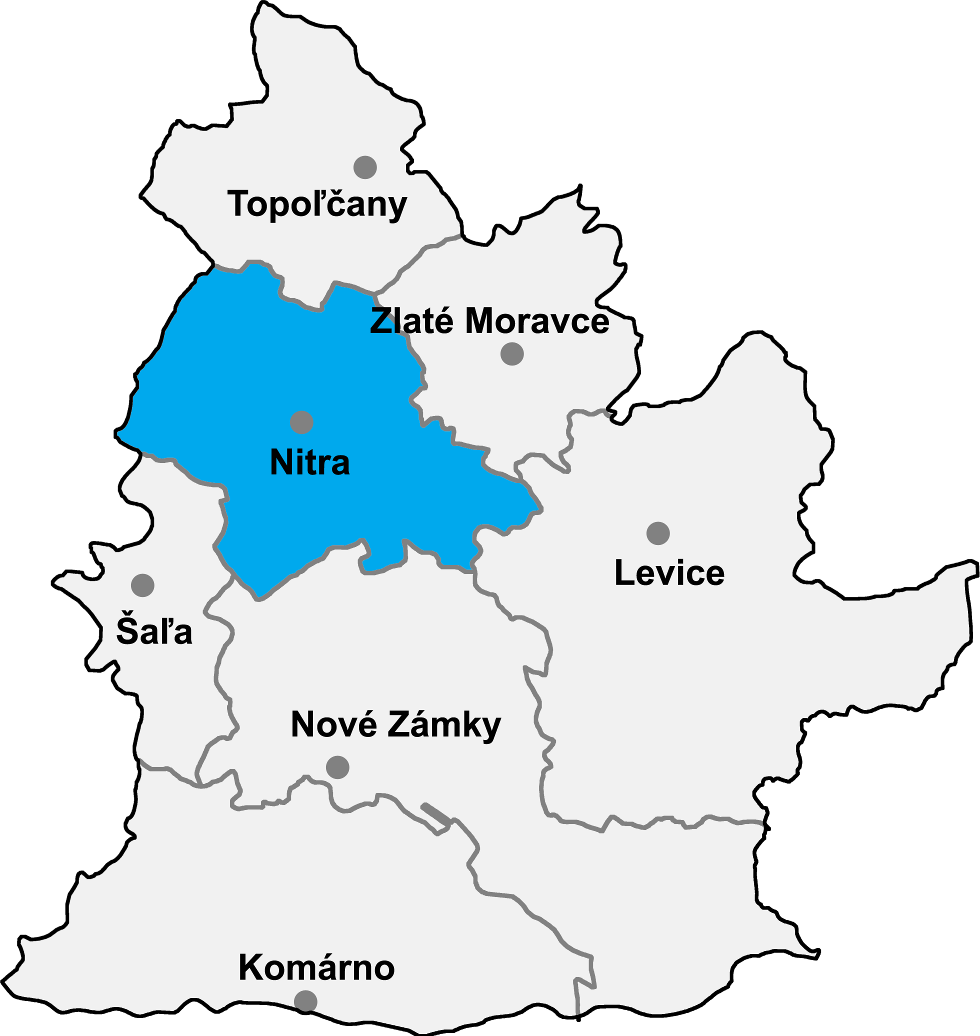
Nitrianske Hrnčiarovce (Hungarian: Nyitragerencsér) is a village and municipality in the Nitra District in western central Slovakia, in the Nitra Region.
Contents
History
In historical records the village was first mentioned in 1113.
Geography
The village lies at an altitude of 215 metres and covers an area of 9.946km². It has a population of about 1820 people.
Ethnicity
The village is approximately 65% Slovak and 33% Magyar and 2% Gypsy.
Facilities
The village has a public library and a football pitch.
External links
Nitra · Vráble
Alekšince · Báb · Babindol · Bádice · Branč · Cabaj-Čápor · Čab · Čakajovce · Čechynce · Čeľadice · Čifáre · Dolné Lefantovce · Dolné Obdokovce · Golianovo · Horné Lefantovce · Hosťová · Hruboňovo · Ivanka pri Nitre · Jarok · Jelenec · Jelšovce · Kapince · Klasov · Kolíňany · Lehota · Lúčnica nad Žitavou · Lukáčovce · Lužianky · Ľudovítová · Malé Chyndice · Malé Zálužie · Malý Cetín · Malý Lapáš · Melek · Mojmírovce · Nitrianske Hrnčiarovce · Nová Ves nad Žitavou · Nové Sady · Paňa · Podhorany · Pohranice · Poľný Kesov · Rišňovce · Rumanová · Svätoplukovo · Štefanovičová · Štitáre · Šurianky · Tajná · Telince · Veľká Dolina · Veľké Chyndice · Veľké Zálužie · Veľký Cetín · Veľký Lapáš · Vinodol · Výčapy-Opatovce · Zbehy · Žirany · Žitavce
Coordinates: 48°20′N 18°08′E / 48.333°N 18.133°E
Categories:- Villages and municipalities in Nitra District
- Nitra Region geography stubs
Wikimedia Foundation. 2010.