- Kankakee River
Geobox|River
name = Kankakee River
native_name = Aukiki
other_name =
other_name1 =
image_size = 300
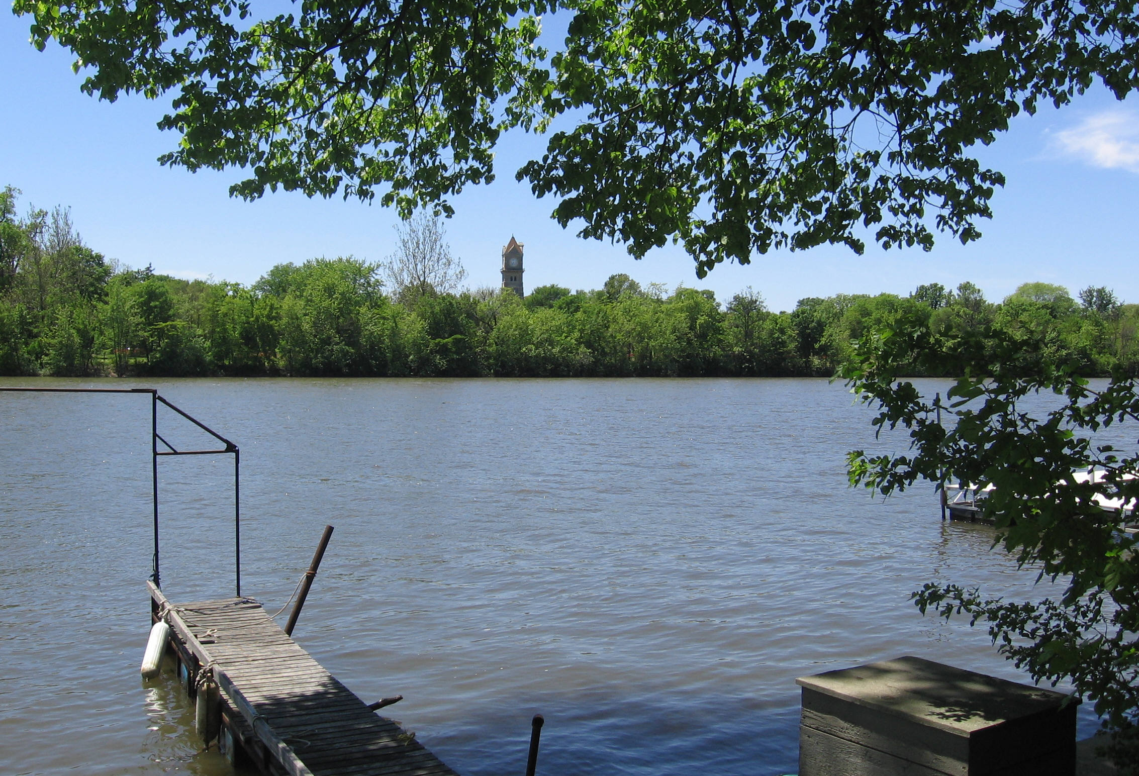
image_caption = the Kankakee River from Kankakee, Illinois near Cobb Park.
country =United States
country1 =
state =Indiana
state1 =Illinois
region = Upper Illinois River Valley
region1 = Upper Mississippi Basin
district =
district1 =
city = South Bend, IN
city1 = Kankakee, IL
length_imperial = 90
watershed_imperial = 5150
discharge_location =Illinois River
discharge_average_imperial = 4709
discharge_average_note = (1934)
discharge_max_imperial = 4300
discharge_min_imperial = 655
source_name =St. Joseph County, Indiana
source_location = Portage Township
source_district = St. Joseph County
source_region =
source_state =Indiana
source_lat_d = 41
source_lat_m = 39
source_lat_s = 14.864
source_lat_NS = N
source_long_d = 86
source_long_m = 18
source_long_s = 19.0404
source_long_EW = W
source_elevation_imperial = 725
source_length_imperial =
mouth_name =Illinois River
mouth_location =
mouth_district = Goose Lake Township
mouth_region =
mouth_state =Illinois
mouth_lat_d = 41
mouth_lat_m = 23
mouth_lat_s = 25.4292
mouth_lat_NS = N
mouth_long_d =88
mouth_long_m = 15
mouth_long_s = 37.1478
mouth_long_EW = W
mouth_elevation_imperial = 508
tributary_left =Yellow River
tributary_left1 =Iroquois River
tributary_right =Little Kankakee River
tributary_right1 =Crooked Creek
free_name =
free_value =

map_size = 200 px
map_caption = Kankakee River basinThe Kankakee River is a tributary of theIllinois River , approximately 90 mi (144 km) long, in northwesternIndiana and northeasternIllinois in theUnited States . At one time the river drained one of the largestwetlands inNorth America and furnished a significantportage between the Great Lakes and theMississippi River . Significantly altered from its original channel, it flows through a primarily rural farming region of reclaimed cropland south ofLake Michigan .Description
.
The Kankakee River Basin drains 2989 sq. mi. (square miles) in northwest
Indiana , 2169 sq. mi. in northeast Illinois,and about 7 sq. mi. in southwest Lower Michigan (figure 1). The Kankakee River heads near South Bend, then flows westward into Illinois, where it joins with the Des Plaines River to form theIllinois River . The area of Lake County which originally drained to Lake Michigan but now drains by means of artificial diversion to the Illinois River is not considered to be part of the Kankakee River Basin study region. Although the Kankakee River basin includes portions of Indiana,Illinois , andMichigan , the discussion below will focus on the Indiana portion of the basin. [Water Resource Availability in the Kankakee Riverr Basin, Indiana - Executive Summary; Indiana Department of Natural Resoruces, Division of Water, 1990]KANKAKEE OUTWASH AND LACUSTRINE PLAIN"A large sandy and poorly drained plain, the Kankakee Outwash and Lacustrine Plain, comprises approximately the southern quarter of both Lake and Porter Counties and is the most recent of the three land scape regions to face the pressures of impending urbanization. Large portions of the area were once marshland associated with the meandering Kankakee River, which, for 8 or 9 months of the year, was flanked on both sides by wetlands. The marsh area was 3 or 4 miles wide and contained water 1 to 4 feet deep (Meyer, 1935). The low marshland was broken by infrequent islands of sand blown into dunes. The sand islands were the sites of Indian encampments and later of pioneer homes. The Kankakee marsh was an effective barrier to early southerly exploration of both counties, but the area has been progressively drained by ditches constructed during the past 60 years." [Environmental Geology of Lake and Porter Counties, Indiana An Aid to Planning; By EDWIN J. HARTKE, JOHN R. HILL, and MARK RESHKIN; ENVIRONMENTAL STUDY 8 DEPARTMENT OF NATURAL RESOURCES GEOLOGICAL SURVEY SPECIAL REPORT 11, pg 3]
Landscape
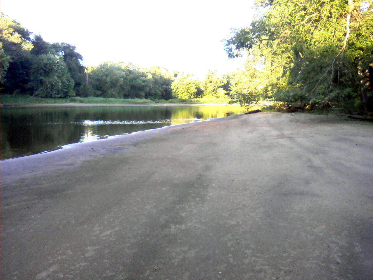
thumb|300px|left|Sandy shore along Kankakee River, 3 miles west of IL/IN state line.The Kankakee River Basin is a product of the Wisconsinan glacial period. It is a remant of the glacial lakes that comprised the Lake Michigan lobe of the ice sheet. Landscape elements include 1) the nearly level plains of a ground moraine, 2) eolian (wind driven deposits) plains, 3)outwash deposits, 3) the central river basin and 4)end moraine s forming the north, middle and southern borders. Local relief varies from 60 feet along the Iroquois Moraine up to 100 feet on theValparaiso Moraine . Deposits range from 50 to 100 feet in the lower basin (western). The deepest deposits of 100 to 250 feet are in the upper basin (eastern). Along the Valparaiso Moraine, deposits can reach 350 feet thick. [Water Resource Availability in the Kankakee Basin, Indiana – Executive Summary; Indiana Department of Natural Resources, Division of Water, 1990]Outwash deposits occur primarily along the northern border of the basin. The southern half of the Kankakee Basin, south of the main river channel is characterized by the fine grained sediments that are wind driven, forming a series of broad eolian sand dunes and ridges. These are of moderate height.Lacustrine silts and clays are mixed with the various water bourne and winde driven deposits throughout the basin. [Water Resource Availability in the Kankakee Basin, Indiana – Executive Summary; Indiana Department of Natural Resources, Division of Water, 1990]Bedrock
The bedrock underlying the Kankakee Basin is primarily of
Silurian age. There are also strata from theDevonian , andMississippian periods. The Silurian rocks are primarilydolomite andlimestone . [Hartke, E.J., Hill, J.R., and Reshkin, Mark, 1975, Environmental geology of Lake and Porter Counties, Indiana—an aid to planning: Indiana Department of Natural Resources, Geological Survey Special Report 11, Environmental Study 8, 57 p., p. 4] A major sub-terrainian feature is the Kankakee Arch. It is an extension of the Cincinnati Arch. North of the arch the strata dip towards Lake Michigan. To the south, the strata dips southwest toward theIllinois River Basin. Within the Kankakee Basin, (Lake, Jasper, and Pulaski Counties) the rock strata are nearly flat, being at the top of the arch. [Fenelon, Jospeh M.; Kankakee River Basin, Hydrogeologic Atlas of Aquifers in Indiana; pg 37]Current Conditions
The [http://www.nws.noaa.gov/oh/ahps/ Advanced Hydrological Prediction Service] contains current data for river depths.
Contrary to what may be shown in online mapping sites or GPS software, the bridge over the Kankakee River on State Line Road near the public ramp at the Indiana/Illinois state line is closed and partially dismantled. Some fishing maps and websites about the river may include road directions to the public ramp at the state line, with outdated information. The public ramp is located on the north side of the river, and with the bridge out, it is not accessible from the south side, from Illinois Rt. 114 / Indiana Rt. 10.
As of September 7th, 2008 the old iron bridge at the IL/IN state line had been removed from it's concrete supports and was set on the ground, only clearing the water by approximately 3 feet, making it possible to pass beneath only in small boats, canoes, etc.
For more information about this bridge, see [http://www.bigeastern.com/kankakee/letters-state_line_bridge.htm State Line Bridge Debate]
History
Up through the early 19th century, the river furnished an important water transportation route through the
Illinois Country for both Native Americans and early European settlers, notably French fur trappers. The headwaters of the river near present-day South Bend allowed a portage to the St. Joseph River, which drains intoLake Michigan , as well as furnishing a subsequent portage to theLake Erie watershed. The Kankakee thus was part of an inlandcanoe route connecting the Great Lakes to Illinois River and subsequently to the Mississippi River.of the river through strategic widening of the levees.
The river remains a popular destination for recreational canoeing and
fishing for warm-water species.Kankakee River State Park is located along the river northwest of Kankakee, Illinois.The 4095-acreKankakee Fish and Wildlife Area is located in Indiana.See also
*
Grand Kankakee Marsh
*Iroquois River
*Kankakee Outwash Plain
*List of Illinois rivers
*List of Indiana rivers *Rock Creek
*Yellow River (Indiana) References
External links
* [http://www.llbean.com/parksearch/parks/html/1250lls.html Kankakee River State Park]
* [http://illinoissmallmouthalliance.net/forums/index.php?showforum=8 Kankakee River Fishing]
* http://www.northernilanglersassoc.com/
* http://www.in.gov/dnr/fishwild/publications/kank.htm
* http://www.fws.gov/midwest/planning/GrandKankakee/
* http://dnr.state.il.us/lands/Landmgt/PARKS/I&M/EAST/DESPLAIN/PARK.HTM
* http://www.kankakeevalleyhistoricalsociety.org/
* http://www.bigeastern.com/kankakee/background.htm
* http://www.wildlifeinnature.com
Wikimedia Foundation. 2010.