- Doxey Marshes
-
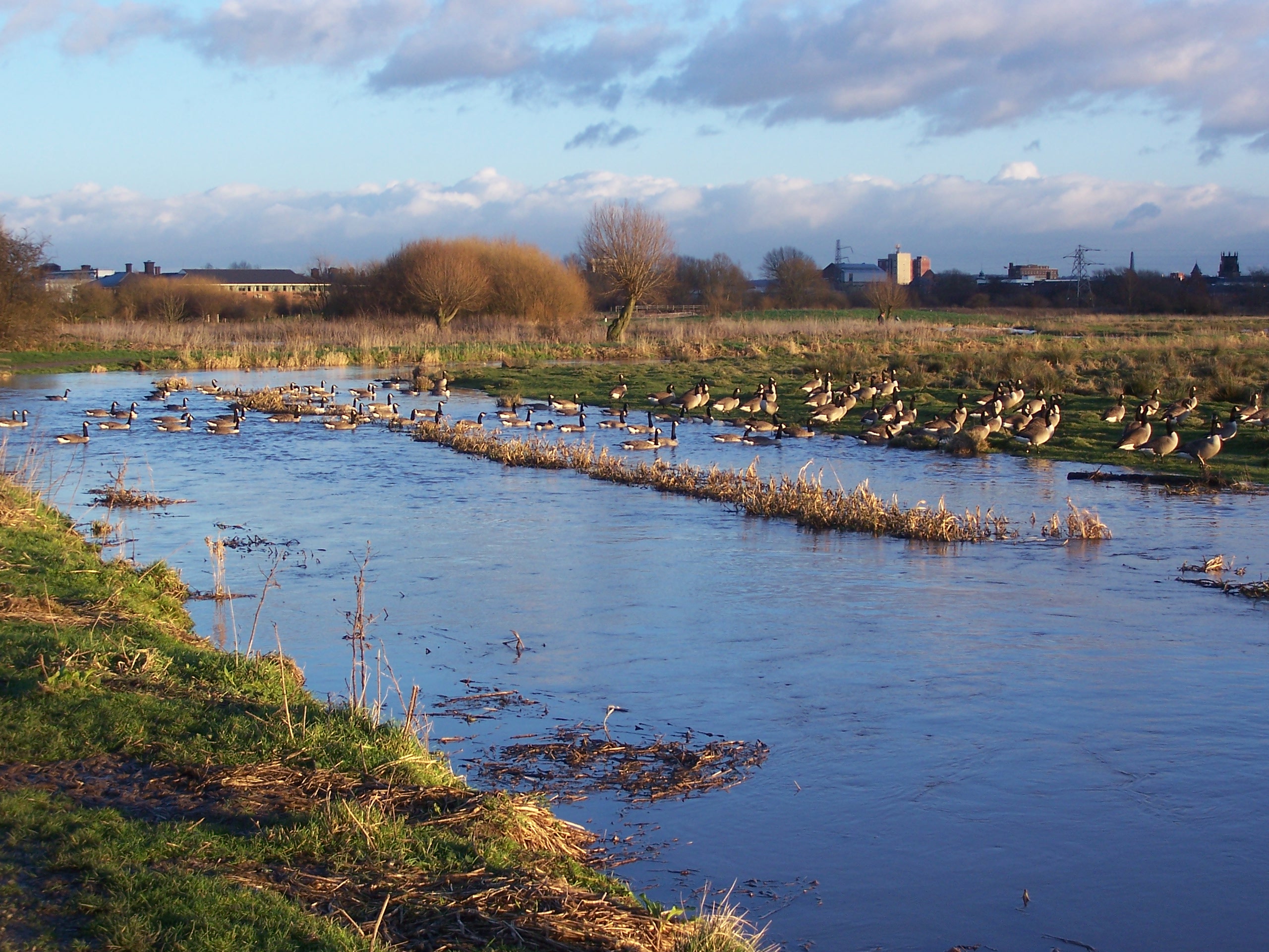
Doxey Marshes is designated as a Site of Special Scientific Interest for its wet grassland habitat and its breeding wading birds and wildfowl. It is particularly noted for its populations of breeding snipe. The habitat is one of the most threatened nationally, along with related wildlife such as snipe, lapwing, little ringed plover, otter and water shrew.
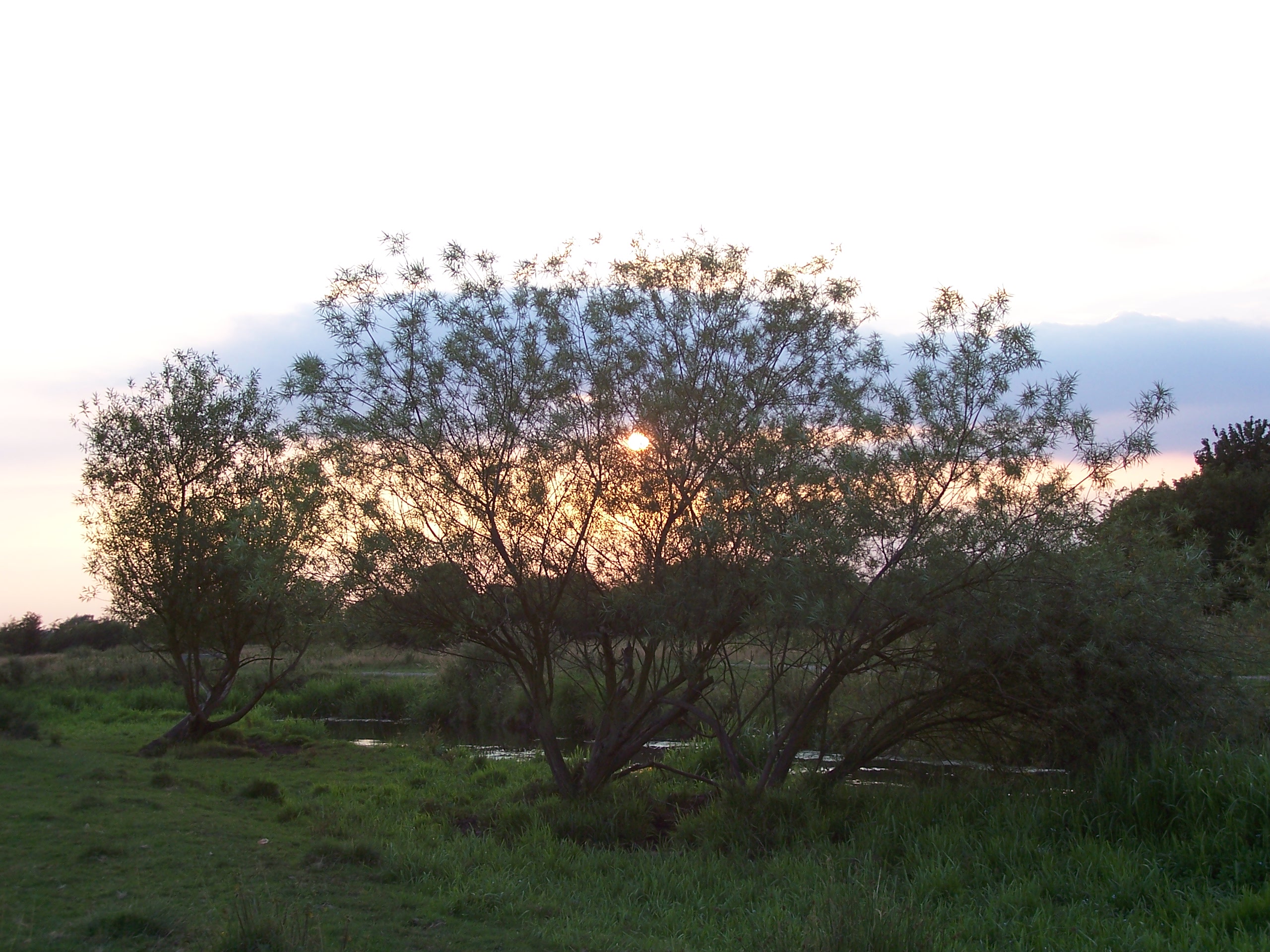
Doxey Marshes lies within the floodplain of the River Sow and periodically it breaches its banks and subjects the marshes to flooding. Wading birds love the shallow pools and muddy edges this flooding leaves behind as a source of food. In the autumn and spring during the migration period, Doxey can attract all kinds of rare birds.
Fishing permits for the 2007/8 season are available for Doxey Marshes Nature Reserve from George Bates, Market Square, Stafford.
Management of the Marshes
Doxey Marshes Nature Reserve is managed by Staffordshire Wildlife Trust.
Grazing throughout the summer is a very traditional way of managing wet grassland and keeps the grass short enough for ground nesting birds to keep a look out for predators. Cattle numbers are monitored to avoid trampling of eggs and nests early on in the breeding season.
Large areas of rush that are unpalatable to cattle are cut by hand in sections to allow open feeding areas and some cover.
Willow trees are pollarded to help them live longer. This is an ancient way of managing willow trees, the branches are cut off above cattle head height and to discourage crows and magpies from perching in the branches and predating on chicks and eggs. The musk beetle likes to live on the rotting wood inside these old willow pollards, noctule bats live in the holed and cracks in the trunk and otters sometimes lie up in the thick bush of pollarded branches to hide away from people in the daytime. The OS grid reference for Doxey Marshes is SJ903250
External links
Categories:- Staffordshire geography stubs
- Marshes of England
- Geography of Staffordshire
-


Wikimedia Foundation. 2010.