- Madura Strait
-
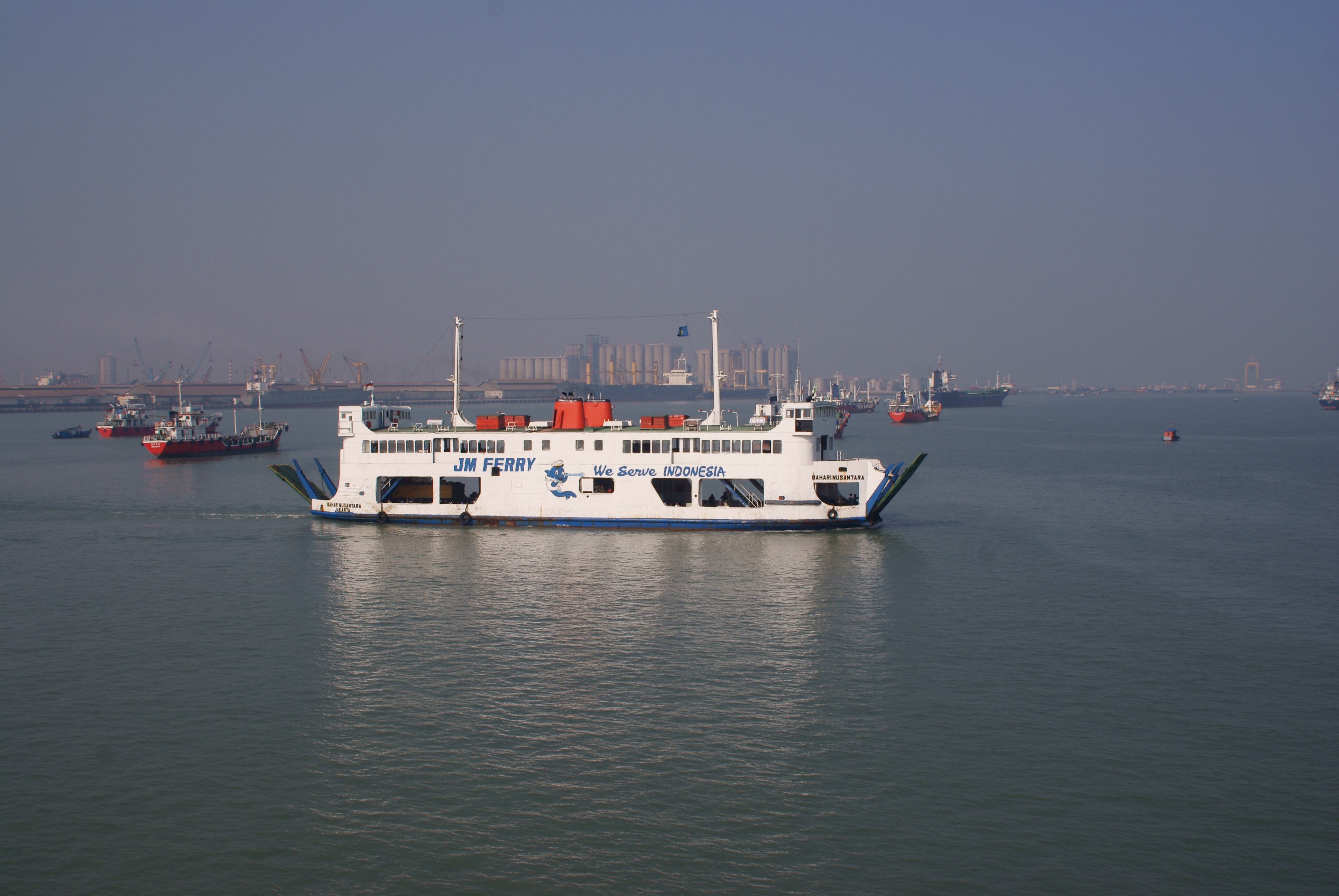
 Madura Strait ferry
Madura Strait is a stretch of water that separates the Indonesian islands of Java and Madura. The islands of Kambing, Giliraja, Genteng, and Ketapang lie in the Strait.
The Suramadu Bridge, the longest in Indonesia, spans the strait between Surabaya on Java and Bangkalan on Madura.[1]
References
- ^ Taufiq, Rohman (2009-06-10). "Indonesia Launches First Inter-Island Bridge". Tempo. http://www.tempointeractive.com/hg/nasional/2009/06/10/brk,20090610-181155,uk.html. Retrieved 2010-07-21.
Coordinates: 7°7′40″S 112°40′30″E / 7.12778°S 112.675°E
Sea Strait - Alas Strait
- Alor Strait
- Badung Strait
- Bali Strait
- Bangka Strait
- Berhala Strait
- Dampier Strait
- Gaspar Strait
- Karimata Strait
- Laut Strait
- Lombok Strait
- Madura Strait
- Makassar Strait
- Malacca Strait
- Mentawai Strait
- Ombai Strait
- Riau Strait
- Rupat Strait
- Sape Strait
- Selayar Strait
- Singapore Strait
- Sumba Strait
- Sunda Strait
- Torres Strait
- Wetar Strait
Gulf - Balikpapan Gulf
- Bintuni Gulf
- Gulf of Boni
- Cenderawasih Gulf
- Jakarta Bay
- Lampung Gulf
- Pelabuhanratu Gulf
- Saleh Gulf
- Semangka Gulf
- Tolo Gulf
- Tomini Gulf
Categories:- Straits of Indonesia
- East Java
- Madura Island
- Java geography stubs
Wikimedia Foundation. 2010.