- Orography of Azerbaijan
-

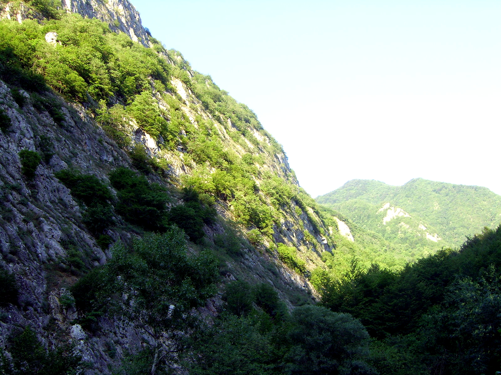
Orography of Azerbaijan refers to the rocky, mountainous and elevated terrains in Azerbaijan.
Contents
General information
Azerbaijan is typified by relief of different kinds and complexity. Over 50% of the country's area consists of the mountain ridges, crests, yailas and plateaus rises up to hypsometric levels of 400-1000m, (including the Middle and Lower lowlands), in some places (Talis, Jeyranchol-Ajinohur and Langabiz-Alat foreranges) up to 100-120m, as well as 0-50m up (Gobustan, Absheron) the rest part of which are plains and lowlands. Hypsometric marks within the Caucasus region vary in the range from about -28m at the Caspian Sea shoreline up to 4466m, (Bazardyuzi peak).
Quantitative distribution
The quantitative area distribution of Azerbaijan according to the hypsometric levels is as following:
- 18% is located below the Ocean level
- 24% has hypsometric marks ranging from 0 to 200m
- 15.5% is covered by areas which elevation ranges from 200 to 500m
- 15.5% is covered by areas which elevation marks ranges from 500 to 1000m
- 19.5% is covered by areas which elevation ranges from 1000 to 2000m high
- 6.5% is covered by areas which elevation ranges from2000 to 3000m
- 1% is covered by areas which elevation marks are over 3000m high
The average elevation is 384m high. Principle orographic units of Azerbaijan consists of the Caucasus mountain system, Samur-Davachi lowland (in conjunction with Gusar inclined plain), Kur River lowland, Minor Caucasus and Talish mountain systems.
Caucasus mountains system
The southeast part of the Caucasus mountain region is located within Azerbaijan. The basic orographic elements of this part of Caucasus system are Major Caucasus system or Watershed Ridge and the Lateral ridge. Major Caucasus ridge constitutes large portion of the Caucasus system and extends southeast off Tinov-Rosso elevation (3385m) is located at Azerbaijan border with Georgia and Dagestan.
Major Caucasus

The Major Caucasus or Watershed Ridge is not crossed with any river valleys and therefore it is also called Watershed Ridge. Most part of the ridge elevation is over 3000m high, and only in its central part it exceeds 4000m height; which are:
- Bazar-Dyuzu - 4466m
- Tufandagh - 4191m,
- Bazaryurd - 4126m
Beginning from Babadagh peak (located at 3629m, means Grandfather Mountain) the same ridge elevation gradually goes down and becomes wider. Starting from Dubrar elevation (2205m) Major Caucasus ridge plunges northeastward towards Caspian Sea like expanded fan having been cut by river valleys into separate ridges like Gadi-Kurkachidagh, Aladagh, Kemchi and others.
Lateral Ridge
The same ridges are further divided into smaller and lower ridges to pass into low elevation mountain region named Gobustan, and further on into Absheron Peninsula. North off and parallel to the Great Caucasus ridge there is a southeast trending ridge called Lateral, of which Azerbaijan section starts from the Shahdagh (located at 4243m, means Kings Mountain) extending and getting lower southeastward and terminates at Beshbarmag (located at 546m, means Five Finger Mountain) pinnacle. Lateral ridge is divided into stand alone blocks-Plateaus (Shahdagh, Gizilgaya, Budugh, and others) by river valleys that begin from Great Caucasus ridge.
Talabi-Gaynarja elevation
Northeast off and parallel to the Lateral ridge there is Talabi-Gaynarja elevation, which elevation ranges from 1000-1100m in the west down to 150-200m in the east. Ridges and elevations are divided from each other by valleys and intermontane troughs (Shahnabad, Khinalyg, Erphee, Gonagcand, Kaltan, Gilgilchay,Tigchay, Rustov, Perebedil and others).
Southern flank of the Great Caucasus ridge descended to Alazan-Ayrichay valley (in some sources Alazan-Haftaran valley, whereas in others it is considered as one of the Kur River valley parts) that in some places is parallel to the mentioned ridge. Said above valley begins from Georgia and is 210 km long and 30 km wide in Azerbaijan. Nialdagh ridge which elevation reaches up to 2100m high is extended parallel to the Great Caucasus one apart through Lahidge valley.
Categories:- Orography of Azerbaijan
- Environment of Azerbaijan

Wikimedia Foundation. 2010.