- Drahňov
-
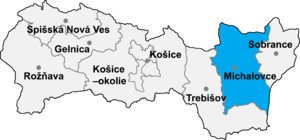
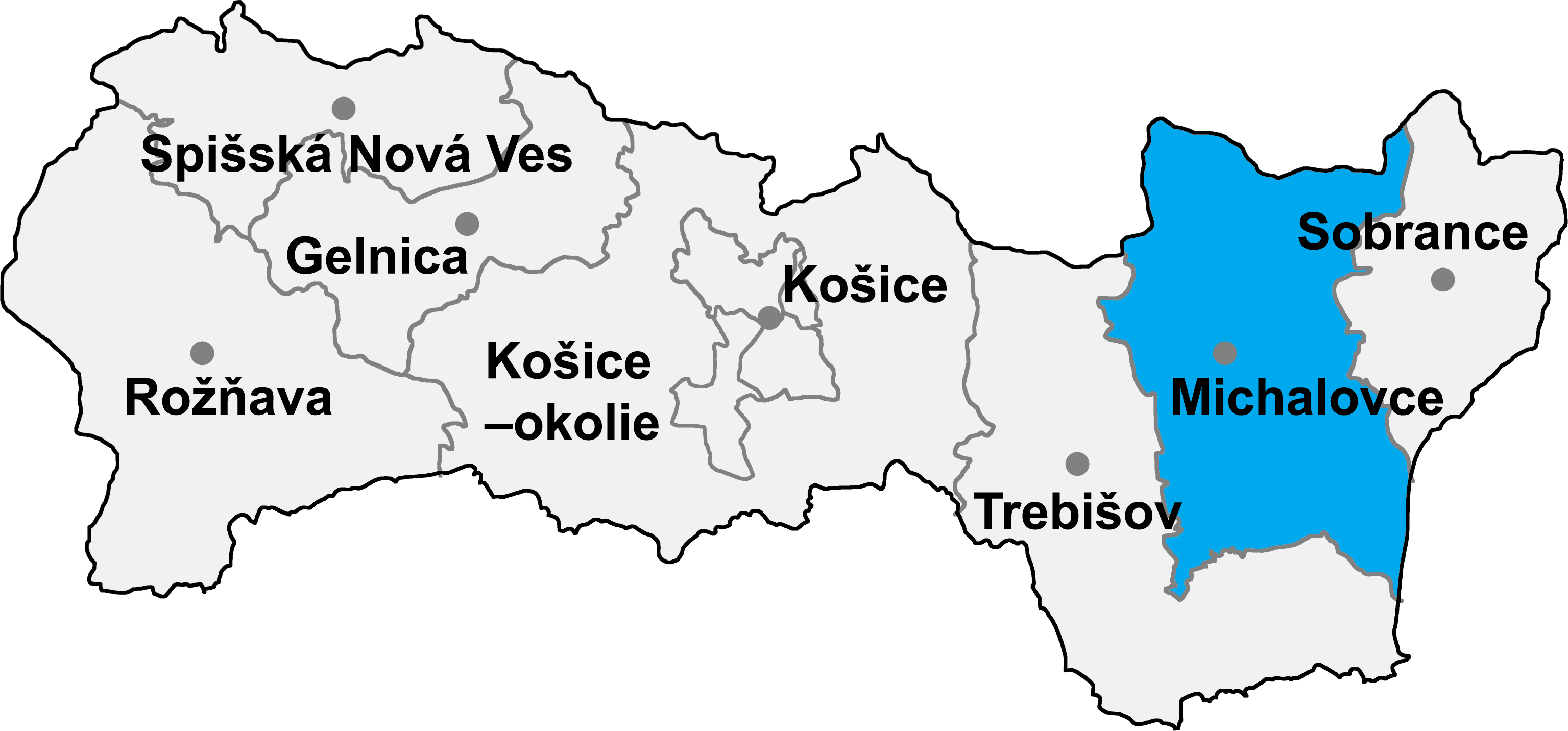
Drahňov is a village and municipality in Michalovce District in the Kosice Region of eastern Slovakia.
Contents
History
In historical records the village was first mentioned in 1315.
Geography
The village lies at an altitude of 110 metres and covers an area of 17.552 km². It has a population of about 1200 people.
Ethnicity
The population is 98% Slovak in ethnicity.
Government
The village relies on the tax and district offices, fire brigade and police force at Veľké Kapušany.
Culture
The village has a small public library, a post office, and a food store.
Sports
The village has a football pitch.
Transport
The village has a railway station.
External links
Bajany · Bánovce nad Ondavou · Beša · Bracovce · Budince · Budkovce · Čečehov · Čičarovce · Čierne Pole · Drahňov · Dúbravka · Falkušovce · Hatalov · Hažín · Hnojné · Horovce · Iňačovce · Ižkovce · Jastrabie pri Michalovciach · Jovsa · Kačanov · Kaluža · Kapušianske Kľačany · Klokočov · Krásnovce · Krišovská Liesková · Kusín · Lastomír · Laškovce · Lesné · Ložín · Lúčky · Malčice · Malé Raškovce · Markovce · Maťovské Vojkovce · Moravany · Nacina Ves · Oborín · Oreské · Palín · Pavlovce nad Uhom · Petrikovce · Petrovce nad Laborcom · Poruba pod Vihorlatom · Pozdišovce · Ptrukša · Pusté Čemerné · Rakovec nad Ondavou · Ruská · Senné · Slavkovce · Sliepkovce · Staré · Stretava · Stretavka · Suché · Šamudovce · Trhovište · Trnava pri Laborci · Tušice · Tušická Nová Ves · Veľké Raškovce · Veľké Slemence · Vinné · Vojany · Voľa · Vrbnica · Vysoká nad Uhom · Zalužice · Závadka · Zbudza · Zemplínska Široká · Zemplínske Kopčany · Žbince
Coordinates: 48°35′N 21°58′E / 48.583°N 21.967°E
Categories:- Villages and municipalities in Michalovce District
- Michalovce District geography stubs
Wikimedia Foundation. 2010.