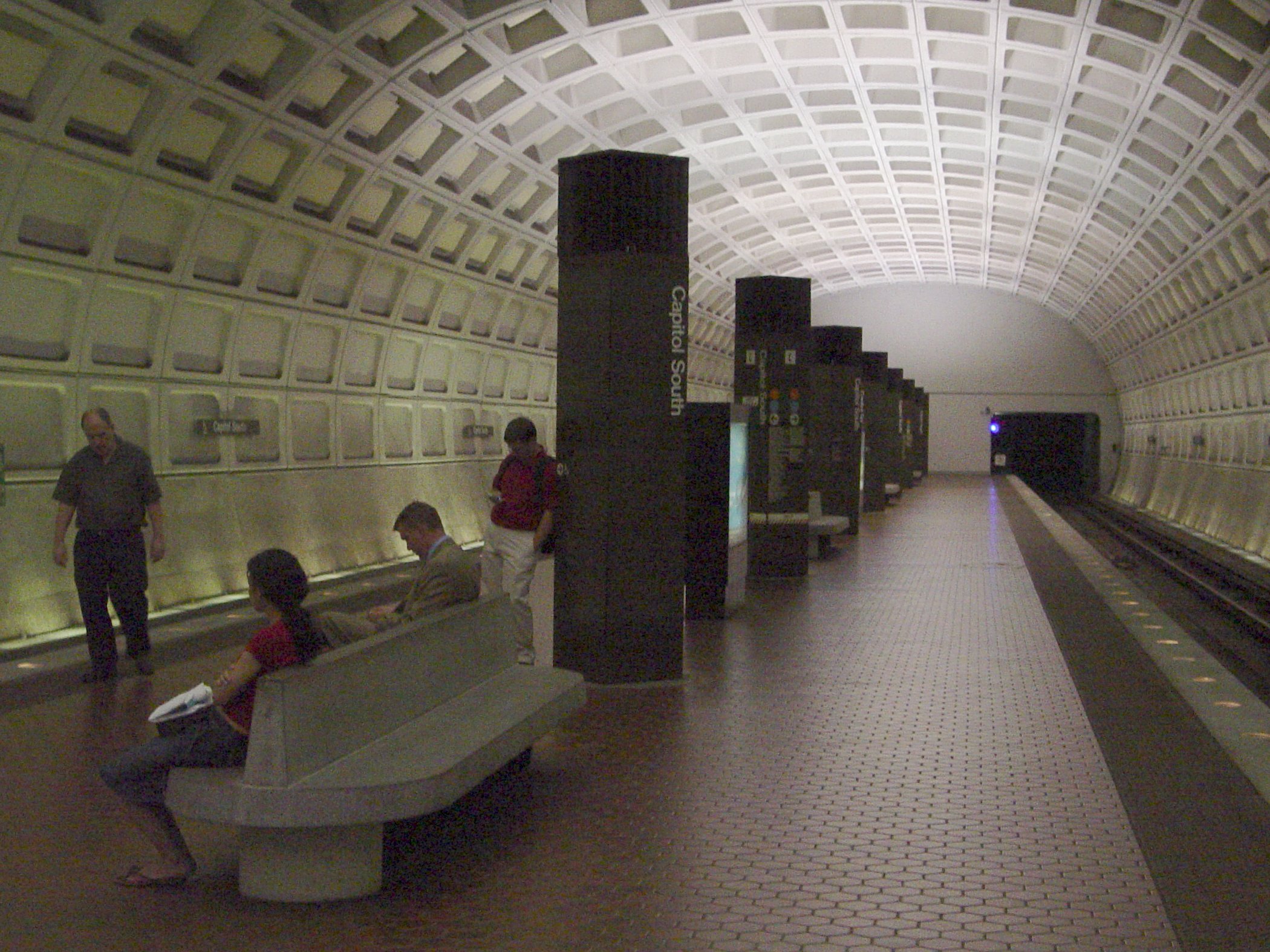
- Capitol South (Washington Metro)
Infobox Station
name = Capitol South

logo_size = 50px
image_size =
image_caption =
address = 355 1st Street, SoutheastWashington, D.C. 20003
line =
other =
platform = 1island platform
tracks = 2
parking =
bicycle =
passengers = 2.794 million
pass_year = 2001
pass_percent = 0
opened =July 1 ,1977
rebuilt =
ADA = Yes
code = D05
owned =Washington Metropolitan Area Transit Authority
zone =
services =
mpassengers =Capitol South is a
Washington Metro station inWashington, D.C. , on the Blue and Orange Lines. It is also on the planned Silver Line route.The station is located in Southeast Washington on 1st Street SE, with entrances at C Street and D Street. As this is the nearest station to the
US Capitol and theLibrary of Congress , it is quite popular with tourists. Service began onJuly 1 ,1977 .Notable places nearby
* United States Capitol complex:
**United States Capitol
** House Office Buildings
**United States Capitol Subway System
*United States Supreme Court
*Library of Congress
*Folger Shakespeare Library
*Republican National Committee Incidents
In January 2007, the station was closed temporarily when a person was struck by a train.
Bus routes
Metrobus
* 32, 36
* 39
* A11
* N22OmniRide Commuter Bus
* OmniRideReferences
* [http://www.wmata.com/about/met_news/story.cfm?ID=1092 WMATA Article on station closing, calls the station "Capitol Heights" but route description fits Capitol South]
External links
* WMATA: [http://www.wmata.com/metrorail/Stations/station.cfm?station=59 Capitol South Station]
* StationMasters Online: [http://www.stationmasters.com/System_Map/CAPITOLS/capitols.html Capitol South Station]
* The Schumin Web Transit Center: [http://transit.schuminweb.com/rail/washington/blue-line.asp?station=D05 Capitol South Station]
Wikimedia Foundation. 2010.