- Pokigron
Infobox Settlement
official_name = Pokigron
other_name =
native_name =
nickname =
settlement_type =
motto =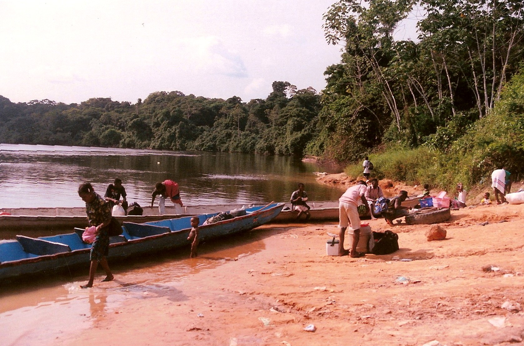
imagesize = 300px
image_caption =
flag_size =
image_
seal_size =
image_shield =
shield_size =
image_blank_emblem =
blank_emblem_type =
blank_emblem_size =
mapsize =
map_caption =
mapsize1 =
map_caption1 =
image_dot_
dot_mapsize =
dot_map_caption =
dot_x = |dot_y =
pushpin_
pushpin_label_position =bottom
pushpin_map_caption =Location in Suriname
subdivision_type = Country
subdivision_name =
subdivision_type1 = District
subdivision_name1 =Sipaliwini
subdivision_type2 = Resort (municipality)
subdivision_name2 = Boven Suriname
subdivision_type3 =
subdivision_name3 =
subdivision_type4 =
subdivision_name4 =
government_footnotes =
government_type =
leader_title =
leader_name =
leader_title1 =
leader_name1 =
leader_title2 =
leader_name2 =
leader_title3 =
leader_name3 =
leader_title4 =
leader_name4 =
established_title =
established_date =
established_title2 =
established_date2 =
established_title3 =
established_date3 =
area_magnitude =
unit_pref =Imperial
area_footnotes =
area_total_km2 =
area_land_km2 =
area_water_km2 =
area_total_sq_mi =
area_land_sq_mi =
area_water_sq_mi =
area_water_percent =
area_urban_km2 =
area_urban_sq_mi =
area_metro_km2 =
area_metro_sq_mi =
area_blank1_title =
area_blank1_km2 =
area_blank1_sq_mi =
population_as_of =
population_footnotes =
population_note =
population_total =
population_density_km2 =
population_density_sq_mi =
population_metro =
population_density_metro_km2 =
population_density_metro_sq_mi =
population_urban =
population_density_urban_km2 =
population_density_urban_sq_mi =
population_blank1_title =Ethnicities
population_blank1 =
population_blank2_title =
population_blank2 =
population_density_blank1_km2 =
population_density_blank1_sq_mi =
timezone =
utc_offset =
timezone_DST =
utc_offset_DST =
latd=4|latm=39 |lats= |latNS=N
longd=55 |longm=22 |longs= |longEW=W
elevation_footnotes =
elevation_m = 75
elevation_ft =
postal_code_type =
postal_code =
area_code =
blank_name =
blank_info =
blank1_name =
blank1_info =
website =
footnotes =Pokigron is a town in
Suriname located onBrokopondo Reservoir . It is located in the Boven Suriname municipality (resort) in theSipaliwini District . It has a population of approximately 500 people.Nearby towns and villages include
Wittiehede Ston (19.6 nm),Mofina (15.6 nm),Wittikamba (1.4 nm),Malrosee-Kondre (5.1 nm) andAbenaston (3.0 nm).External links
* [http://www.maplandia.com/suriname/sipaliwini/boven-suriname/pokigron/ Satellite map at Maplandia.com]
* [http://encarta.msn.com/encnet/features/mapcenter/map.aspx?TextLatitude=4.66963000769529&TextLongitude=-55.5723042194347&TextAltitude=7&TextSelectedEntity=9084515&MapStyle=Comprehensive&MapSize=Large&MapStyleSelectedIndex=0&searchText]

Wikimedia Foundation. 2010.